
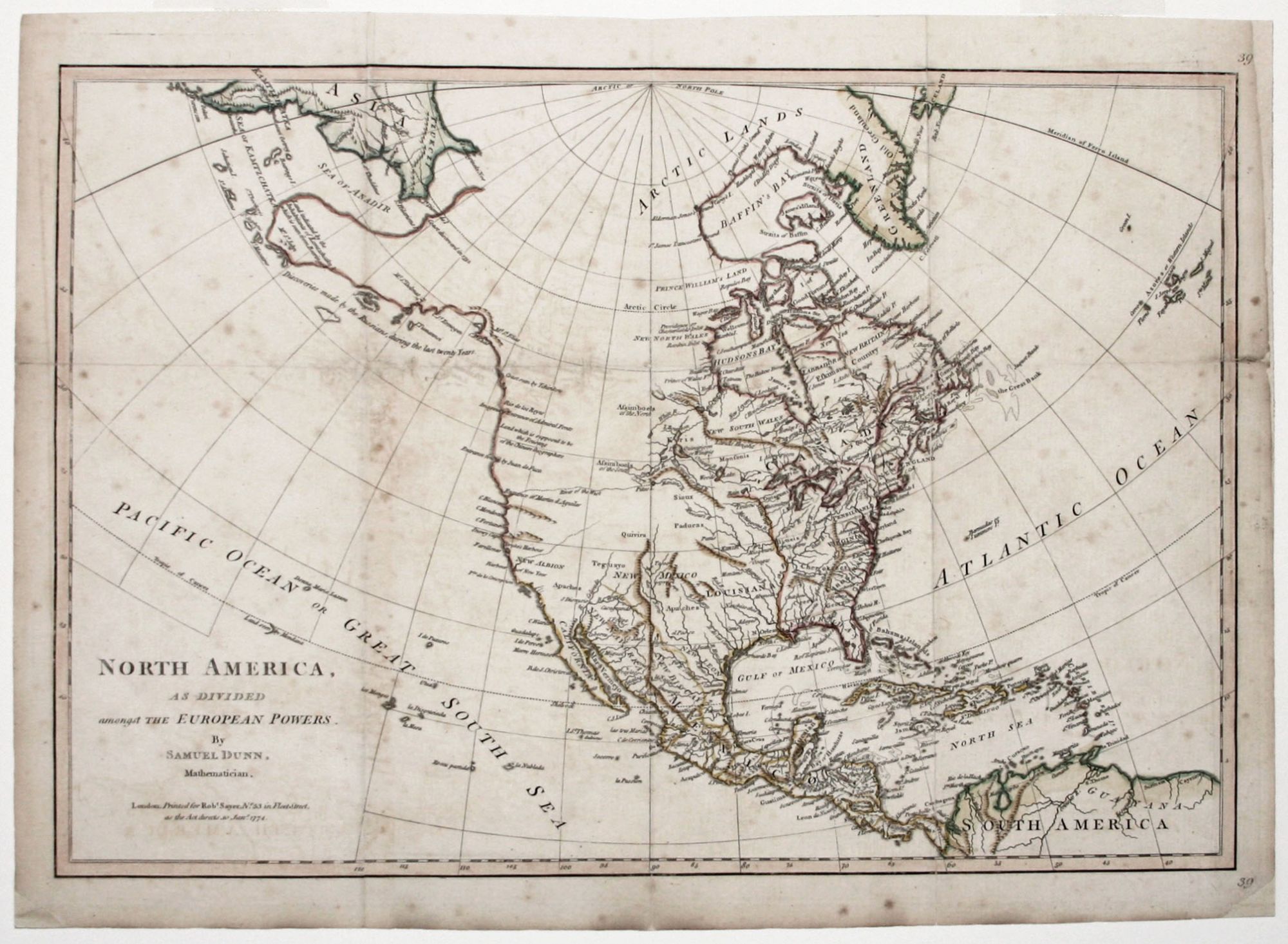
North America, As Divided amongst The European Powers….
12 x 17 ½ inches, Original outline & wash color; some faint foxing, few fold reinforcement, very good.
First edition of this scarce map that would be one of the last to show North America as the shared realm of the three major European powers. The early colorist has not surprisingly come down hard in favor of English territorial rights.
The map displays an effort to provide current information regarding the west and even includes the "Land which is supposed to be the Fousang of the Chinese Geographers." Although quite misshapen, Alaska is represented and accompanied with the notation--"Discoveries made by the Russians, during the last twenty Years." The mythical River of the West is a long, dotted line that connects Aguilar's entrance north of San Francisco Bay (here called Drake's Harbor) with a river system below Lake Winnipeg. Several Indian tribes are located and major cities are named. Texas is here called New Leon. The map was published in Sayer's Military Pocket Atlas, 1776, which was intended for British officers participating in the American Revolution.
Sold