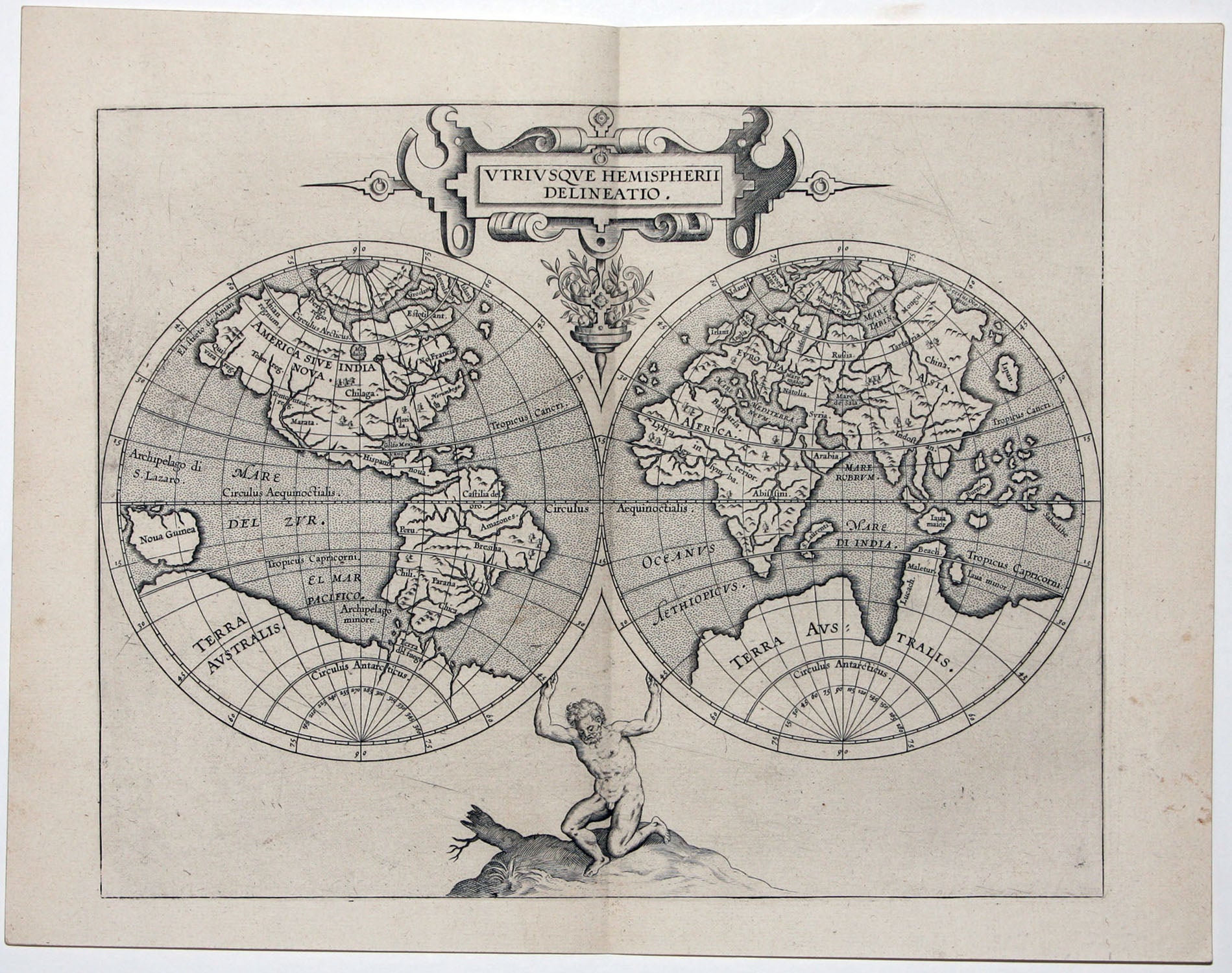
World.
[Louvain, 1598]
Utriusque Hemispherii Delineatio.
9 x 11 ¼ inches, Fine condition.
A superb example of this early, double-hemisphere world map of delicate beauty, based on the great Mercator world map of 1569. Its design is refreshingly uncluttered, and the well-engraved figure of Atlas can be seen hefting both hemispheres. Two of the earliest North American place names—‘Norumbega’ for the Northeast and ‘Florida’ for the entire Southeast—appear on the map. The southern hemisphere is dominated by a vast Terra Australis.
* Shirley 207.
Sold
See all items in
Antique Maps
See all items by C. WYTFLIET