
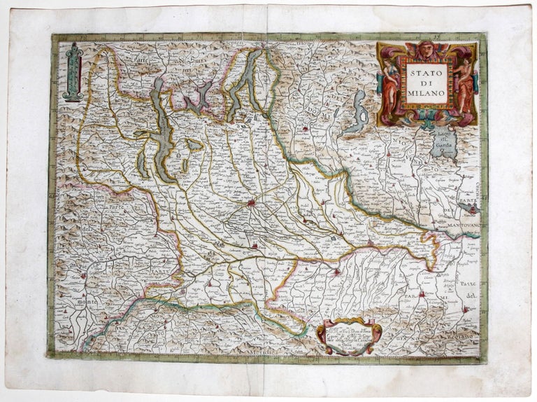
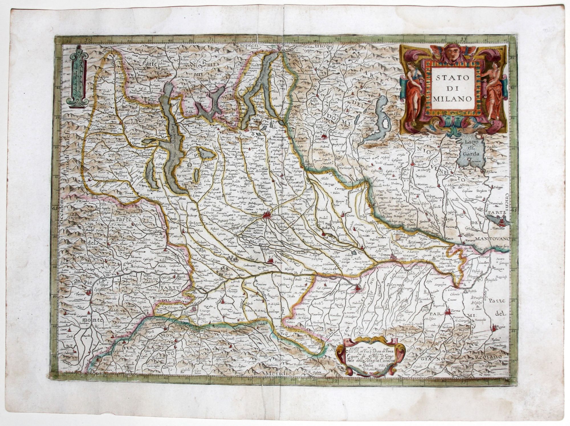
Stato di Milano.
13 ½ x 18 ¼ inches, Fine original color, refreshed; printers crease reinforced; else excellent condition. A scarce, richly decorative map of the Duchy of Milan from the first Italian national atlas. The Duchy – then a possession of the Spanish – is shown amidst powerful rivals, wedged between Piedmont/Savoy to the west, the Republic of Venice to the east, the Swiss Confederacy to the north, and separated from the Mediterranean by Monferrato to the south. This finely detailed regional survey appeared in Giovanni Antonio Magini’s landmark Italia (Bologna, 1620), a monumental project that synthesized the great, scattered Italian cartography of the sixteenth century—including masterpieces of the "Lafreri" school—into a single, unified format. The atlas occupied the better part of Magini’s later life; following his death in 1617, the work was faithfully completed and published by his son, Fabio. Magini was a highly innovative figure in Italian map design, becoming the first in the region to systematically adopt the grand Dutch aesthetic. By integrating the elaborate, baroque cartouches and strapwork ornamentation popularized by northern masters like Mercator, Hondius, and Ortelius, Magini introduced a uniformly rich, dramatic visual style entirely unprecedented in printed Italian cartography. This map also features the hand of the celebrated English engraver Benjamin Wright, a peripatetic artisan who lived in Mantua and Bologna.
Price: $650.00