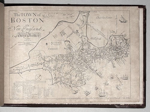

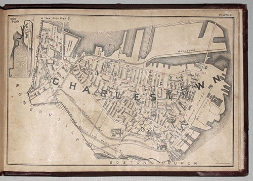
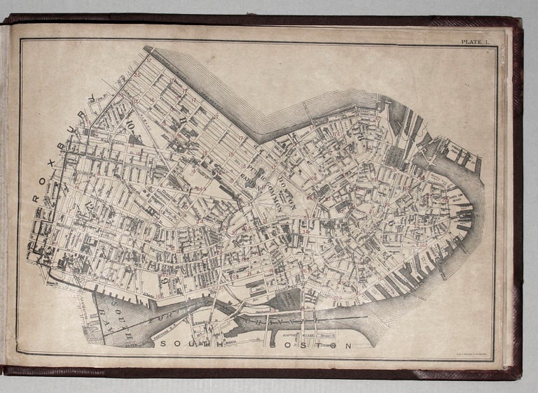
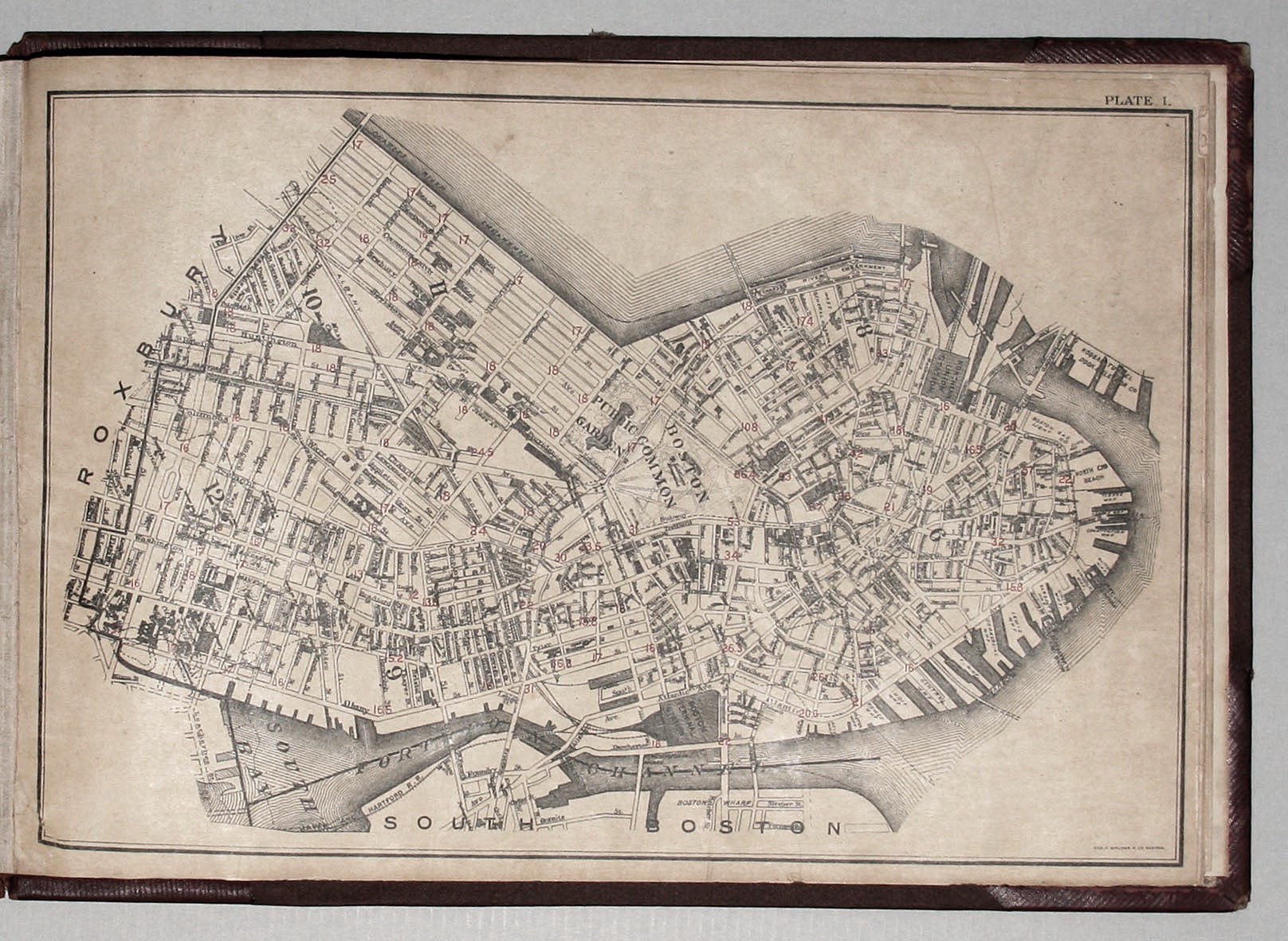
Untitled atlas of Boston consisted of 10 street plans of part of the city, a key map of the plans, and two contemporaneous reproductions of early maps of Boston, thus 13 plates in all.
9 ½ x 14 inches, Oblong quarto, quarter red morocco & cloth, light wear & staining, marbled end papers & on versos of blanks front & back; street plans on heavy, coated paper, toned & some chipping, overall very good.
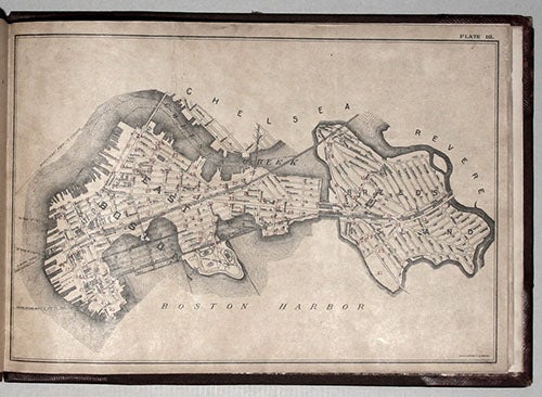
An unrecorded atlas of the city of Boston, likely originally prepared for a municipal agency. Although the Walker firm produced over the years numerous maps and plans of Boston, we have yet to find the particular ones in this work in public collections or market records. The ten plans of various parts of the city in the volume each have several numbers printed over them in red. While it's possible the numbers refer to elevations, some of the variances among the numbers suggest otherwise and that they may refer to an undetermined internal reference system. The reproduced early maps in the volume are of the 1722 Bonner plan and the 1833 Wadsworth plan.
George H. Walker was a prominent Boston lithographer and printer beginning in the 1870's; in the 1880's Geo. H. Walker & Co. was formed and it would persist well into the 20th century.
Sold