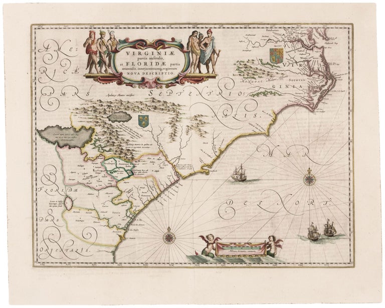
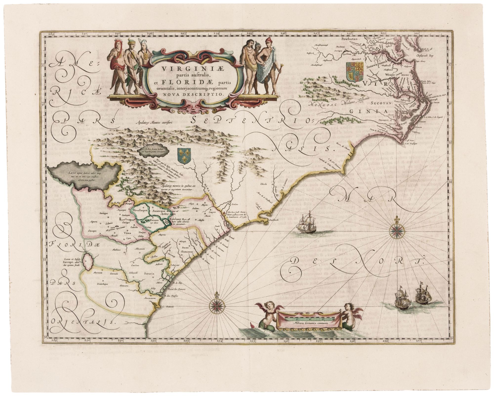
Virginiae partis australis, et Floridae . .
15 x 19 ¾ inches, Fine original color; surface mend with virtually no loss, very good. A map that combines great beauty with historical importance: “the most correct map of this area yet to appear.” (Cumming) The map updates and improves Mercator & Hondius’ Virginia Item et Floridae, a map forty years older focusing on the same region. While some features are retained – notably a large Appalachian lake in which the natives were said to find silver – Blaeu’s map shows a much improved coastline, replacing Mercator’s somewhat crude depictions derived from the John White and Le Moyne maps. The South Carolinacoast and the Outer Banks have been updated, and the map shows the early Irish settlementat Newport News. Aesthetically, the map is a particularly attractive example of Blaeu’s open and clean engraving style. Decorative elements include three ships, two elegant compass roses with rhumb lines, a pair of aquatic putti displaying the scales, and six Native Americans flanking a beautifully executed cartouche. Burden 253; Cumming 41; Goss 31.
Sold