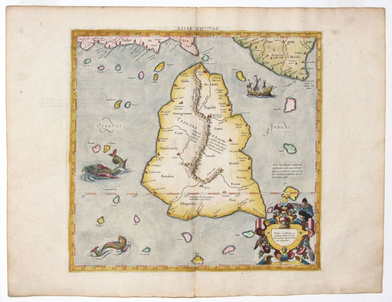
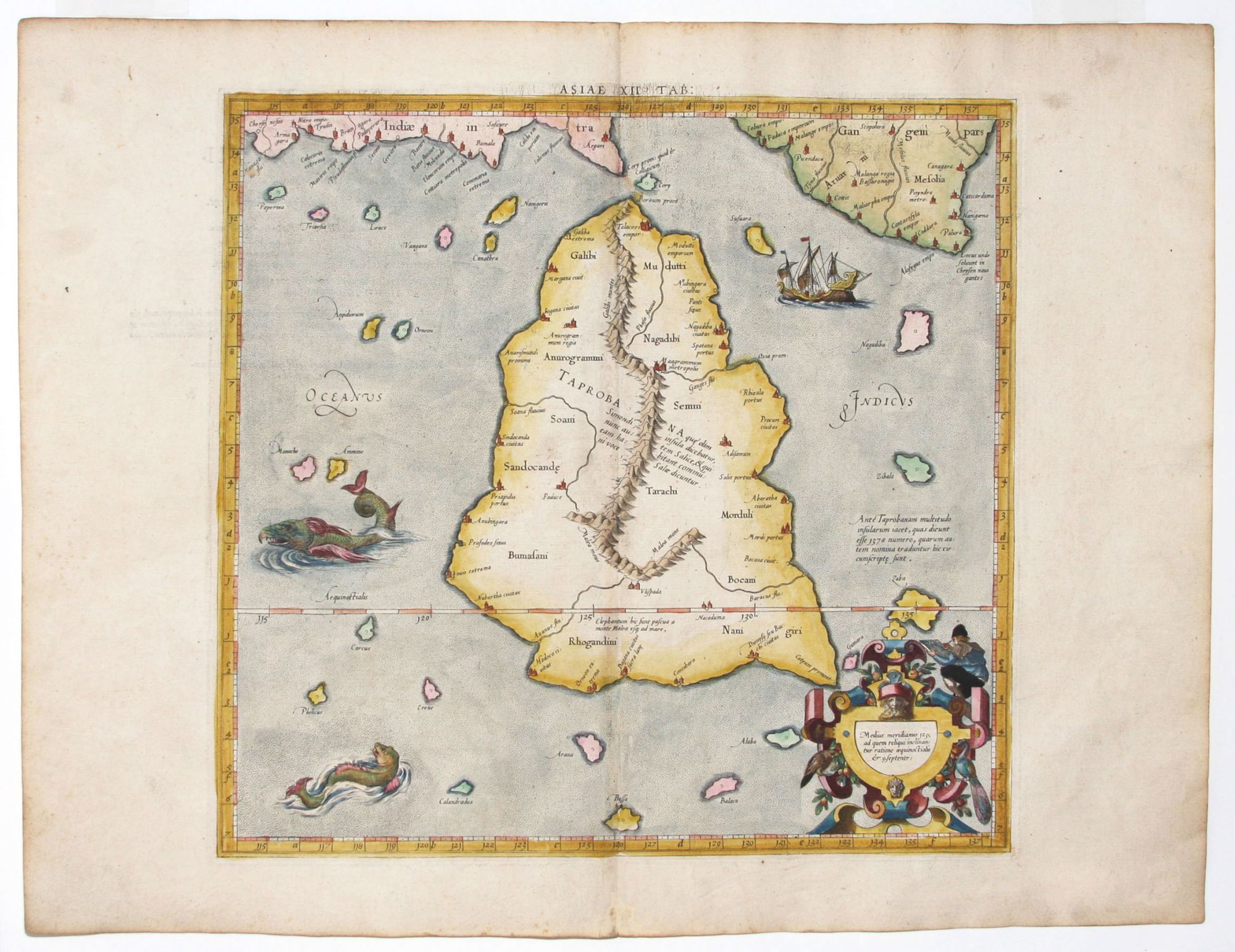
Asiae XII Tab.
13 5/8 x 13 7/8 inches, Fine hand color; excellent condition. The rare, first edition of the map of Sri Lanka that appeared in Mercator’s definitive edition of Ptolemy’s Geographia, which became the standard text. It was based on the best available sources, and all of its maps were re-edited and redrawn to conform more closely to Ptolemy’s original design. Ptolemy’s was the first depiction of any island in the Indian Ocean, and while 16th century geographers were uncertain whether the island depicted here was Sri Lanka or Sumatra, it paved the way for more up-to-date and correct efforts at mapping south and southeastern Asia. Perched in the cartouche of this map, at top right, is an engraver (Mercator?) pictured in the act of engraving this map. Unusual for the time, Mercator was in fact the engraver of many of his maps and globes. Related to this, Mercator in 1540 published Literarum latinarum, the first instructional handbook in the use of the italic hand to appear outside of Italy. It was also the first work to offer instruction in the use of italic script in the engraving of maps. The maps in Mercator’s Ptolemy are arguably the finest demonstrations Mercator provided in the use of italics. Moreover, “the beauty and legibility of the best sixteenth and severteenth-century Dutch maps can be traced in large measure to Mercator’s influence” (Karrow, p. 382).
* Karrow, R. Mapmakers in the Sixteenth Century, pp. 376-406.
Sold