
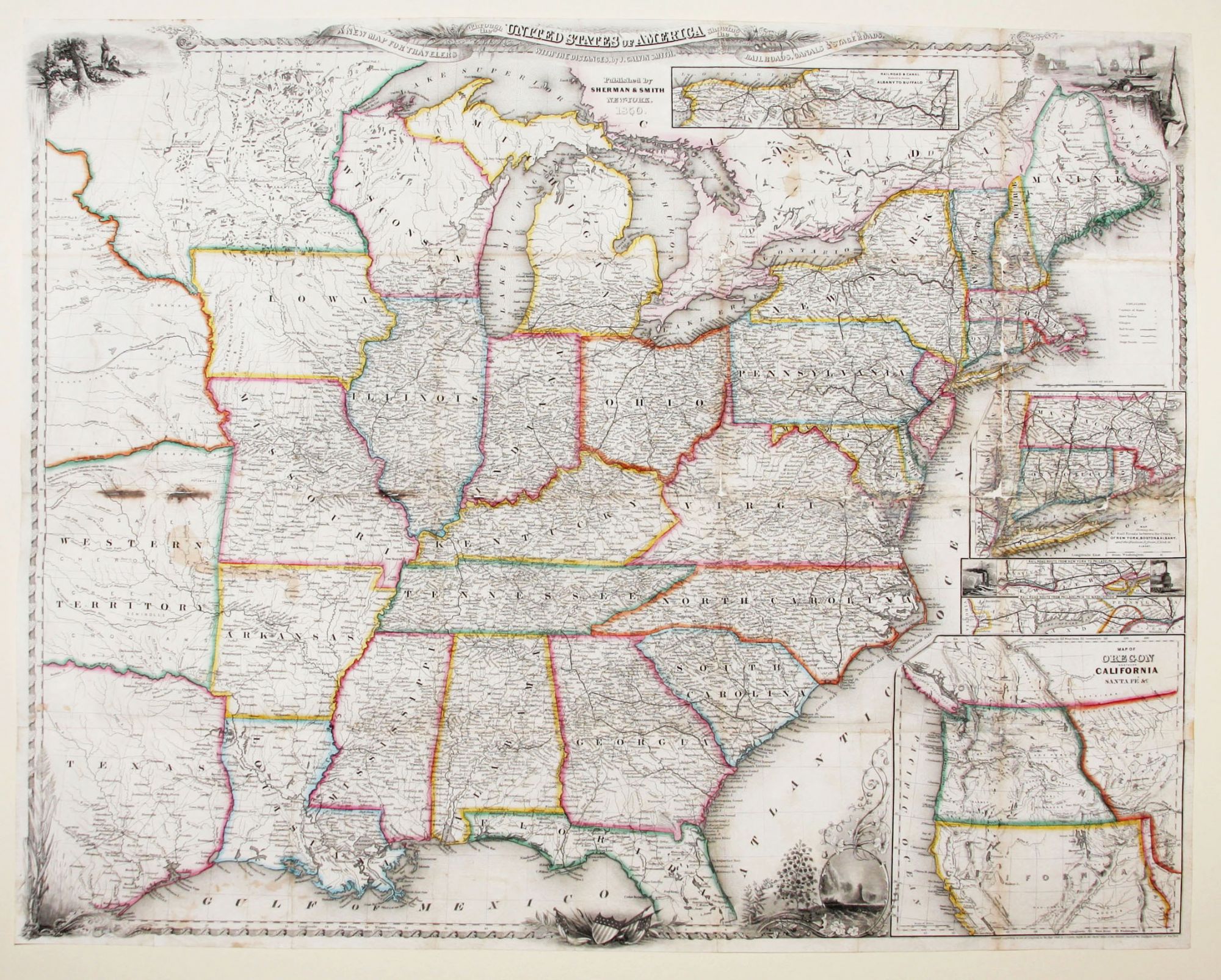
A New Map For Travelers Through The United States Of America Showing The Railroads, Canals & Stage Roads.
21 ¾ x 26 inches. Lithograph with original hand color; some fold reinforcements, with some mended losses at intersections, very good condition.
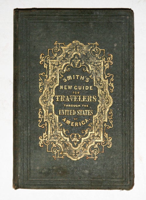
A delicately beautiful map of mid-19th century United States with extensive transportation-related content. Four of the work’s five inset maps focus on rail lines and canals in specific parts of the country. The large inset of the western United States at bottom right completes the picture of the country that is not shown in the main map. Thus, all of Texas is shown on the map, and the California Territory is depicted as stretching as far east as the Texas border. The map, generally, is very well detailed and shows stage roads in addition to railroads and canals. It has a beautifully rendered floral border, in which are fine scenic vistas, including of Niagara Falls and a harbor scene with ship that is powered by both steam and sail. Published in A New Guide for Travelers…80 pp, excellent, in original binding (included but separate).
* Modelski, Railroad Maps, no. 8.
Sold