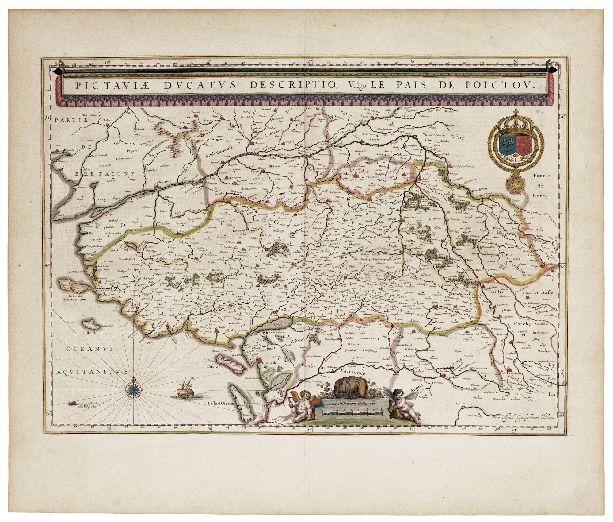
Pictaviae Ducatus Descriptio, vulgo Le Pais De Poictou.
15 x 21 inches. Fine original color; minor scuff at margin, else fine. Stunning, original-color map of what is now Poitou-Charetnes, southwestern France between the Loire River and the Charente River. The region has long been known for its wines, particularly for cognac. The scales at the bottom of the map are flanked by putti, one with a draftsman’s square, while the other appears to be slumped over a wineskin. In the sixteenth and seventeenth centuries, Poitou was persistently Huguenot. As a result of France’s religious wars, many of these French Protestants emigrated to America, with the result that a significant number of the French settlers in Acadia starting in 1604 originated from the area depicted on this map.
Sold