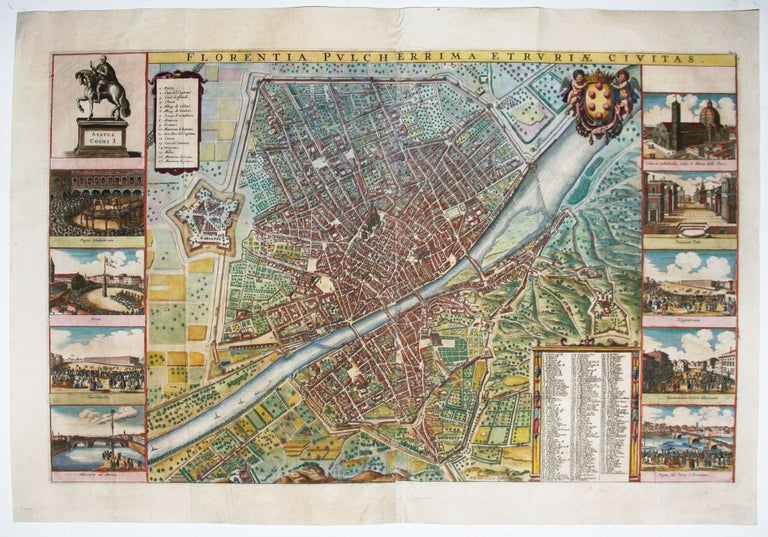
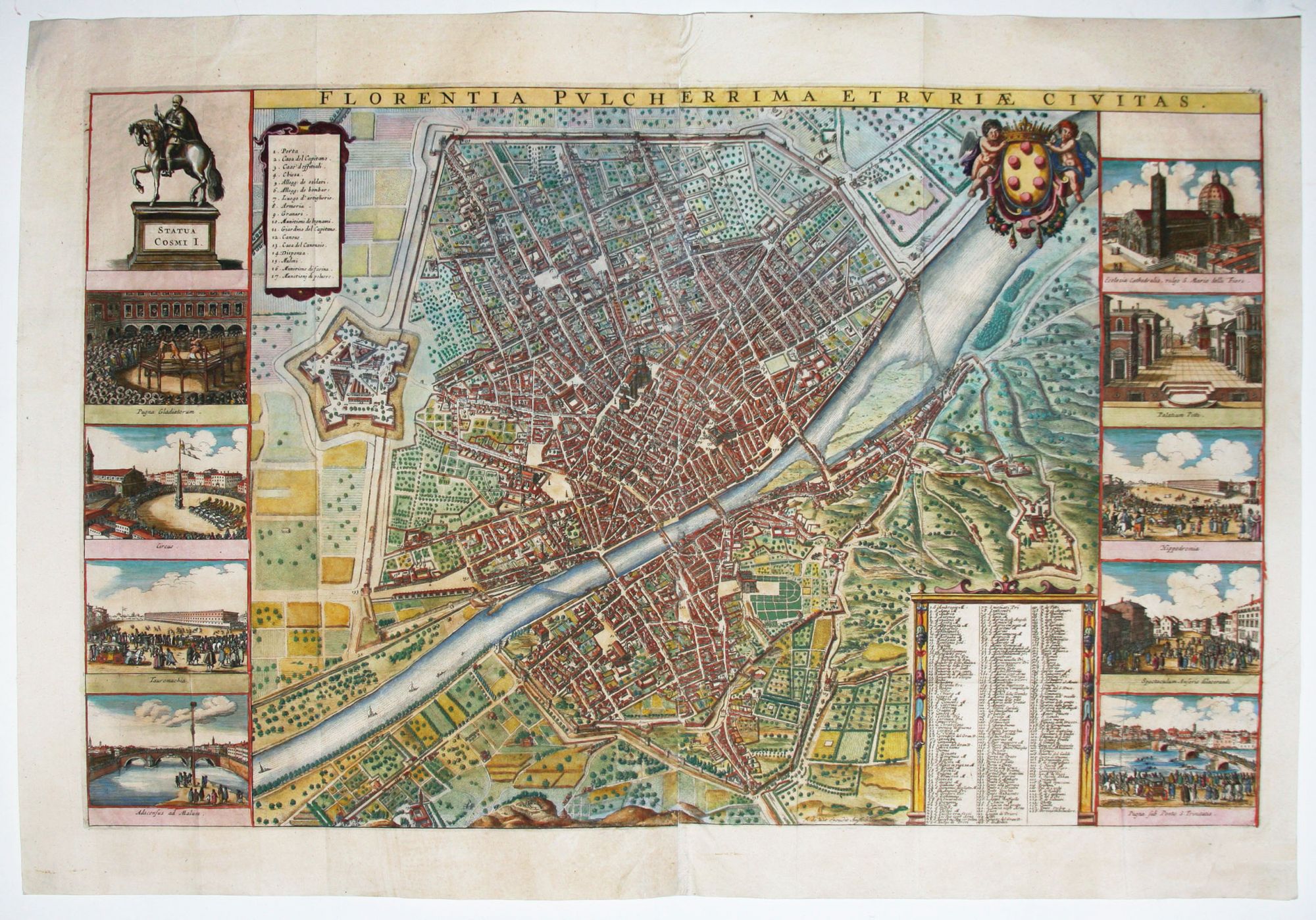
Florentia Pulcherrima Etruriae Civitas.
17 1/8 x 28 inches, Fine hand color; excellent condition; museum-mounted & framed. Frederick de Wit studied under Willem Blaeu in Amsterdam and began his own cartographic business around 1654. In 1662 began to publish atlases. He is best known for the lavish maritime atlas Tabula Maritimae (1675) and his city views.
A remarkably detailed and beautiful plan of Florence and its immediate surroundings, including Fiesole. No fewer that 228 structures are listed and keyed to the plan. In a departure from the usual subjects that ordinarily flank early maps, this work offers several scenes of cultural events, most being athletic in nature, such as boxing, boat and horse racing, and other physical spectacles. However, fine vignettes of the Pitti Palace and the Duomo are also included. Boffito says this work was originally engraved by the Czech master artist and engraver, Wenceslaus Hollar, in 1660. Whether this issue is from the same plate or from a new one is unclear.
* Boffito, Firenze Nelle Vedute E Piante, pp. 70-71.
Sold