
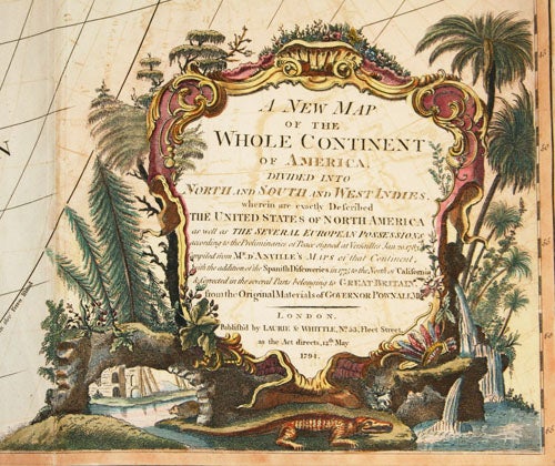
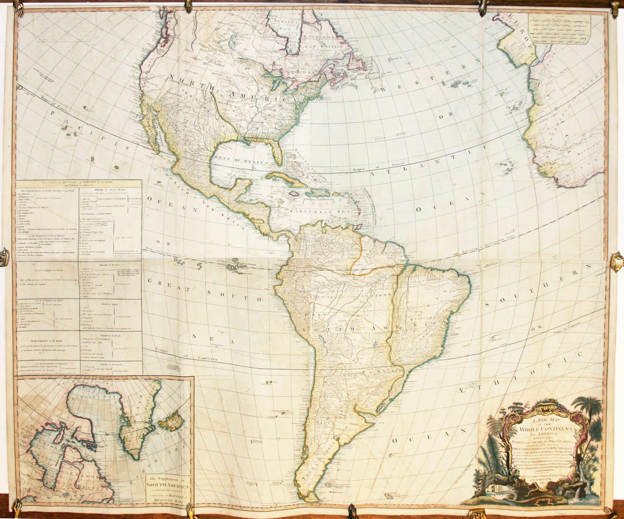
A New Map Of The Whole Continent Of America.
40 ¼ x 46 ¼, Four joined sheets; fine original & later color; some offsetting, else excellent.
An excellent, Federal-period wall map of the Americas, based on French and Spanish as well as English sources. Curiously, though dated well before the Louisiana Purchase, the map’s coloring, some of which is original in this area, shows the territory of the purchase as part of the United States. However, although West Florida was claimed by the United States as part of the Louisiana Purchased, it is still shown as Spanish territory on the map. The post-Revolutionary War border between the United States and Canada, as determined at the Treaty of Paris of 1783, is engraved on the map. The table at left lists the various territories and islands in the possession of the United States, Great Britain, Spain, France, Portugal, Denmark, and the Netherlands.
The Northwest coast is relatively well mapped, as a result of the use of Spanish sources. The beginnings of the mapping of the Canadian Rockies and the coastal ranges in Canada and the Northwest are in evidence. The names and locations of Indian tribes are given throughout both North and South America. The inset map at lower left is of upper eastern Canada, focusing on Hudson’s and Baffin’s bays and Greenland, which, oddly, is shown as connected to Canada.
* Tooley, America, p. 52, 3f.
Sold