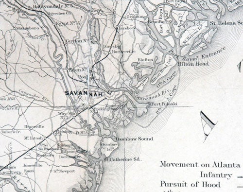
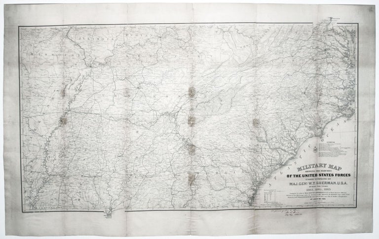
Military Map Showing The Marches Of The United States Forces Under Comman Of Maj. Genl. W. T. Sherman. U. S. A. During The Years 1863, 1864, 1865.
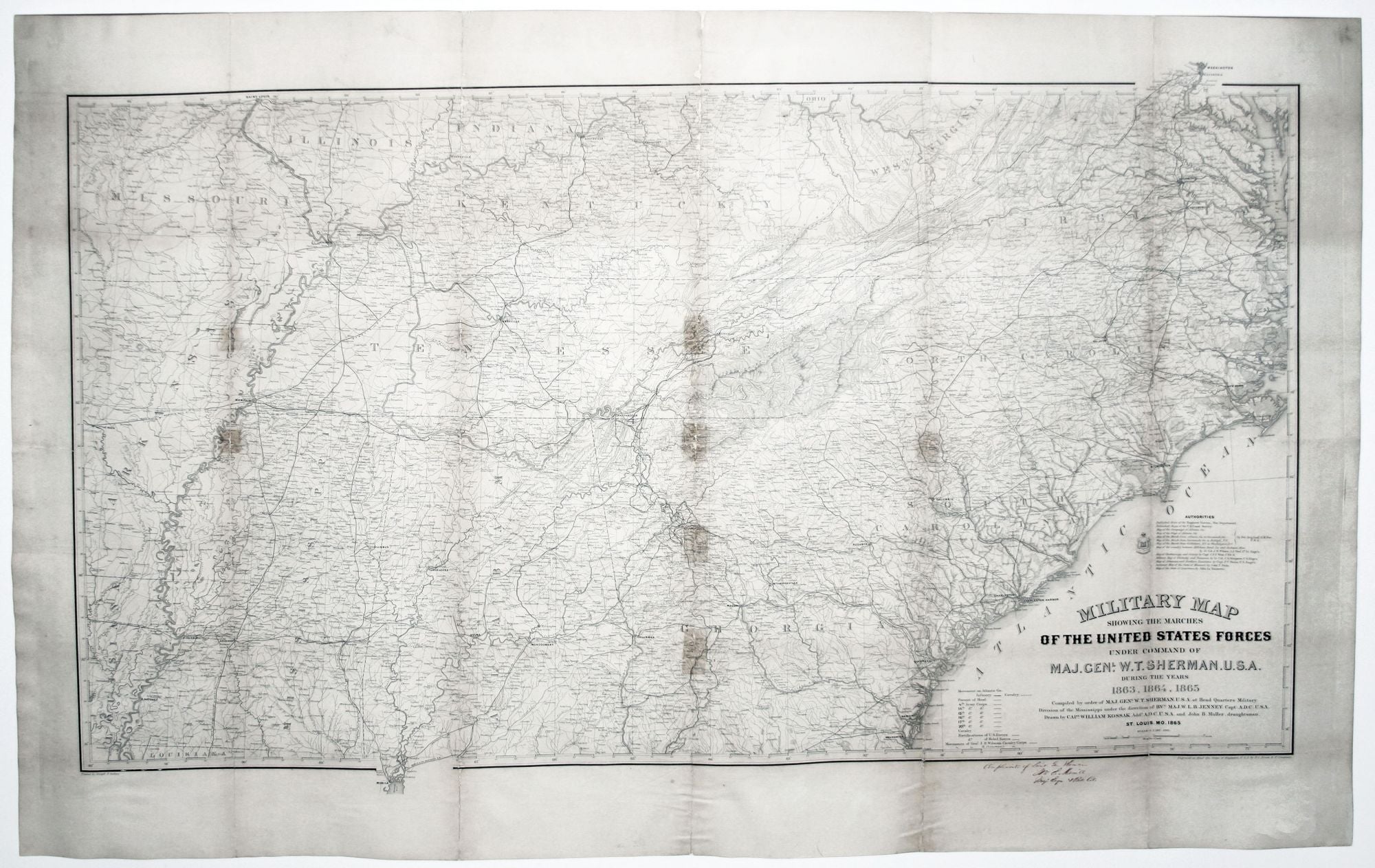
26 3/8 x 46 inches, Lithograph. Inscription in red ink. Mounted on acid-free paper, some tape stains, reinforced splits & restoration at few fold intersections, very good.
Separately published. The first edition of a remarkably detailed military map that provided the best contemporaneous cartographic record of the Georgia campaign. With a manuscript inscription in behalf of Sherman in the hand of Brevet Colonel William E. Merrill at lower right: “Compliments of Lieut. Gen. Sherman Wm. E Merrill Maj. Engn. & Bvt. Col.” The map contains precise and important military detail of the campaign, including the routes of the various corps of the Union army and of the cavalries of both combatants, and the fortifications of both sides. This work was a compilation of the numerous maps made in the field during the campaign as well as of other sources, which are enumerated in the list of “Authorities” above the title.
Merrill was head of the Topographical Department of the Army of the Cumberland and was charged with creating the maps to be used by commanders during the campaign depicted here. He directed one of the most remarkable and important mapmaking operations that had yet to be seen in a military context. “And not only did Merrill see to it that Sherman’s armies had the best maps of any Civil War army, he made certain that the maps were continually updated and promptly distributed (McElfresh). Because of the distance of the campaign’s theatre from Washington, DC, and because commercial maps of the South did not provide adequate detail for military operations, it was deemed necessary to create a fully portable mapmaking facility to accompany the army. A printing press, two heavy lithographic presses, and other printing devices to rapidly create copies were involved. An excellent account of this operation can be found on the Library of Congress web site:
http://lcweb2.loc.gov/ammem/collections/civil_war_maps/cwmfm.html
The result of this intensive cartographic activity can be seen on this map, which is far and away superior to any commercial map of the period. A smaller version of this map appeared considerably later in the U. S. War Department’s Atlas to Accompany the Official Records of the Union and Confederate Armies, 1891-95.
* Stevenson 72; McElfresh, E. Maps & Mapmakers of the Civil War, pp. 244-45.
Sold