
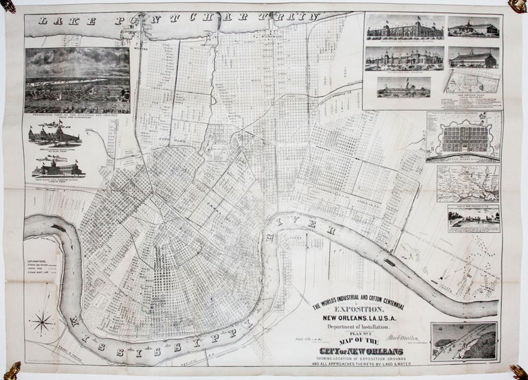
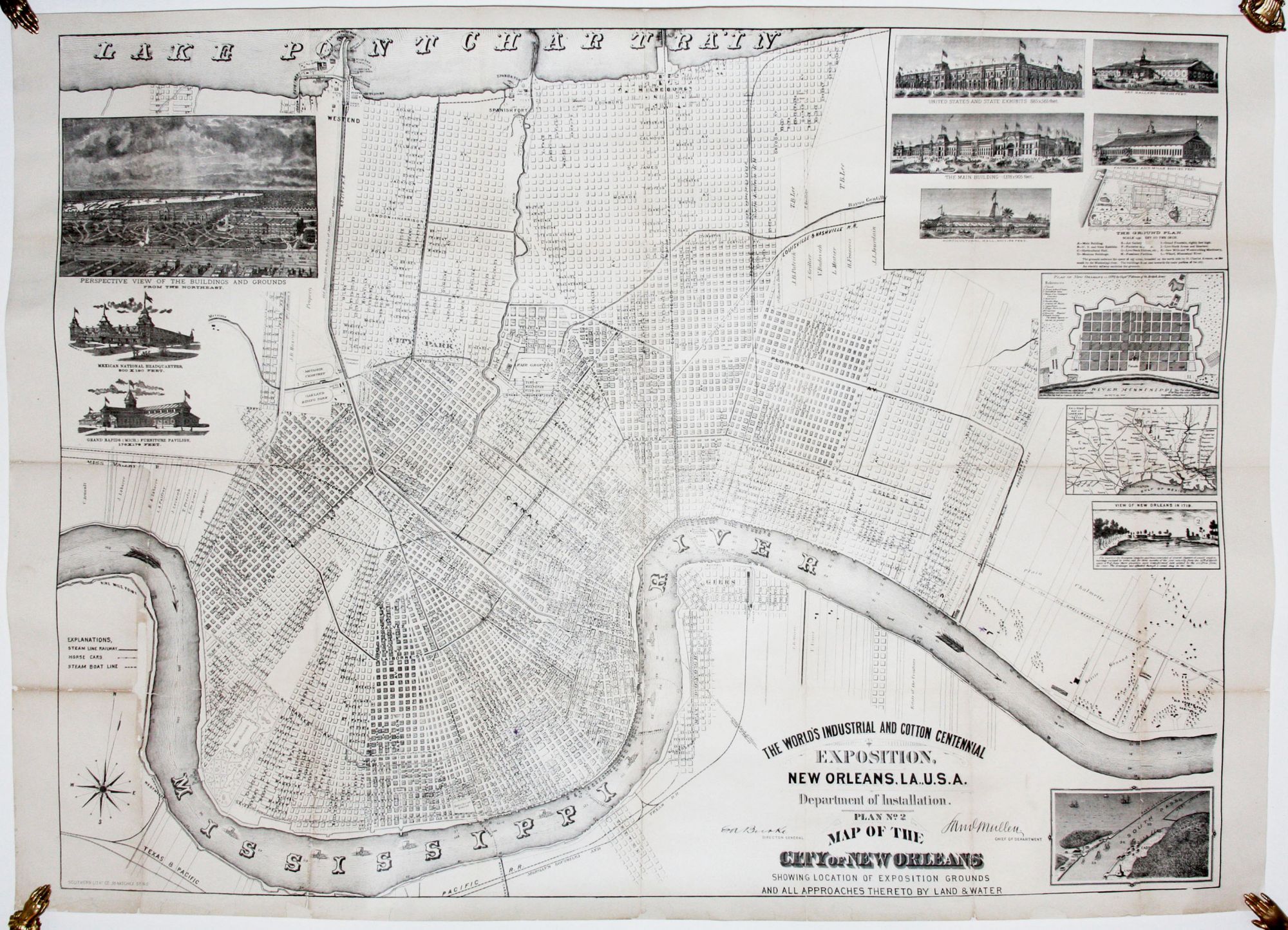
The World’s Industrial And Cotton Centennial Exposition, New Orleans, LA., U. S. A. Department of Installation. Plan No. 2 Map of the City of New Orleans.
26 5/8 x 36 ½ inches. Lithograph. Fold wear with some losses; flattened & mounted on acid-free paper; very good.
A large, visually rich plan of New Orleans made for visitors to the 1884-1885 World’s Industrial and Cotton Centennial Exhibition. Held to commemorate the 100th anniversary of the exportation of cotton from the United States, the exposition was one of the most ambitious world’s fairs ever held. Audubon Park in present-day New Orleans would develop on the exposition’s grounds. Although plagued by various problems, the fair did boast an array of impressive structures, including its main building, which was reputed to the world’s largest wooden structure at the time. This building and several others, along with a full view and plan of the exposition grounds, are illustrated here. There are also an inset plan of New Orleans as it was in 1770 and a 1719 view of the nascent city. The large plan of the city itself is extremely well detailed, providing not only up-to-date street names throughout the whole city but also the addresses of the structures on them.
Sold