
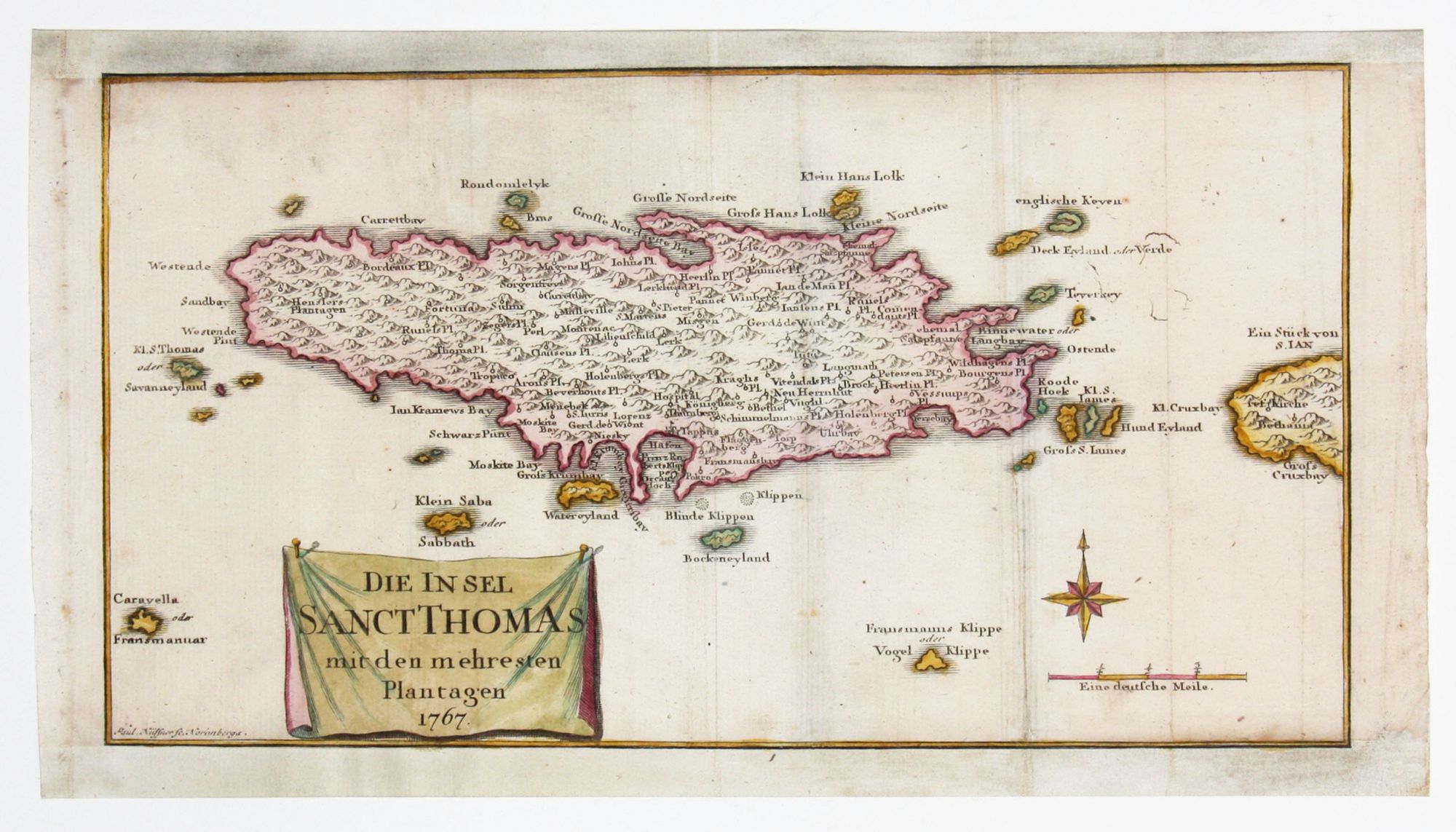
Saint Thomas.
[Nuremberg, 1767]
Die Insel Sanct Thomas mit den Plantagen 1767.
6 ¾ x 12 ½ inches, Fine hand color; bottom and top margins extended with very slight loss, very good condition.
One of the few obtainable maps of St. Thomas published prior to 1800. The attractively colored map names many plantations, many of the island’s bays as well as the smaller islands surrounding Saint Thomas including Lille Saba. The map appeared in Oldendorp’s “History of the Evangelical Brethren on the Caribbean Islands of St. Thomas, St. Croix and St. John,” the earliest history of the Virgin Islands.
Sold
See all items in
Antique Maps
See all items by P. KUFFNER