Atlante Generale dell Ab: Bartolommeo Borghi Corredato di Prospetti Istorici Politici Civili Naturali di ciascheduno Stato….
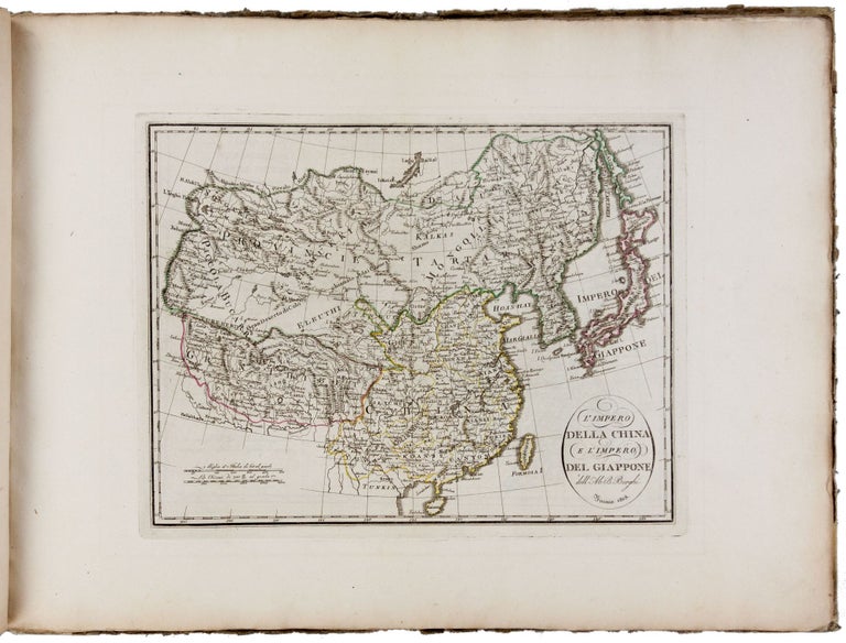
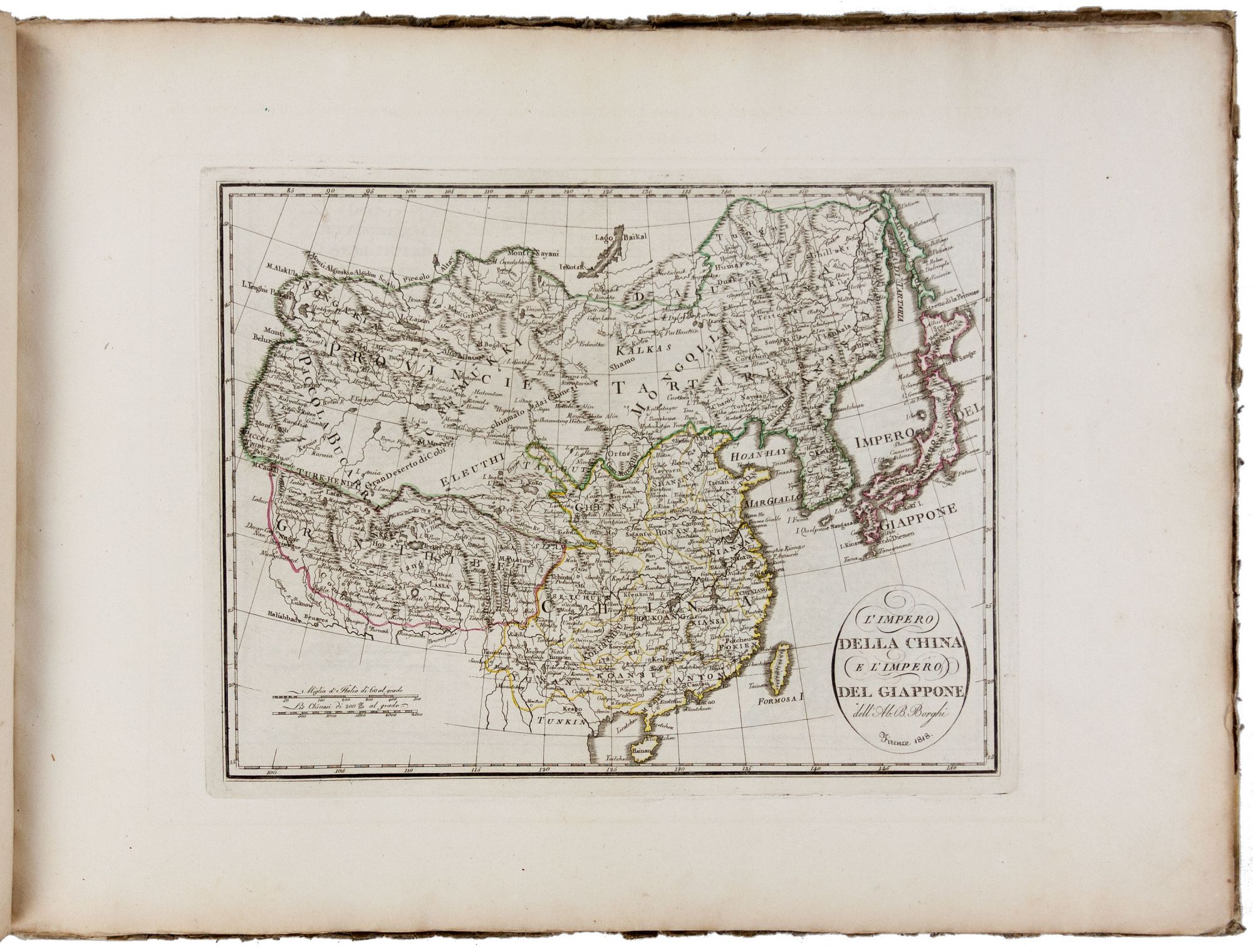
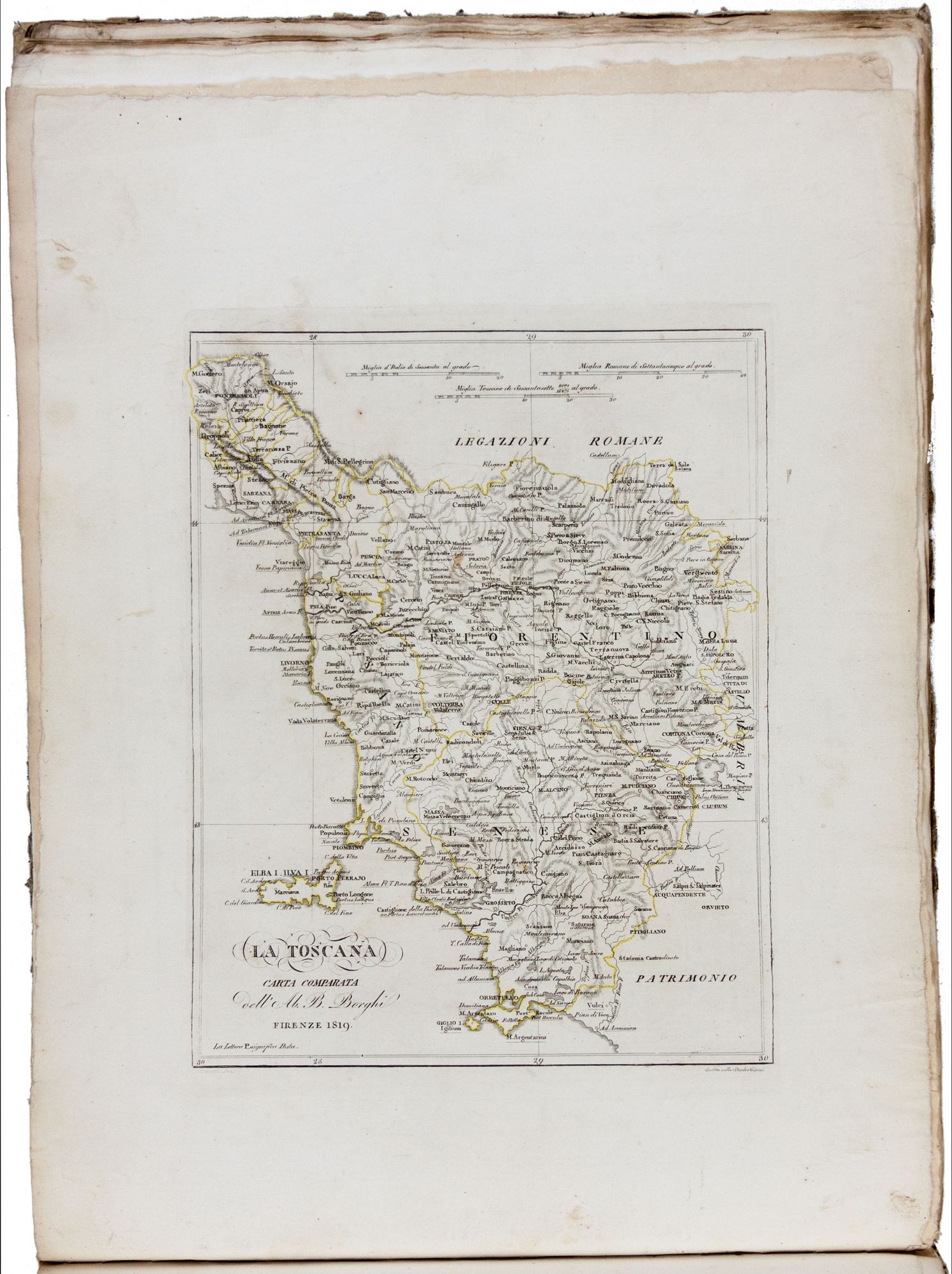
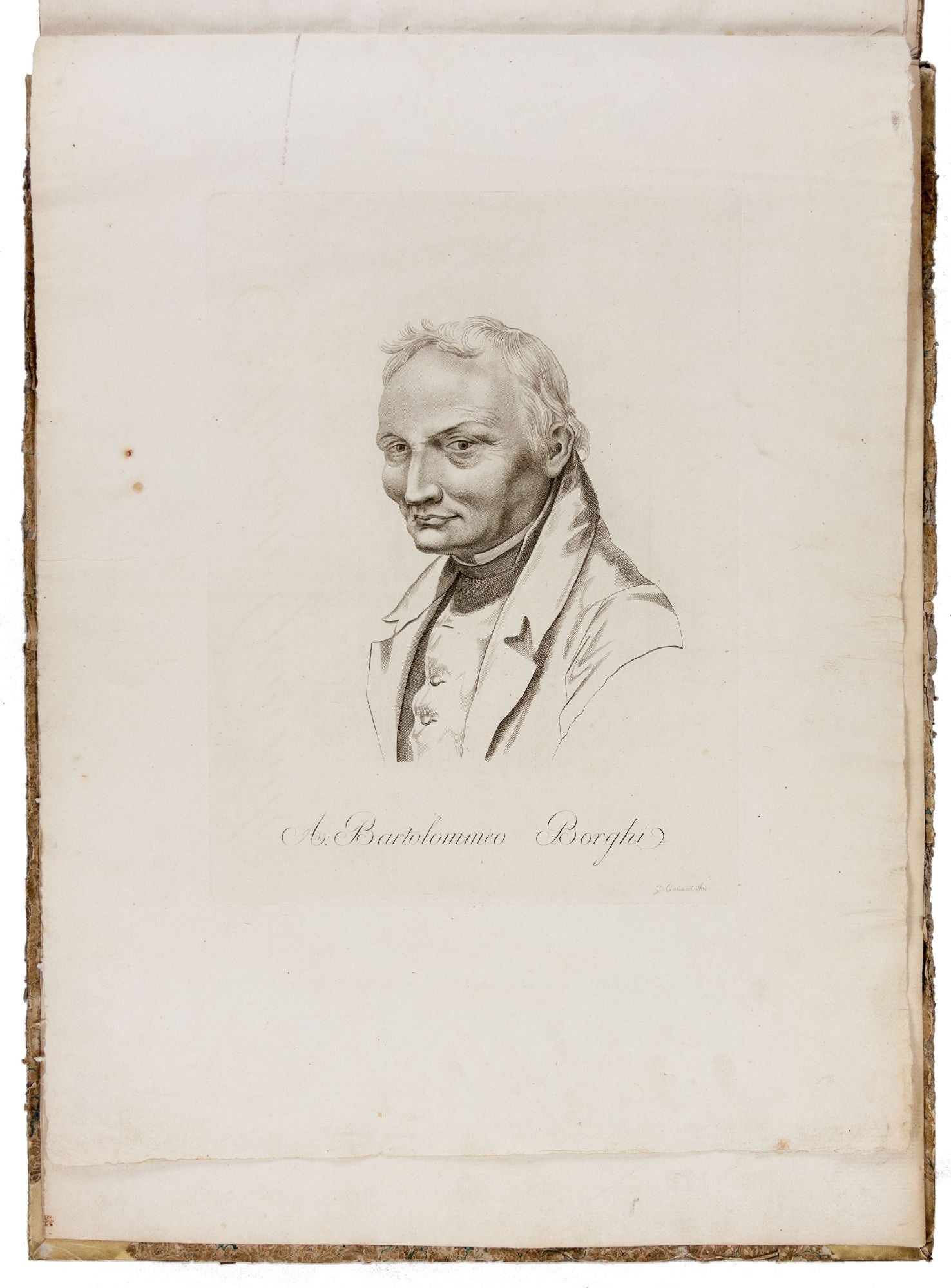
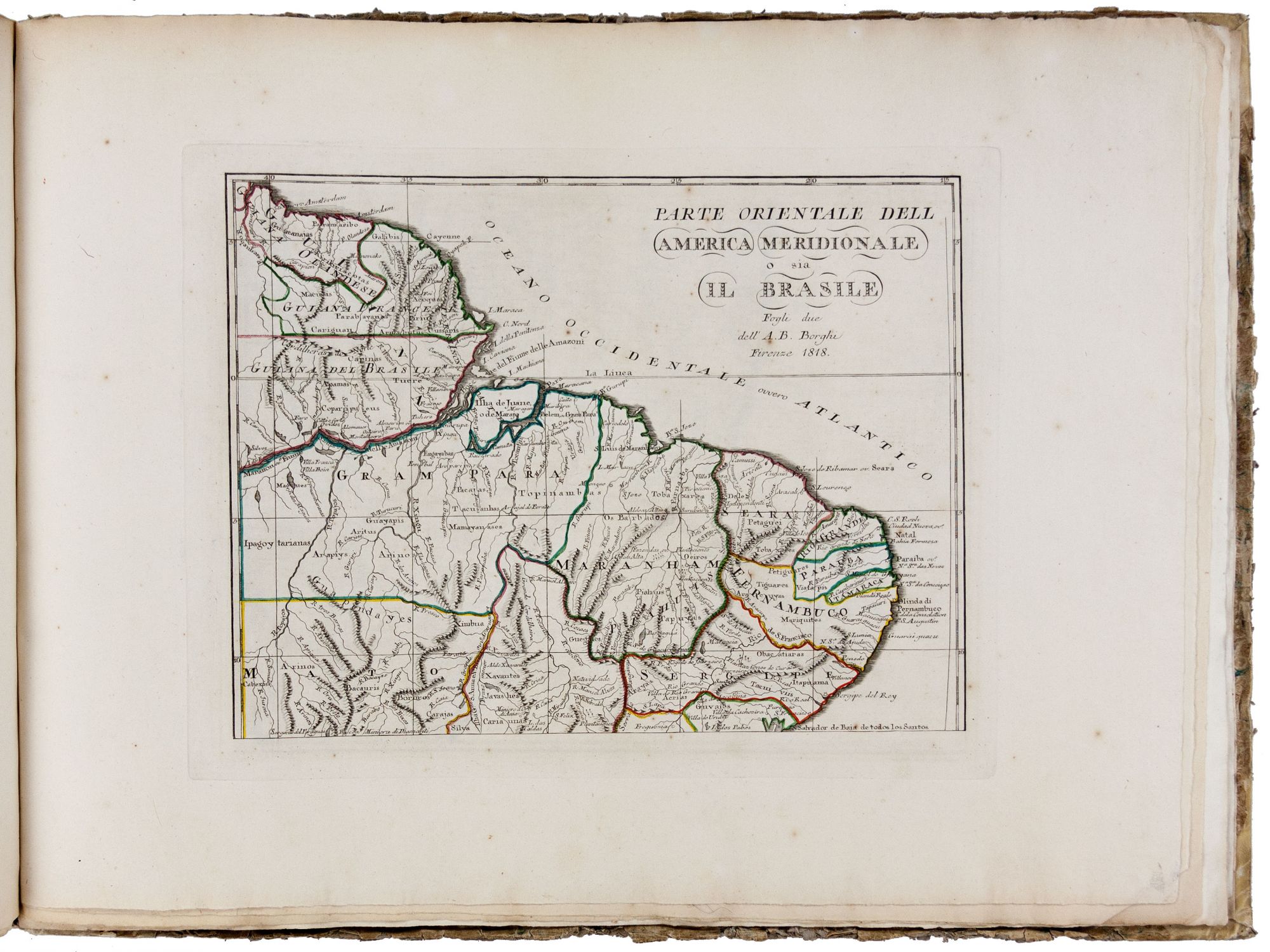
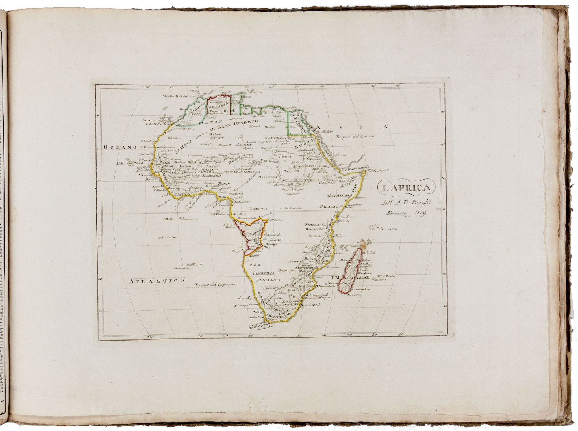
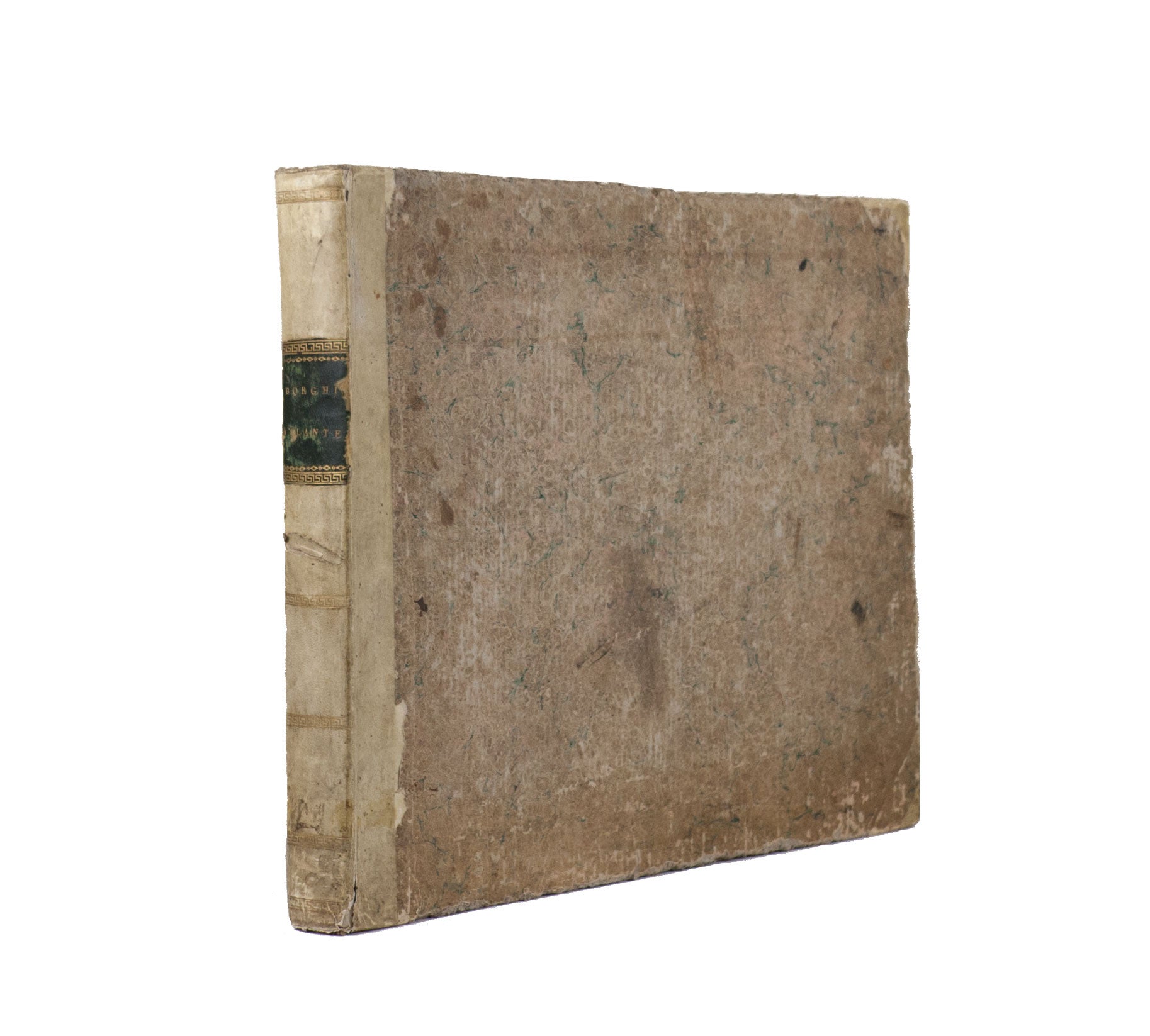
Oblong folio (36.8 x 49.2 cm). 175 leaves, all printed on verso except for title; with portrait of A. Bartolommeo Borghi engraved by G. Garacci, engraved title page, one leaf of “Indice e classazione,” 35 leaves of text (printed in three or four columns), and 137 leaves of engraved maps. Maps dated 1816-1819, some engraved by Ago. Costa, Studio Giarre, and Gius. Poggiali; text pages dated 1816-1819 and printed by Nella Stamperia Granducale, Niccolo Carli, Giovanni Marenigh and Guglielmo Piatti. All maps with original outline hand-color; a slight bit of occasional and insubstantial staining, but overall a very good and genuine copy with deckled edges. Contemporary marbled paper over boards, vellum backstrip and corners, black morocco label, edges worn, somewhat scuffed, joints tender. A superb, contemporary-bound, complete copy of a rare Italian atlas, nearly always found incomplete, and important for incorporating the new geo-political contours of Europe decided upon at the Congress of Vienna held at the end of the Napoleonic Wars. The library of the Senato della Repubblica only acquired a copy of the atlas in 2008, with the library’s web site describing it as “one of the rarest specimens complete” (see below for URL). Vladimiro Valerio described this work as “the most important Florentine atlas…[It] remained an unsurpassed model for many other lesser and larger works” (see reference below). The contents of the Atlante comprise the following: frontispiece portrait of Borghi, engraved title-page, and “Indice e Classazione…”; “Prospetto Cosmographico”, one leaf of text plus four maps; Europe, one leaf of text plus four maps; Sweden and Norway, two leaves of text plus four maps; Russian Empire, one leaf of text plus seven maps; Denmark, one leaf of text plus one map; British Empire, two leaves of text plus nine maps; Kingdom of Belgium, three maps (no text leaf); Germany, 13 maps (no text leaf); Austria and German Confederation, two leaves of text plus seven maps; Prussia, one leaf of text plus four maps; France, two leaves of text plus 16 maps; Spain, one leaf of text plus eight maps; Portugal, one leaf of text plus one map; Switzerland, one leaf of text plus one map; Italy, one leaf of text plus one map; Kingdom of Sardinia, one leaf of text plus three maps; Papal States, one leaf of text plus three maps; Kingdom of Naples, one leaf of text plus five maps; Turkey, one leaf of text plus six maps; Asia, one leaf of text plus one map; Russian Tartary/Siberia and independent Tartary, one leaf of text plus one map; China, one leaf of text plus four maps; Persia, one leaf of text plus one map; Hindustan, one leaf of text plus one map; Burma, one leaf of text plus one map; Arabia, one leaf of text plus one map; Africa, one leaf of text plus one map; Barbary coast, one leaf of text plus one map; Egypt and Abyssinia, one leaf of text plus three maps; North America, one leaf of text plus one map; United States, one leaf of text plus four maps, with one in four parts, i.e. seven maps total; South America, one leaf of text plus six maps; Oceania, one leaf of text plus one map; and “Geografia Antica”, with nine maps of ancient France, Spain, Italy, Sicily, etc. (no text leaf). Vermiglioli, in his biographical dictionary of Perugian writers, described Bartolomeo Borghi (1750-1821) as “one of the greatest geographers of Europe”. Early in his career, Borghi was involved in the production of several cartographic works, both his own and those of others, that were primarily of local Italian interest. The present atlas, however, is considered “his most important work” (see web reference below). OCLC records one complete copy at the Newberry Library, and a heavily incomplete one at yhe Library of Congress. * Not in Cremonini; Vladimiro Valerio, in Library of Congress, Images of the World, pp. 275-76; Vladimiro Valerio, “Italian atlases and their makers”, in The Map Collector, issue 45 (1988), pp. 11 & 14, atlas no. 25; Phillips 735; Tooley’s Dictionary of Mapmakers, A-D, p. 166; Senato della Repubblica, http://www.senato.it/index.htm.
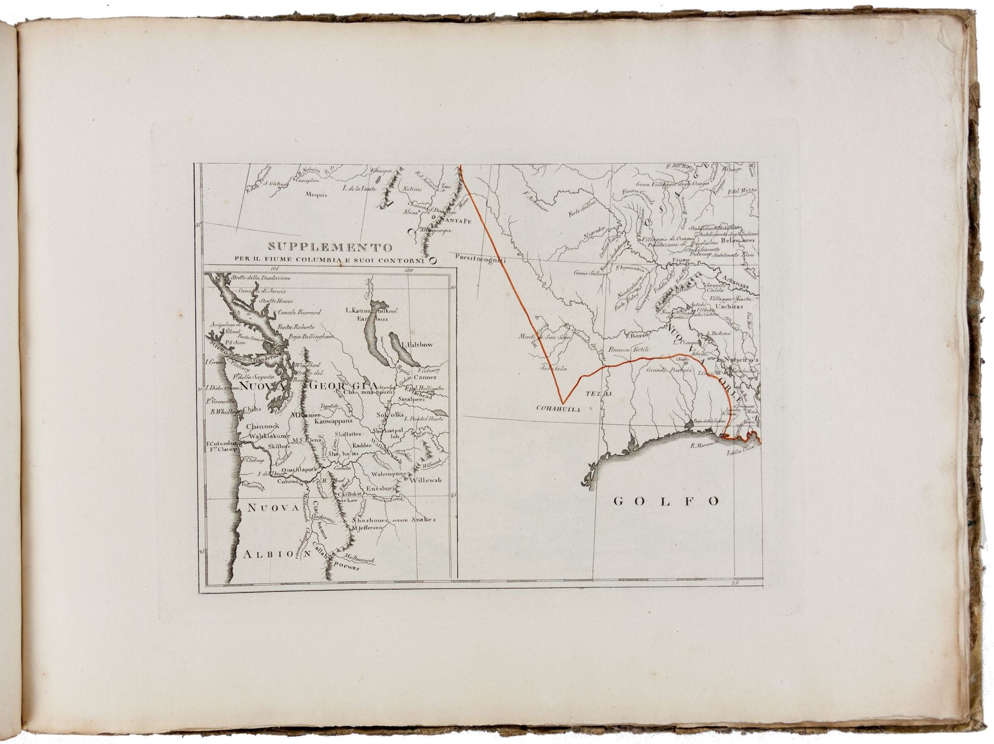
The atlas gives close attention to the mapping of North America and is quite up-to-date in this regard. In addition to a single-sheet map of North America, there is also a much more detailed four-sheet d.epiction of the continent. One of the sheets has surprisingly good details for the West, incorporating quite fully information from the expedition of Lewis and Clark. Another of the sheets has a well-detailed inset of the Northwest.
Regarding the rest of the world, the 12 maps of Italy and its various parts likewise reflect the new political order. Held between November 1814 and June 1815 and chaired by the Austrian statesman, C. W. von Metternich, the Congress sought to re-draw the map of Europe after the defeat of Napoleonic France in the previous year. The resulting political changes for Italy were many, among them being the re-establishment of traditional monarchies in the kingdoms of Sardinia, Sicily and Naples; the rule of the Hapsburg princes being re-established in the duchies of Tuscany and Modena; the restoration and extension of papal authority in the Papal States; and a number of other changes. Accompanying text in the atlas explains the geo-political changes made in Italy and elsewhere.
Sold