
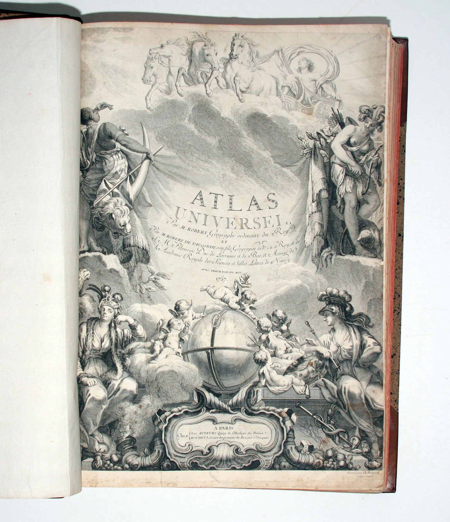
Atlas Universel Par M. Robert Geographe ordinaire du Roy, Par M. Robert De Vaugondy son fils Geographe ord. du Roy, . . . 1757 . . . A Paris Chez Les Auteurs Quay de l'Horloge du Palaia Boudet Libraire Imprimeur du Roi, rue St. Jacques.
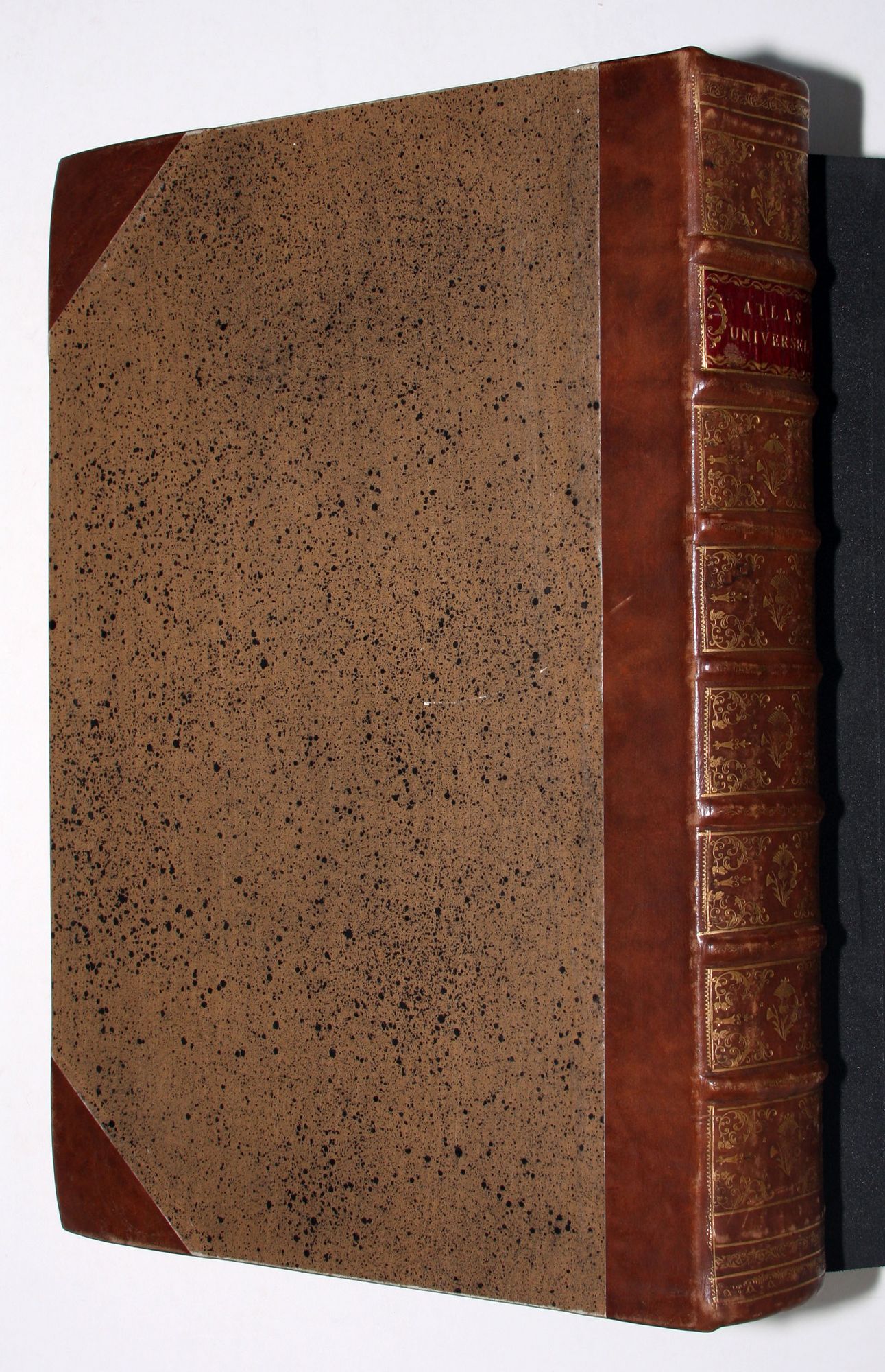
Folio, bound in later quarter calf with speckled paper over boards, gold-tooled on spine, preserving original red morocco label. Avertissement, 2-34 pp., 109 maps with original outline color; few toned or with minor repairs, otherwise fresh and bright; excellent overall.
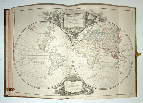
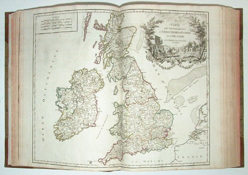
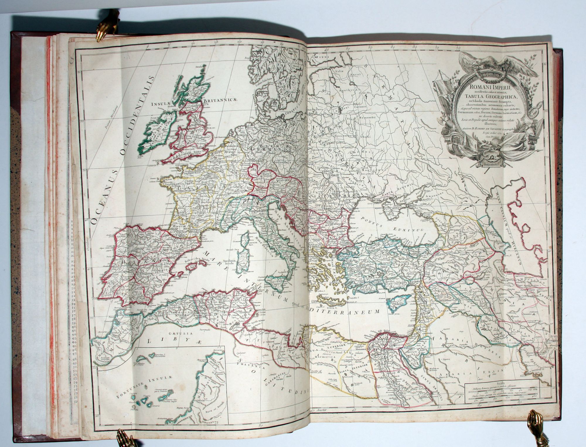
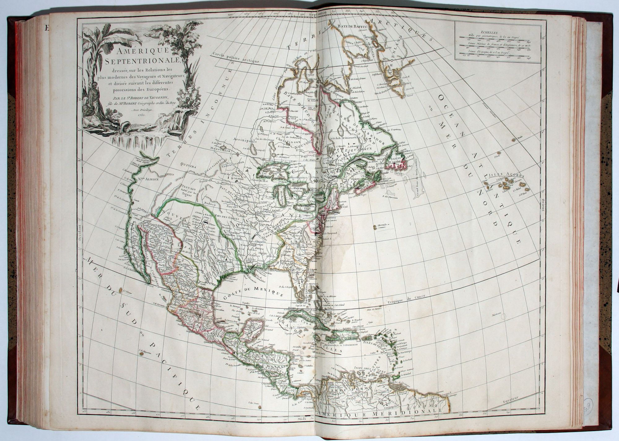
One of the most important 18th century atlases and one of the great achievements of the French Enlightenment. The Atlas Universel is the prime exemplar of the authors' geographic ideal-- bel et utile--beautiful and useful. "The corpus of their maps displays the finest of eighteenth-century French engraving on copperplate with fine linework and lettering and cleverly designed cartouches which often represent the areas portrayed on the map." (Pedley, p. 11) Although the title-page bears the 1757 date of the first edition, this copy must have been assembled somewhat later as one map is dated 1758.
The Vaugondys employed strict standards for including maps in this atlas and in many cases subjected them to astronomically derived readings for latitude and longitude. Moreover, "their frequent use of eighteenth-century sources, often from the 1740s, provided their atlas with up-to-date information. While their preference was for maps that had been surveyed in the field and maps published in the region itself, they did not hesitate to turn to older sources when more recent maps were found to be lacking." (Pedley, p. 61) For their maps of Canada and South America, the Vaugondys had access to sources held by the Depot de la Marine, the official French repository for maritime-related information. Like Ortelius and Mercator before them, the Vaugondys listed the sources of their maps, which is of incalculable benefit to anyone seeking to understand not only their maps but those of the period. Interestingly, a map -- that of S. Domingue and Martinique -- has been replaced with two maps treating those islands individually. These, dated 1725 and 1732 respectively, were produced by de l'Isle. They appear to have been bound in the atlas as issued.
"A feature of the maps of the Atlas Universel which attracted unanimous praise from critics was the cartouches." (Pedley, p. 64) A number of artisans worked on their design and engraving; several cartouches were engraved and signed by the Haussard sisters. Among the most pictorial cartouches are the four found on maps showing the postal routes of Great Britain, France, Germany, Spain and Portugal. They depict postal carriers en route in richly detailed settings.
Gilles and Didier Robert De Vaugondy were father and son, respectively, and produced this atlas and others in concert. In many cases they did not use the initials of their first names when signing their maps, so it can be unclear at times who made a given map. On some maps fils or filio follows the name, designating its author as the son. In other instances, the authorship can be determined by the distinctive way each signed his maps: the father normally used "M. Robert," leaving off the last name, and the son, "Robert de Vaugondy." (Pedley, p. 11).
* Pedley, Mary S. Bel Et Utile, The Works of the Robert De Vaugondy Family of Mapmakers; Phillips, Atlases 619; Catalogue of the National Maritime Museum, 266.
Sold