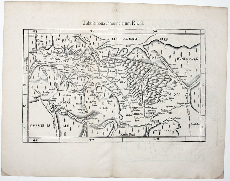
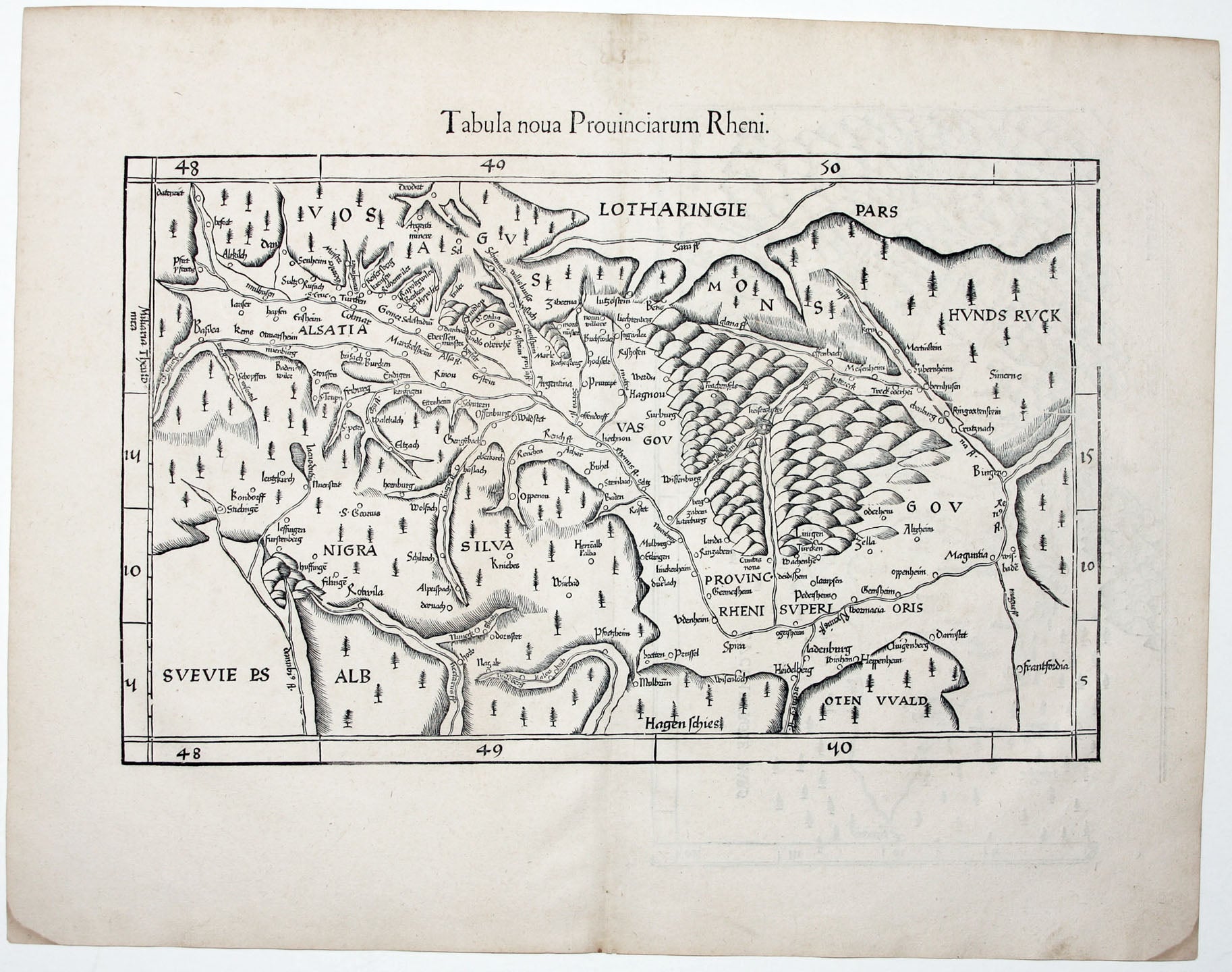
Tabula Nova Provinciarum Rheni.
11 ¾ x 16 ¾ inches. Excellent condition.
Very attractive, early woodcut map of southwestern Germany that richly evokes the Black Forest region and Rhine River valley along the German borders with France and Switzerland. It is one of the earliest maps of this region to be based on modern, that is to say non-Ptolemaic sources. It is derived from the work of Martin Waldseemuller, who lived and worked in this region and almost certainly performed the surveys himself.
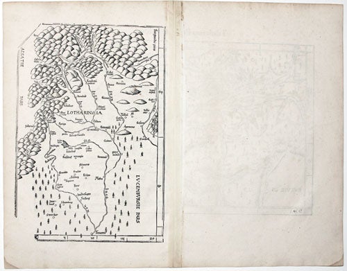
The west-oriented map extends from Basel in the south, to the border area between French Alsatia and southwest Germany demarcated by the Rhine in the north. Near the center of the map is Strasbourg (using its Latin name of Argentina). The map of Lorraine on the verso is also derived from Waldseemuller; The 1513 Ptolemy, in which it was originally published, gave this map pride-of-place in honor of Waldseemuller’s patron René II, Duke of Lorraine and King of Jerusalem.
Sold