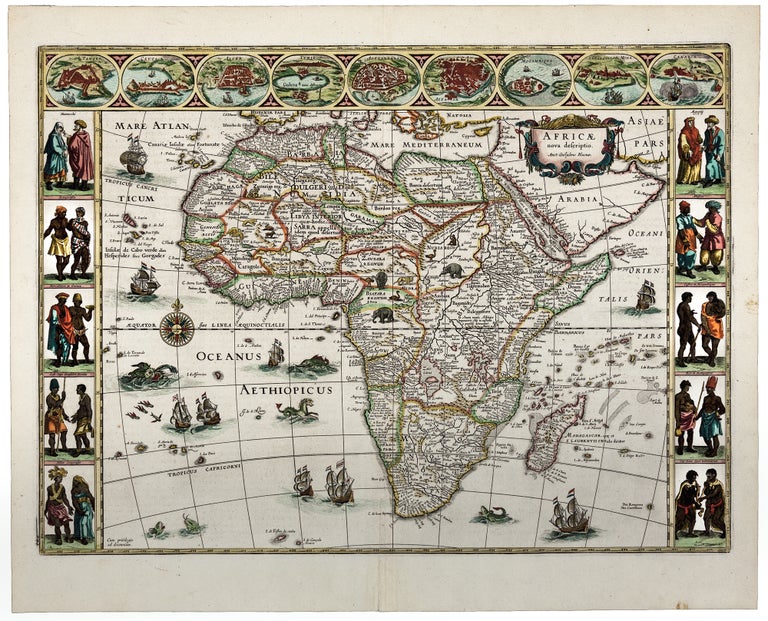
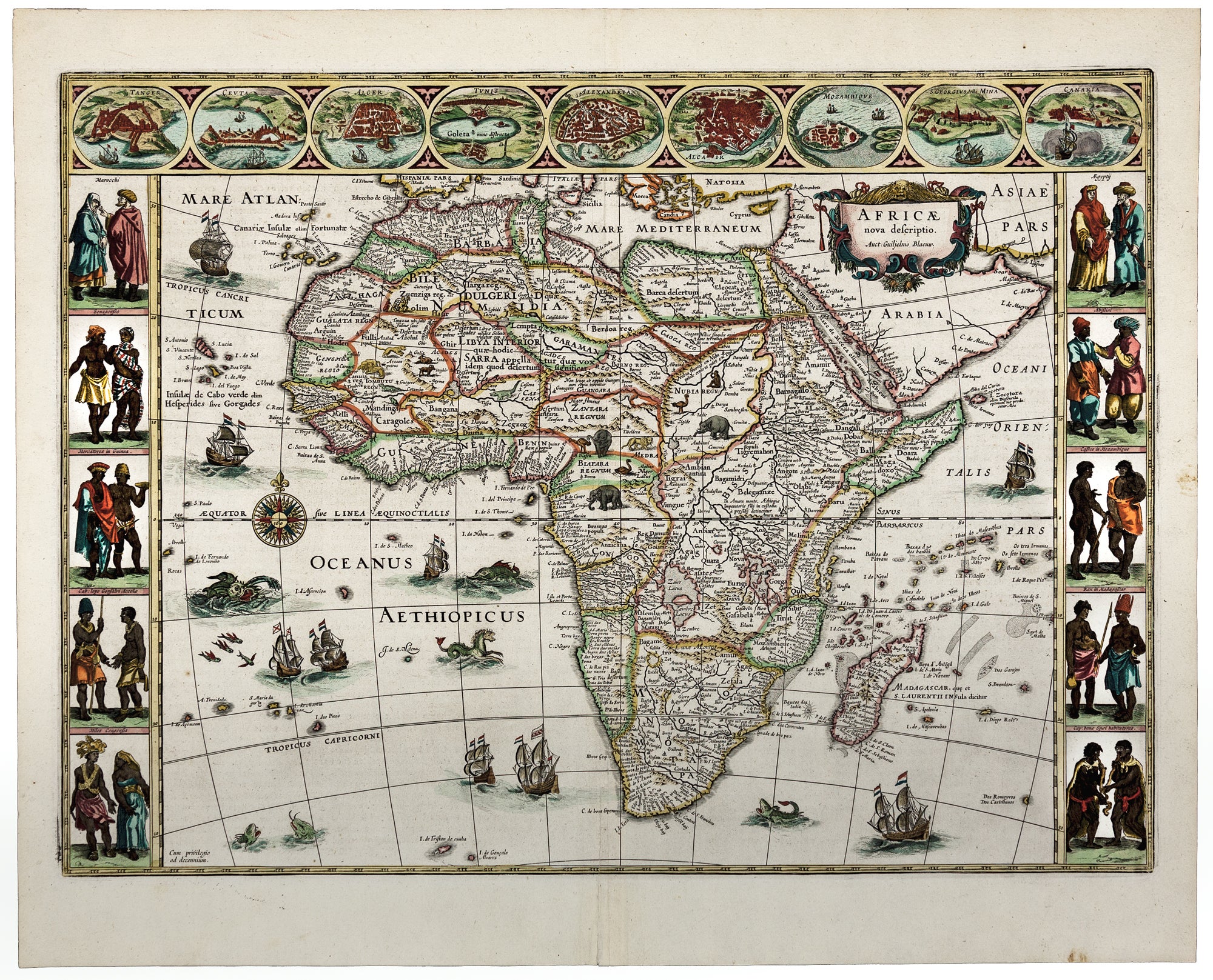
Africae nova descriptio.
Plate size 41 x 55.2 cm (16.1 x 21.7 inches); sheet size 48.4 x 59.7 cm (19 x 23.5 inches). Fine original color; fine condition.
A stunning, original-color example of "one of the most decorative and popular of all the early maps of Africa" (Norwich), notable for its decorative and artistic merit as well as its relative geographic accuracy. The shape of the continent is almost perfect, and the coastal cities and rivers are named in meticulous detail.
However, there are still many blank spaces on the map - which, as with earlier maps, are filled with elephants, ostriches, and camels. The empty spaces in the ocean are decorated with animals as well, but in this case, they are fanciful creatures such as flying fish and sea monsters. The top border panels consist of town and port views, primarily of North African ports (including Cairo, Alexandria, Tunis, Alger, and Ceuta) but including others, such as Mozambique. To the left and right of the map there are five compartments illustrating African people in traditional dress, including Moroccans, Senegalese, “Merchants in Guinea,” “Congolese Soldiers” and others.
Blaeu’s richly decorative and highly informative Africae nova descriptio stands as one of the signature maps of the leading cartographic publisher of the Dutch Golden Age.
*Betz, 57.3; van der Krogt 8600:2; Norwich, Map 32.
Price: $4,500.00