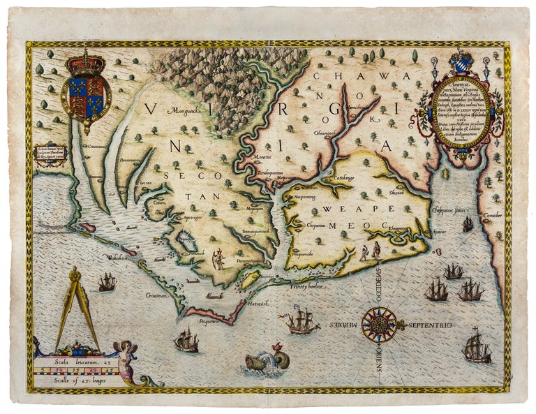
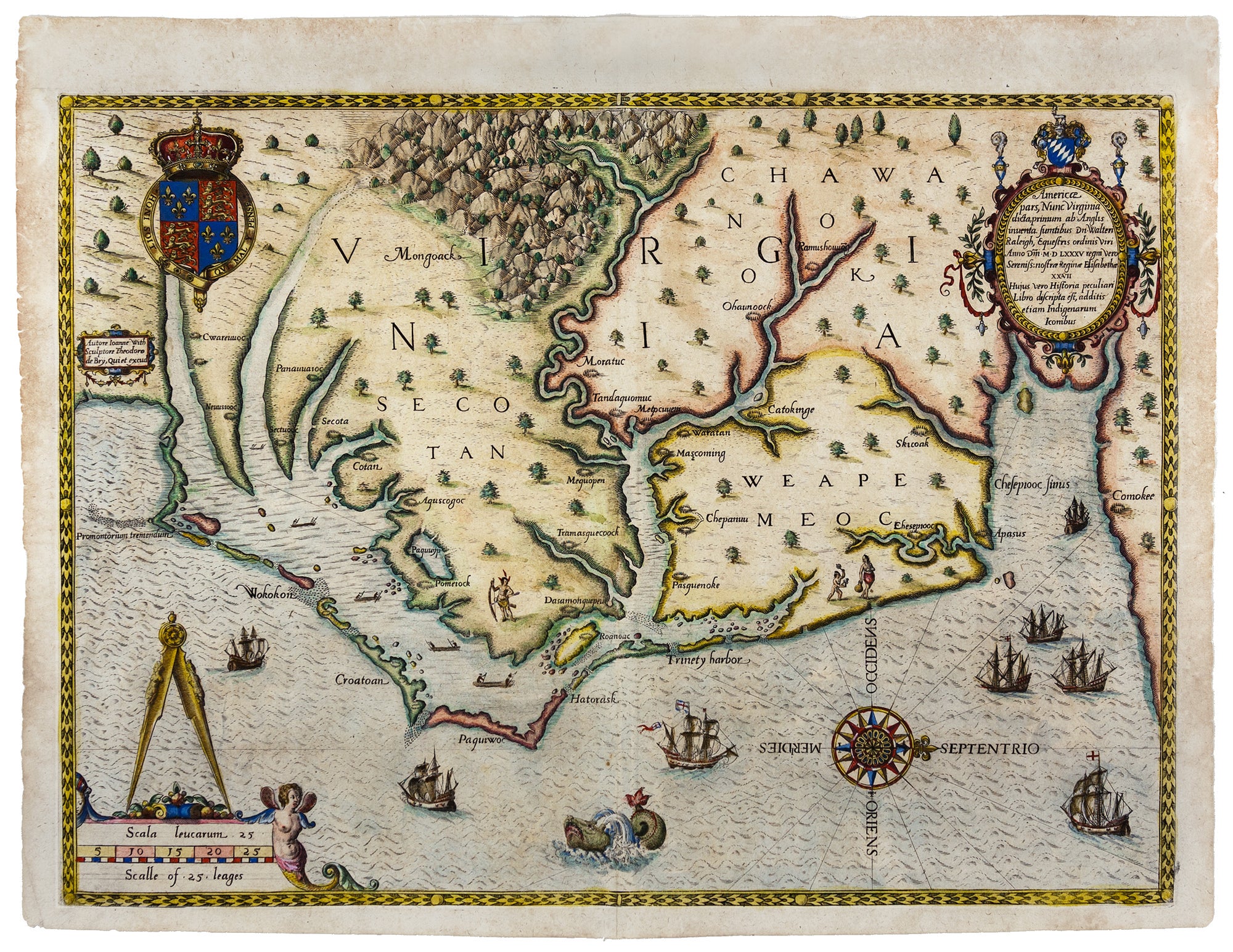
Americae pars, Nunc Virginia dicta, . .
12 x 16½ inches. Strong impression, colored, some marginal browning but would frame up nicely; a fine unrestored example. A fine example of one of the first regional maps of a part of what is now the United States in the second state (Burden 76, state 2). Not only was this the first map to emerge directly from England’s first attempt to colonize North America—the failed Roanoke settlement—but it was also the first map of a part of North America produced by an actual colonist. The White-De Bry map is also recognized as the earliest collectible map of North Carolina and Virginia, and also the earliest to both show and to name the Chesapeake Bay. The map’s influence can be seen in virtually every regional and general map encompassing the area to appear through the latter part of the 17th century. Quinn described the map as the "most careful detailed piece of cartography for any part of North America to be made in the sixteenth century." The map was directly based on a manuscript by John White, from 1587 the governor of the ill-fated Roanoke colony in North Carolina, which was the first English attempt to colonize North America. Roanoke Island and several Indian villages are identified on the map, and ‘Croatoan,’ the word left inscribed on a tree by the lost colonists, appears alongside one of the Outer Banks islands. The map covers from present day Cape Lookout to just north of the Chesapeake Bay. This range of coverage suggests that the Roanoke settlers were more enterprising in the exploration of the surrounding area than has been believed. John White (fl. 1585-1598), an artist, arrived in the New World in 1585, and he along with Thomas Harriot mapped the area. White also produced several fine watercolors of the various customs of the native peoples and of the area’s flora and fauna. These as well as his map survive in the British Library. White made, in all, three trips to North Carolina; however, on his final voyage made in 1590, after having been delayed in London for three years due to restrictions imposed by war, he found no survivors at the settlement nor any clear indication of their fate. It was on White’s return to London between 1587 and 1590 that he encountered the German engraver and publisher, Theodore De Bry, who acquired his map and drawings for publication in engraved form under the title of Admiranda narratio fida tamen, de Commodis et Incoarum Ritibus virginiae, along with Harriot’s description of the area. The White-De Bry map is a masterwork of engraving. Its numerous pictorial elements include English ships outside the Outer Banks and at the entrance of Chesapeake Bay, Indian canoes around the Albemarle and Pamlico sounds, Indian figures, the royal arms of England, a navigational compass, sea monster, wind rose, and trees of various kinds. *Burden 76, state 2; Stephenson/ McKee, Virginia in Maps, Map I-2; On the Map Fig. 3; The Mapping of Maryland, #1; Quinn, Roanoke Voyages, pp. 847-8; Cumming, Southeast, pp. 3, 122-23; Fite and Freeman, A Book of Old Maps, 93-5; M. Alexander, ed., Discovering the New World, pp. 7-10; The New York Times, Science Times, August 11, 2015: Emery, T. “Lost, and Found? Archaeological finds may hint at the fate of colonists who disappeared in the 1500s,” pp. D1 & D6.
Price: $19,000.00