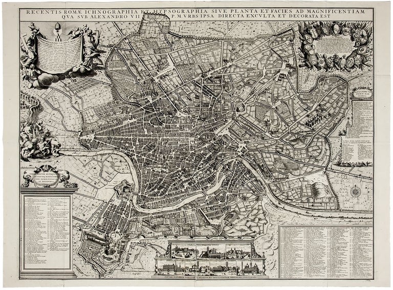
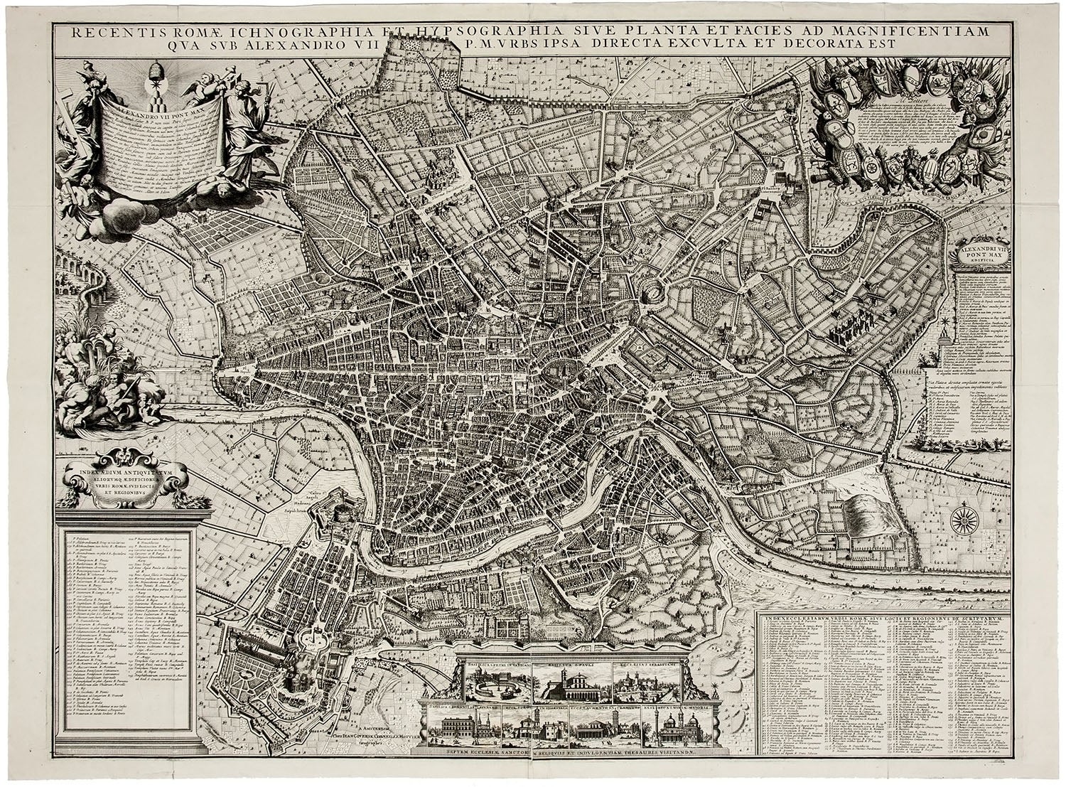
Recentis Romae ichnographia et hypsographia sive planta et facies ad magnificentiam qua sub Alexandro VII. P.M. urbs ipsa directa, exculta et decorata est.
2-sheet etching/engraving [26 1/8 x 34 1/4 inches the platemark]. A fine copy, with a few soft folds, crisp and bright. A fresh and bright example of this rare separately issued version of Giovanni Battista Falda’s (1643-78) important 1667 two-sheet plan of Rome (called the pianta piccola), republished during the first half of the 18th century by the Amsterdam publishers Johannes Covens (1697-1774) and Cornelis Mortier (1699-1783). “Falda’s pianta piccola was an instant success: One of the most frequently and enduringly copied maps of the early modern period” (Maier, p. 196), it served as the model for his famed 12-sheet pianta grande (Nuova pianta et alzata della città di Roma) of 1676. Falda’s design was “widely acclaimed as the most complete and accurate visual record of baroque Rome” (Maier, p. 165). His 12-sheet map “appeared in five editions over a period of eighty years, its celebrity eclipsed only by the appearance of Giovanni Battista Nolli’s great plan in 1748. The original 1667 pianta piccola was indebted to the German etcher Greuter and celebrated the urban interventions of Pope Alexander VII (r. 1655-77). An index along the right side details the pope’s many projects, visible in the fabric of the city, and personifications at the upper left convey the message that under the Chigi pope, Religion had conquered Heresy and Architecture has defeated Time” (McPhee, pp. 8, 10). Inset at the left of this 1667 pianta piccola are personifications of Rome’s water sources, and inset at the bottom are views of the Sette Chiese, Rome’s principal pilgrimage churches. Covens & Mortier preserve at the upper right the original publisher De Rossi’s original address to the readers, which is surrounded by shields of the 14 districts (rioni) of Rome. The key includes 254 ancient and modern features of the city. Falda’s original copperplates for the 1667 two-sheet pianta piccola were reworked and reprinted over several decades to incorporate new building projects in Rome. Later states note that the plates were updated to reflect changes to the urban fabric through the year 1730 and then 1754, and these keys were accordingly expanded to include 266 and then 286 numbered places. The present Covens & Mortier version seems to have been published before the 1730 update, given that it is a faithful copy of the 1667 print (the key has the original 254 place names). The Covens & Mortier version differs from the 1667 pianta piccola only in that it omits the names of Falda and De Rossi beneath the title. “Falda, from the remote Piemontese village of Valduggia, came to Rome as an adolescent in the mid-1650s. There he became the protégé of Giovanni Giacomo de Rossi, who discovered Falda when he was one of many apprentices in Bernini’s workshop. De Rossi took the young man under his wing, seeing to his training in architectural rendering and perspective, as well as in etching and engraving. Under De Rossi’s guidance, Falda became one of the most skilled designers and printmakers of architectural views in late seventeenth-century Rome” (Maier, p. 195). Covens and Mortier began their collaboration as (principally) cartographic publishers in Amsterdam in 1721, issuing re-editions of surviving copperplates, newly cut maps based on well-known examples, and original material. The firm survived into the 1880s. OCLC locates just one U.S. example of the Covens & Mortier Falda plan of Rome (Newberry Library). * Hülsen, Saggio, p. 92, no. 120; S. McPhee, “Falda’s Map as a Work of Art,” The Art Bulletin, vol. 101, no. 2 (2019), pp. 7-28; BNF, Cartes et plans GE DD-2987; J. Maier, Rome Measured and Imagined: Early Modern Maps of the Eternal City.
Price: $3,500.00