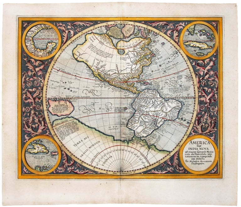
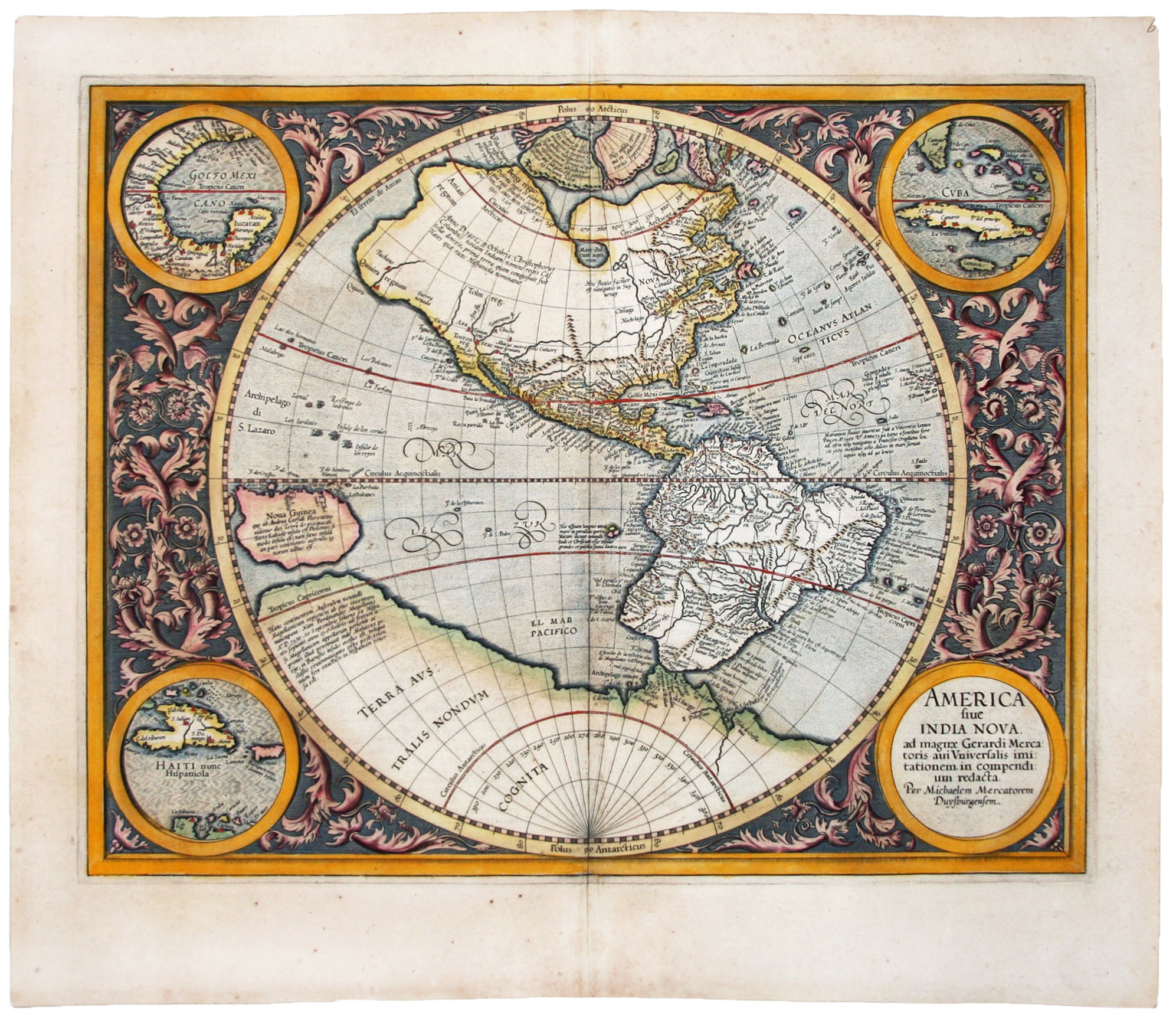
America sive India Nova.
14 1/2 x 18 inches, Fine original color; a few marginal mends and light staining away from image, else excellent condition. Gerardus Mercator (1512-94) was a Flemish mapmaker and geographer who is best known for inventing the map projection which bears his name. He was one of the pioneers of modern cartography and is widely considered the most notable figure of the Netherlandish School of mapmaking in its golden age (c. 1570s-1670s). In his own day, he was notable as maker of globes and scientific instruments.
One of the most visually distinctive, early maps of the Western Hemisphere. Its cartography was the work of Gerard Mercator, "the greatest name in geographical science after Ptolemy" (Tooley), but the map’s design and execution were the work of the elder’s grandson, Michael, shortly after Gerard’s death in 1594. The map’s format is both unusual and elegant: the map is set within a circle surrounded by a design of interlocking acanthus leaves and cornucopias. There are roundels in the four corners, with three of them containing maps--of the Gulf of Mexico, Cuba, and of Hispaniola.
An interesting detail on the map is what is most likely the Hudson River in the area here called ‘Norombega’. By the end of the 16th Century, the river and the great harbor at its mouth that had been discovered by Verrazano in 1524 had all but vanished from maps. Its depiction here suggests Mercator's independent-minded acceptance of Verrazano's discoveries.
Also of interest is the large, interior lake in North America called "Mare dulcum aquarum," which could be based on an Indian report of one of the Great Lakes. However, since it is well north of the Great Lakes, it could also represent James Bay or Lake Winnipeg. The map was extrapolated from Mercator's landmark world map of 1569 by his grandson, Michael, for inclusion in the senior Mercator's atlas of 1595.
* Burden 87; Goss, J. Mapping of North America #19.
Price: $7,500.00