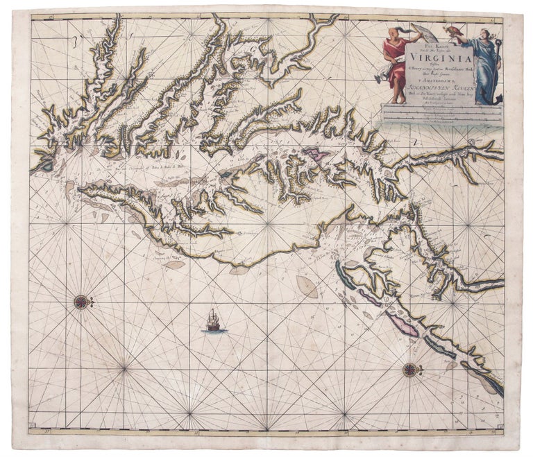
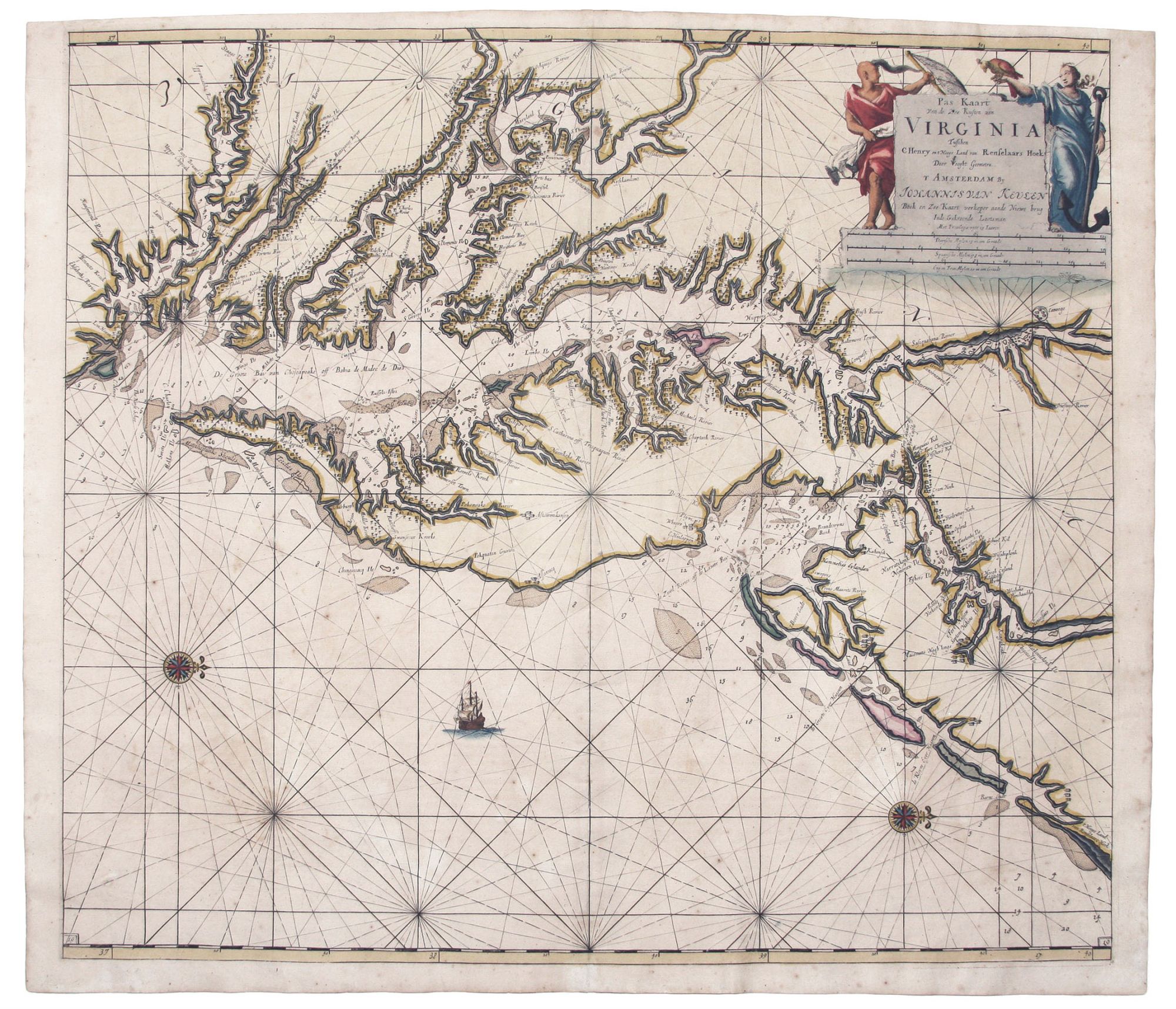
Pas Kaart van de Zee Kusten van Virginia.
Plate size: 52 x 58.4 cm (20.4 x 30 inches); sheet size 53.1 x 61.2 cm (20.9 x 20 inches). Superb original color; fine condition on heavy, double-ply paper. A superb example of this striking, large-scale chart of the Chesapeake Bay, the lower waterways of Virginia, and Delaware Bay. It was one of the first charts to fully utilize the pivotal Augustine Hermann map of 1673, even using Hermann’s symbols for the plantations along the Bay and various rivers. The chart reflects the reliance of continental map publishers on English maps for the depiction of the Virginia-Maryland area at this time. In turn, this chart would be followed by other Dutch chartmakers, such as Robijn and Lootsman, well into the 18th century. The Van Keulen firm was a leading supplier of charts, instruments, and maritime related books of uncommon longevity. It remained a family controlled business until 1823 and then continued to operate under another owner until 1885. Burden 588 state 3; Koeman [134]; Papenfuse & Coale, Atlas of Historical Maps of Maryland, p. 25; cf. On the Map, fig. 22.
Price: $7,500.00