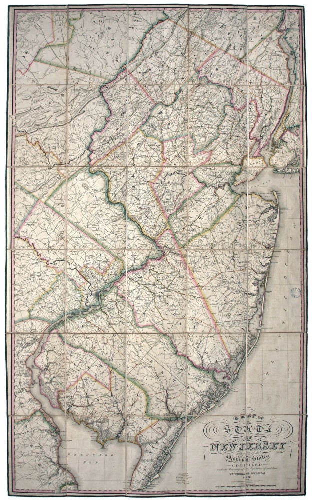
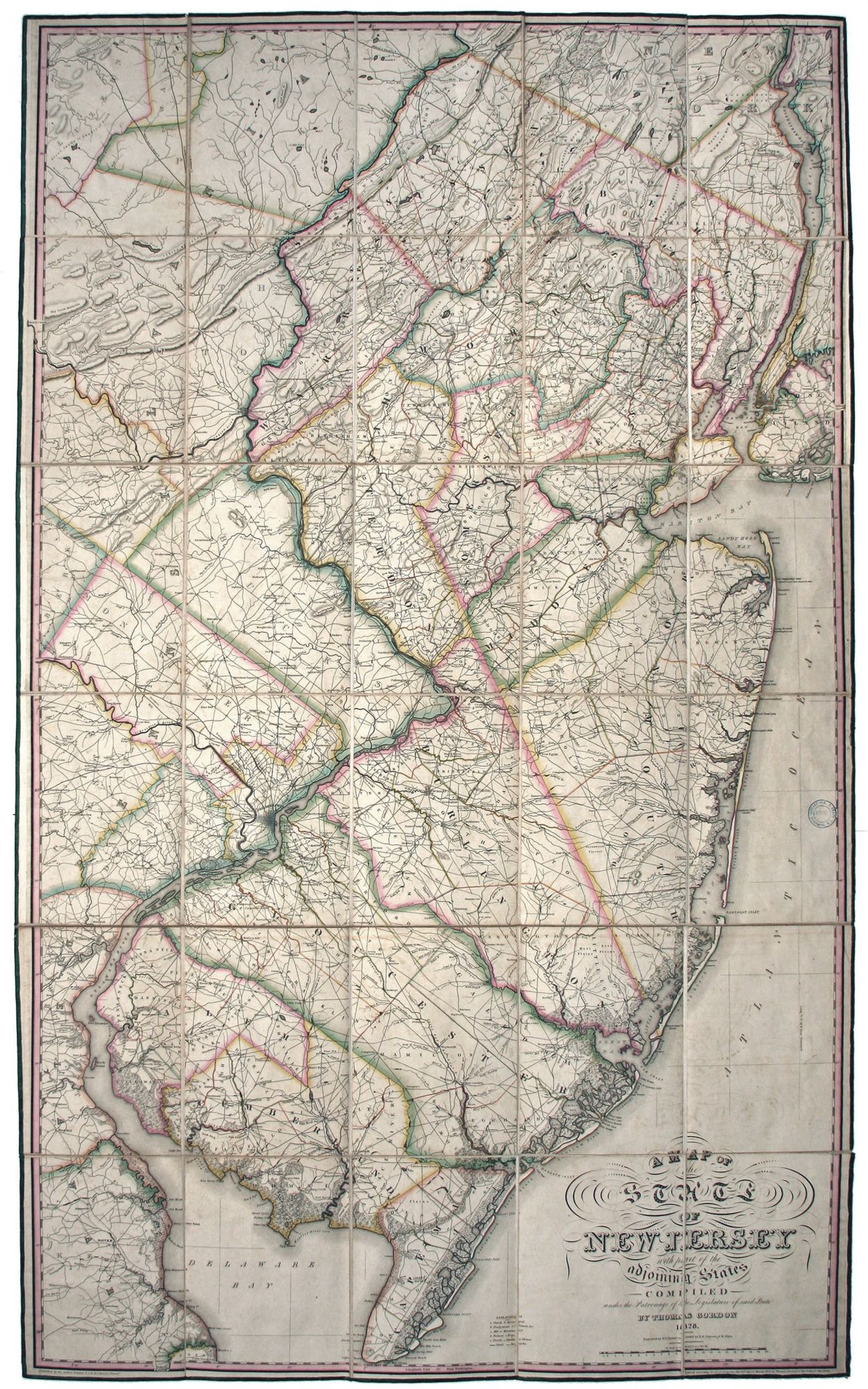
A Map of the State of New Jersey with part of the Adjoining States.
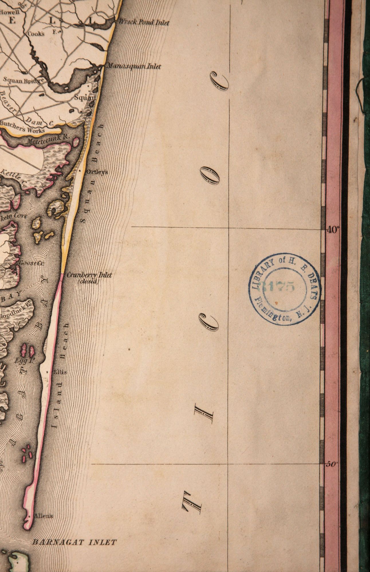
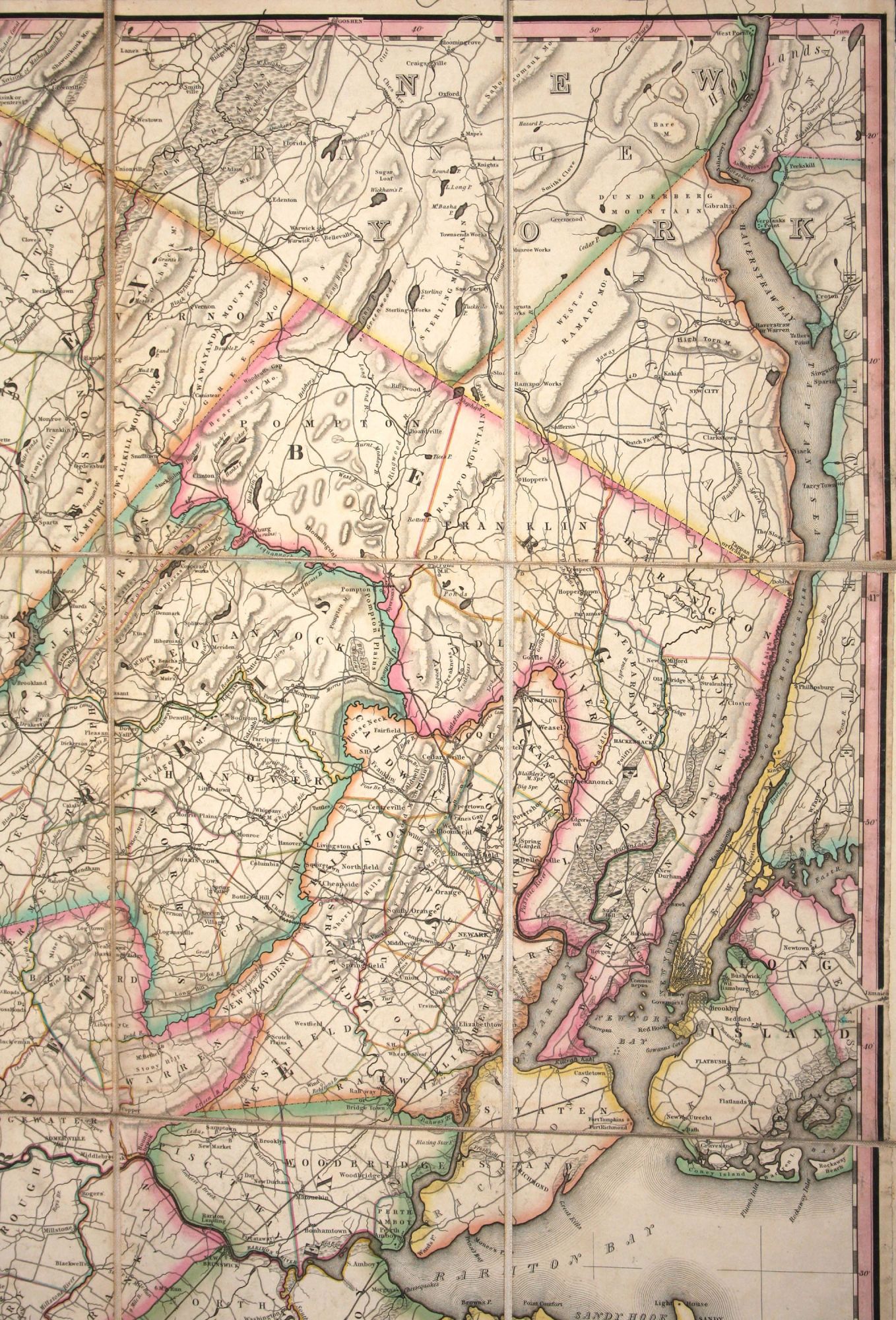
32 ½ x 55 ¼ inches. Fine original wash color; dissected & mounted on linen as originally issued, with original folding case. A superb example in the first edition of New Jersey’s first official map, with a distinguished provenance (see below). With this work, “New Jersey mapping had achieved a new high” (Snyder). Rumsey calls the Gordon the “cornerstone map of New Jersey…by far the most accurate map to date.” Scrupulously revised over its period of publication, “the Gordon map stood out as the one authority for thirty years” (Snyder). This beautiful work was engraved by Henry S. Tanner of Philadelphia, one the finest American engravers working at the time. Although the New Jersey legislature recognized the need for a new map of the state as far back as 1799, action was not taken until 1822 when Thomas Gordon was commissioned to survey the state. Working carefully and thoroughly, it required Gordon six years to produce this map. The New Jersey Legislature purchased 125 copies of the map and soon after authorized a second edition and purchased another 125 copies when it was re-published in 1833. While it is not known how many copies of the map were sold to private customers, the above extremely low publication numbers help explain the scarcity of the map today. Gordon's map is very precise: errors in position are of no more than three-quarters of a mile, which is remarkable accuracy for its period. It was drawn at a scale of three miles to the inch and hence is extremely detailed. Places of worship as well as of industry – blast furnaces and forges, mills and glassworks – are marked. Taverns and even individual dwellings appear on the map. Towns, cities, roads, and turnpikes are carefully laid down. Townships are highlighted in wash coloring. On the map is one of the nation's earliest commercial railroads--the Philadelphia and Columbia--which was chartered the year the map was published though not completed until 1834 and thus not named on the map. Since the map appeared at so early a point in the development of the railroad, numerous canals and of course roads dominate the state's transportation network, a situation that would change dramatically in a matter of a few years. This example of the map was once in the library of the distinguished late 19th and early 20th century antiquarian and collector, H. E. Deats, of Flemington, New Jersey.
* Snyder, J. P. Mapping of New Jersey, pp. 94-99; Rumsey 2273.
Price: $8,850.00