
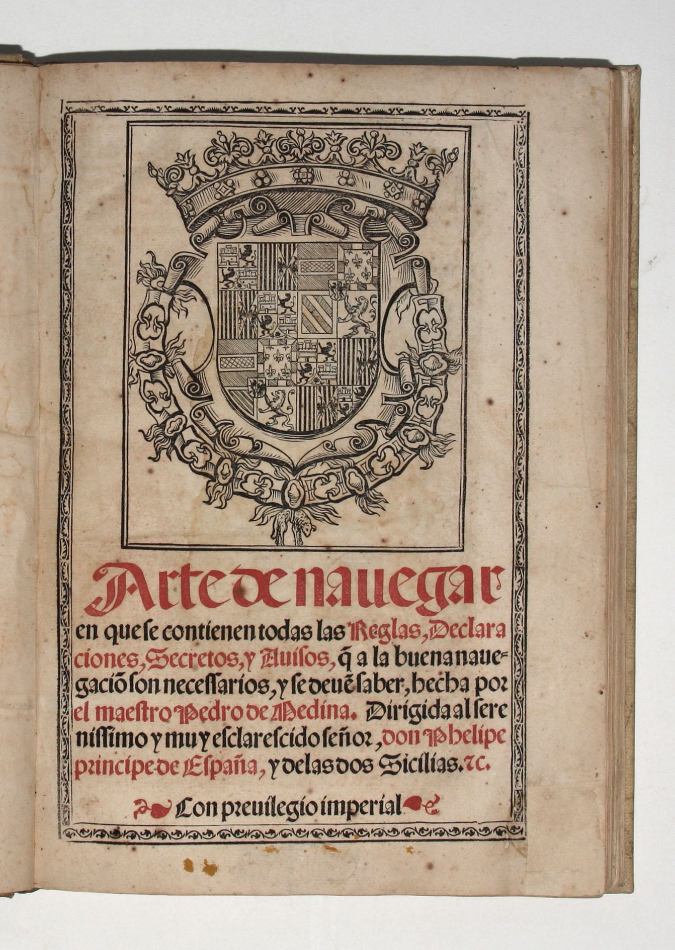
Arte de navegar, en que se contienen todas las reglas, declaraciones, secretos, y avisos, q(ue) a la buena navegacio(n) son necessarios….
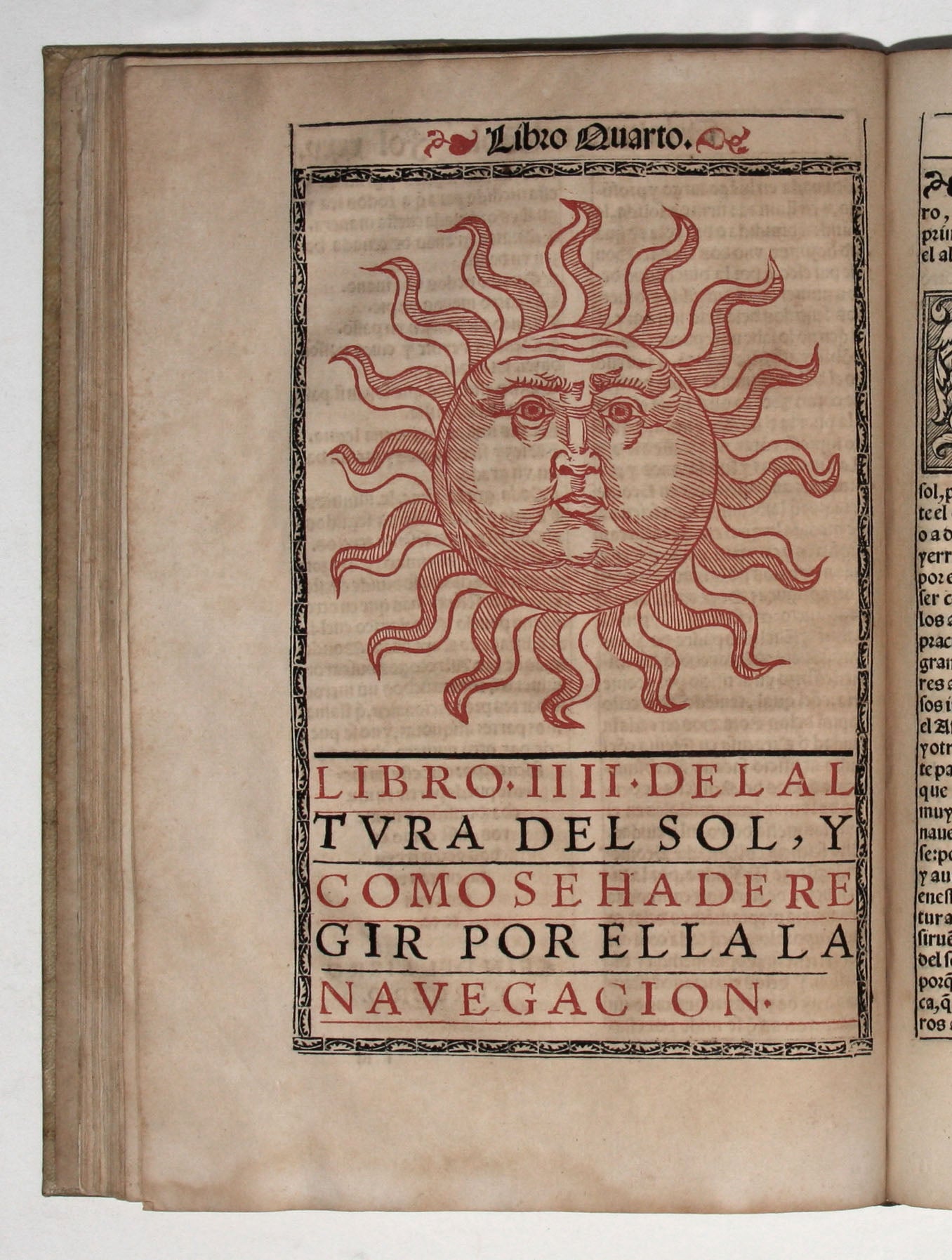
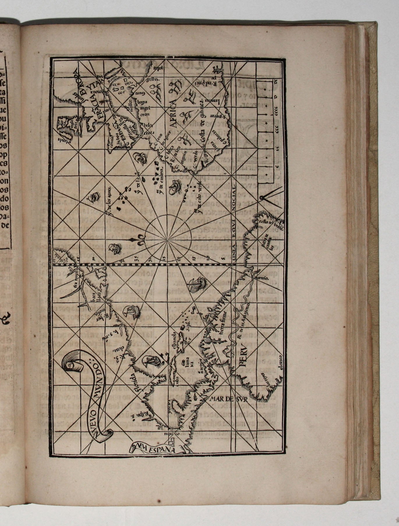
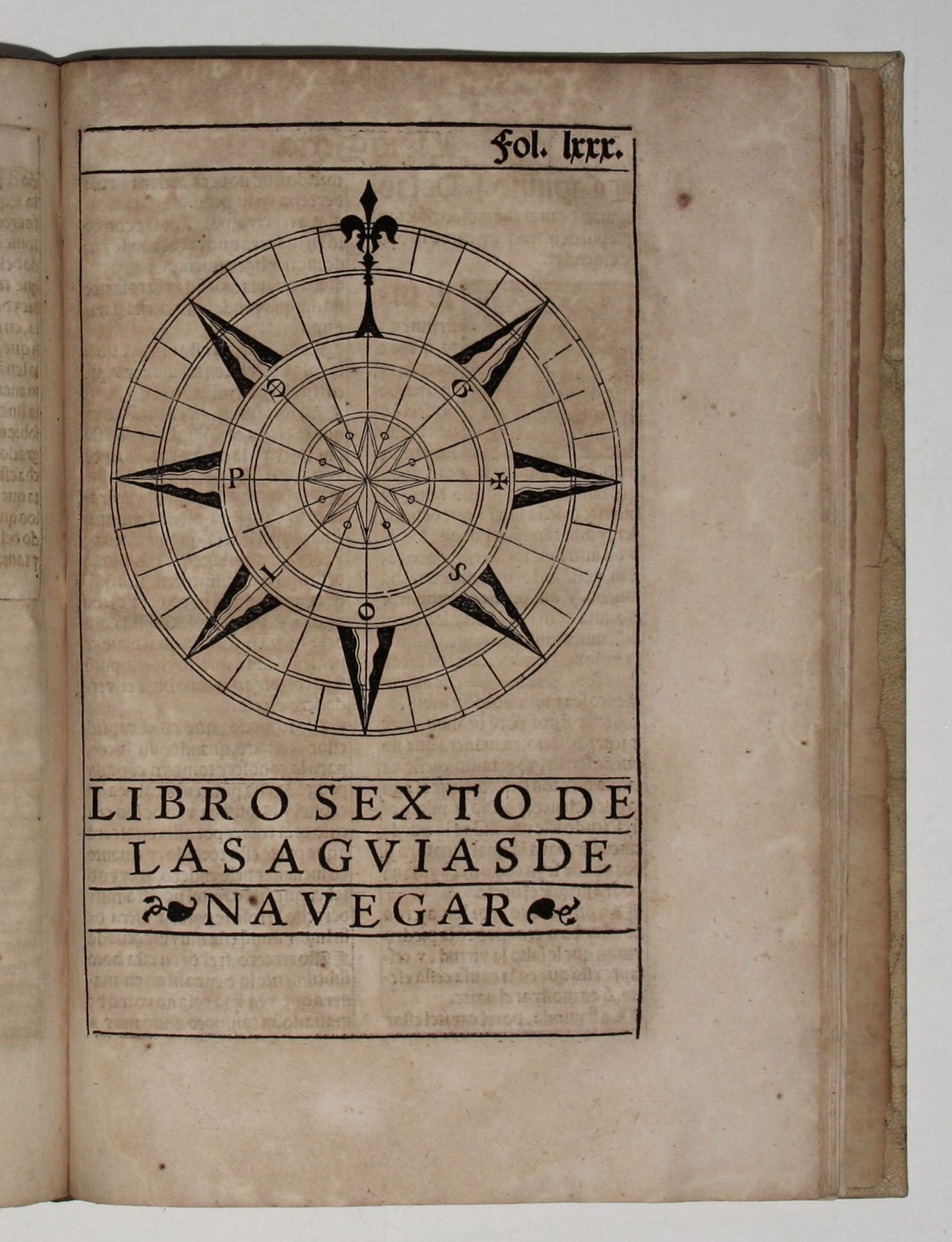
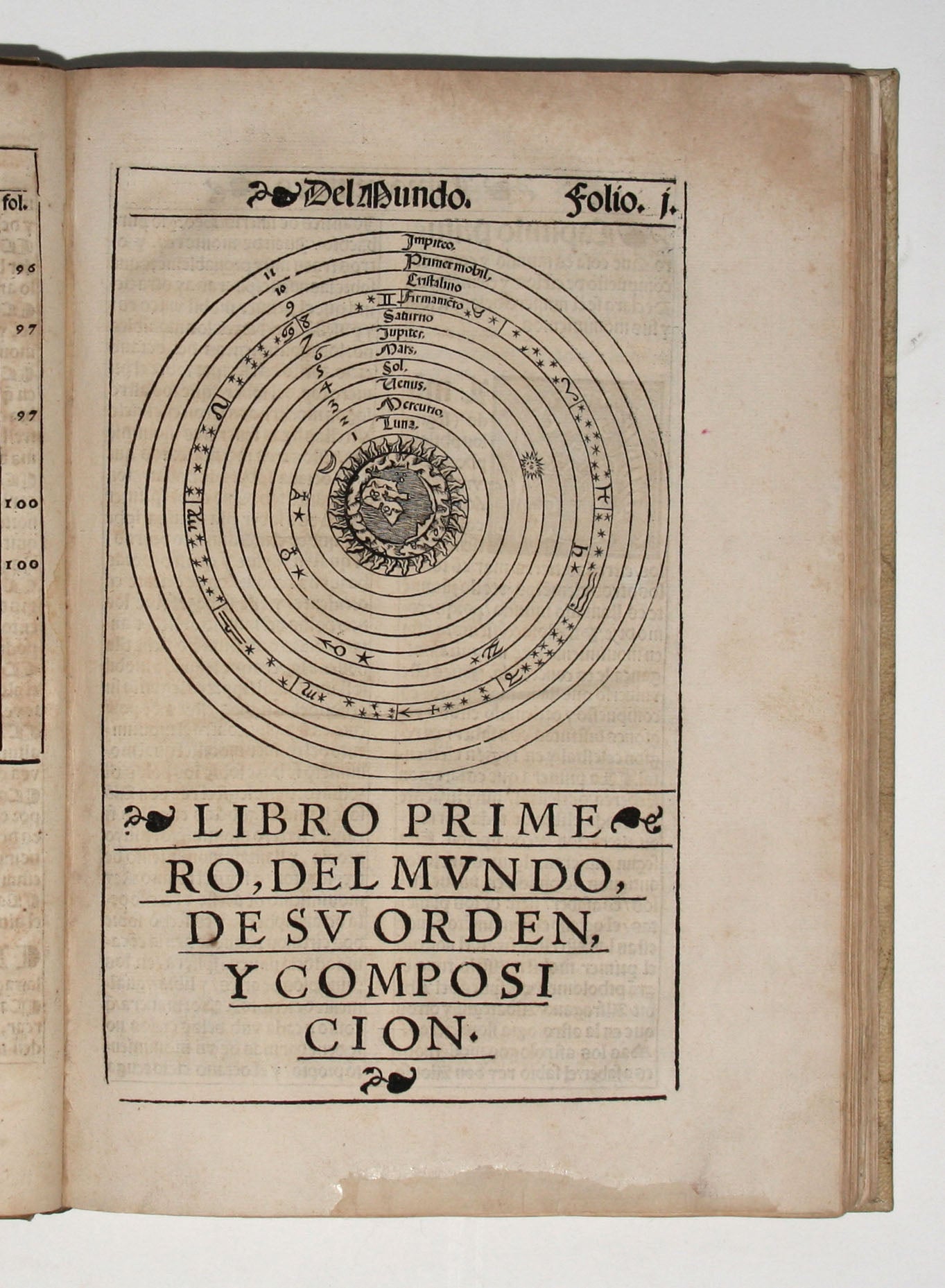
Small folio [29.3 x 20.7], (6) ff., C ff., (1) f. colophon, (1) f. integral blank, with title and sun woodcut printed in red and black, woodcut royal arms of Spain on title, a full-page woodcut map of the Atlantic showing the Americas, numerous half-page and smaller text illustrations (geocentric system, globe with winds, the man in the moon, etc.), woodcut initials. Bound in vellum over boards, preserved in a custom slipcase. Rubbing and staining to spine and boards, unidentified engraved bookplate (Father Time with cornucopias, a Nativity, and a zodiac ring above landscape with a church) an ownership inscription (“Ex Biblioth. Sancti Bonaventurae”) and cancelled shelfmark on front flyleaf. Bottom blank corner of title restored, restoration to bottom blank margin at f. b1, a two-letter hole at f. b8, old mend to inner margin at f. e8, old mend at f. i6, occasional minor to moderate spotting and toning, occasional edge wear. First edition of Pedro de Medina’s (1493-1567) renowned and very rare Arte de Navegar (1545), an early instructional manual for those voyaging to the New World and a work considered to be the first treatise to give reliable information on the navigation of American waters. The volume is finely illustrated with woodcut maps and diagrams, including a ‘portrait’ of the Sun printed in red (f. 35v.) and a charming view with 6 ships under sail (f. 11). The full-page map (f. 22) of the ‘Nuevo Mundo’ shows the Atlantic coast of North America including Florida and the lands around the Gulf of Saint Lawrence, Central America, and North coast of South America, and the west coast of Europe and Africa. We know of no earlier Spanish printed map to represent the Treaty of Tordesillas’ demarcation dividing the New World between the two superpowers, Spain and Portugal. Medina, who “may be said to have been the founder of the literature of seamanship” (Church 98), traveled with Cortez, and, as a royal examiner of Spanish pilots and sailing-masters to the West Indies, he was also the chief authority on navigation in the Atlantic. Copies of his book are known to have traveled with Drake and Frobisher. Medina was for a time a cleric and served as librarian to the duke of Medina-Sidonia. Enlisted to prepare charts and other navigational aids by the Emperor Charles V, he was named cosmografo de honor in 1549. Medina’s Arte de Navegar was later translated into German, French, English, and Italian. * Sabin 47344; Medina, Bib. hispano-americana 123; Alden-Landis 545/19; Harrisse 266; Church 98; Palau 159664; Borba de Moraes, R. B. de bib. Brasiliana, vol. 2, 47-8. PRICE ON REQUEST
Sold