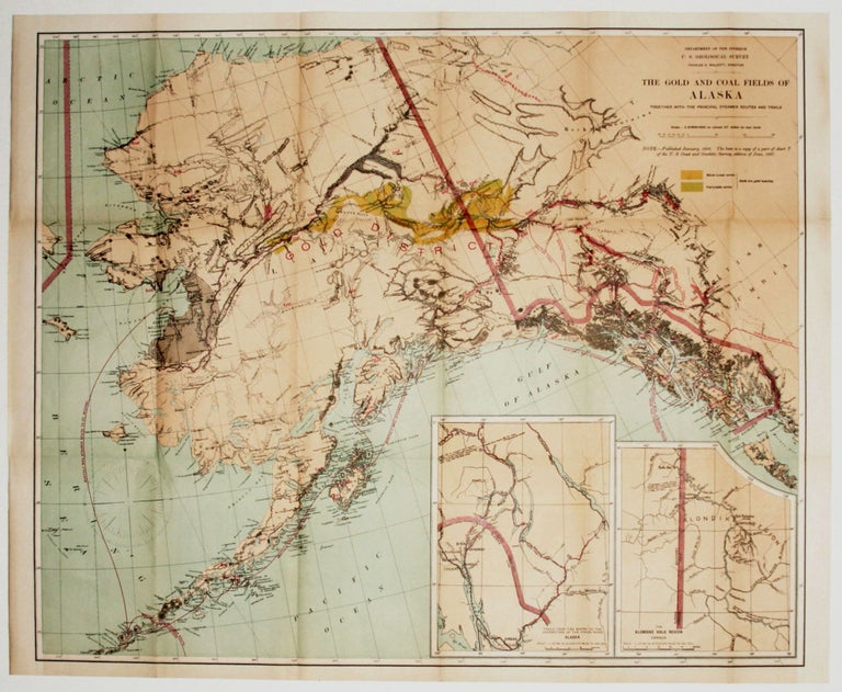
The Gold And Coal Fields Of Alaska Together With The Principal Steamer routes And Trails.
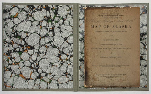
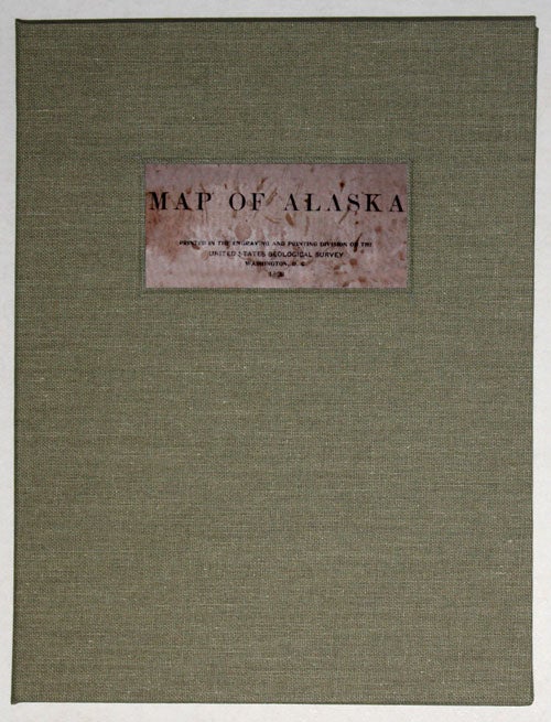
23 3/4 x 28 3/4 inches. Chromolithograph. Fine condition. [With accompanying pamphlet:] Map Of Alaska Showing Known Gold-Bearing Rocks With Descriptive Text Containing Sketches Of The Geography, Geology, And Gold Deposits And Routes To The Gold Fields... 8vo, 44 pp., in paper wrappers, wear mainly along spine, covers stained, internally very good; housed in handsome new covers, linen over boards, lined inside with marbled paper.
Published at the height of the Alaska Gold Rush (1896-99), this beautiful map, highlights with appropriate gold coloring the famed Klondike region that was the destination for most prospectors during the gold rush. The map also indicates areas of gold as well a coal deposits throughout Alaska and the part of British Columbia shown on the map. The various trails leading to the gold regions are named and vividly indicated. The data visually presented by the map is fully fleshed out in the accompanying pamphlet, thus providing a portrait of the area of exceptional depth. The pamphlet is signed in a very graceful hand by one Mulford Jenkins with the date, March 28th, 1898.
* Falk 1898-51.
Sold