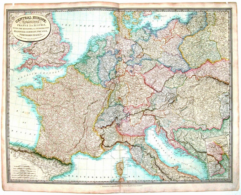
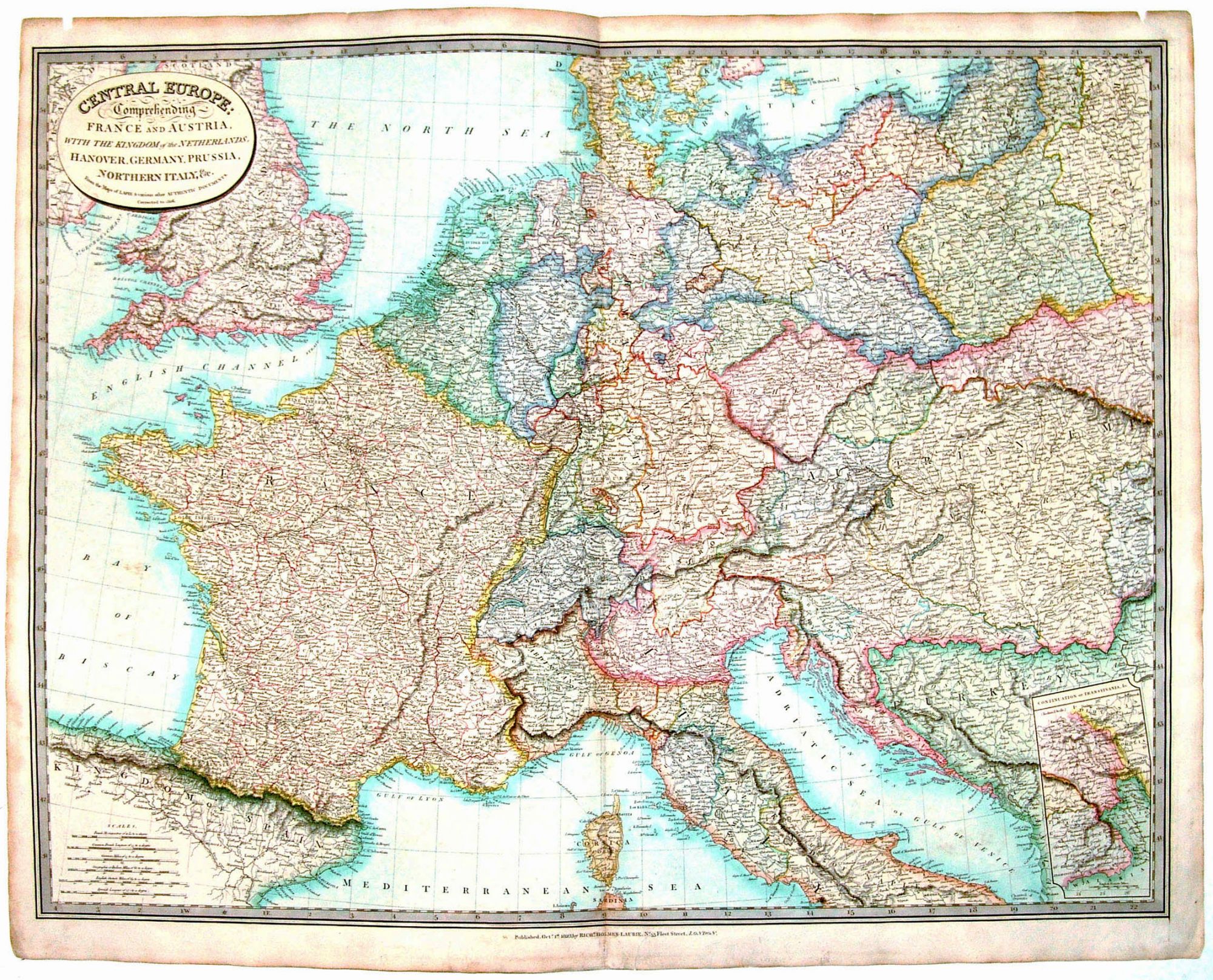
Central Europe.
[London, 1826]
Central Europe: Comprehending France and Austria with the Kingdom of the Netherlands….
23 ½ x 30 ½ inches, Original wash color; slight toning, else very good.
Vibrantly colored map of Central Europe, showing the borders of France and the Austrian Empire as they were at the conclusion of the Napoleonic Wars.
Sold
See all items in
Antique Maps
See all items by R. H. LAURIE