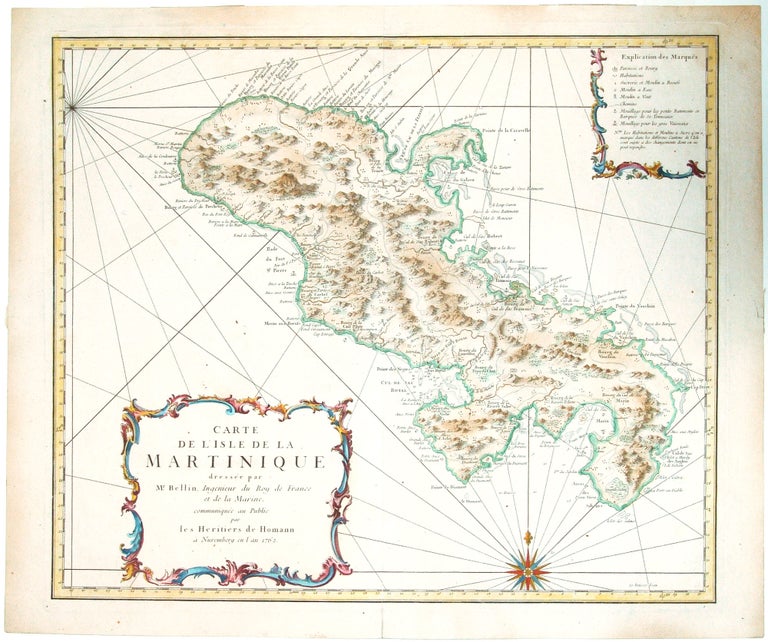
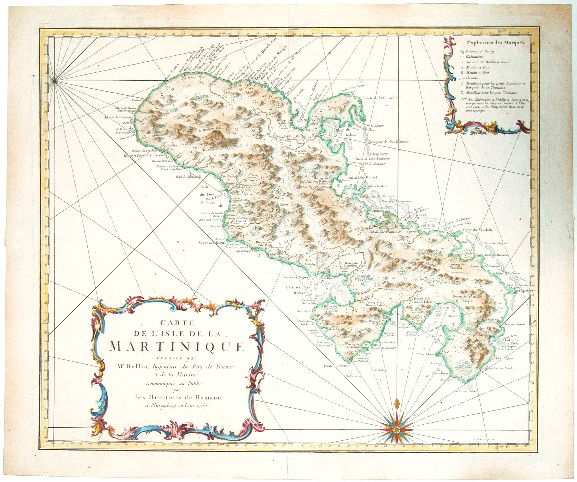
Martinique/ Caribbean.
[Nuremberg, 1762]
Carte de L’isle de la Martinique dresée par Mr. Bellin, Ingenieur du Roy de France et de la Marine….
18 x 21 ¼ inches, Fine hand color; a few small spots with virtually no loss, else excellent.
Attractive and detailed nautical map of Martinique showing areas of safe anchorage and soundings along the coastal coves. A key provides the locations of sugar refineries, wells and parishes; roads also appear on the map. There is a handsome compass rose.
Sold
See all items in
Antique Maps
See all items by HOMANN HEIRS