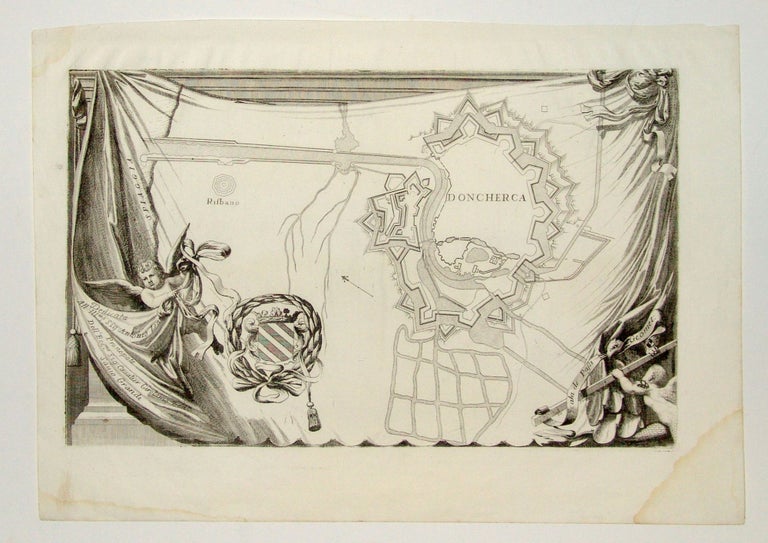
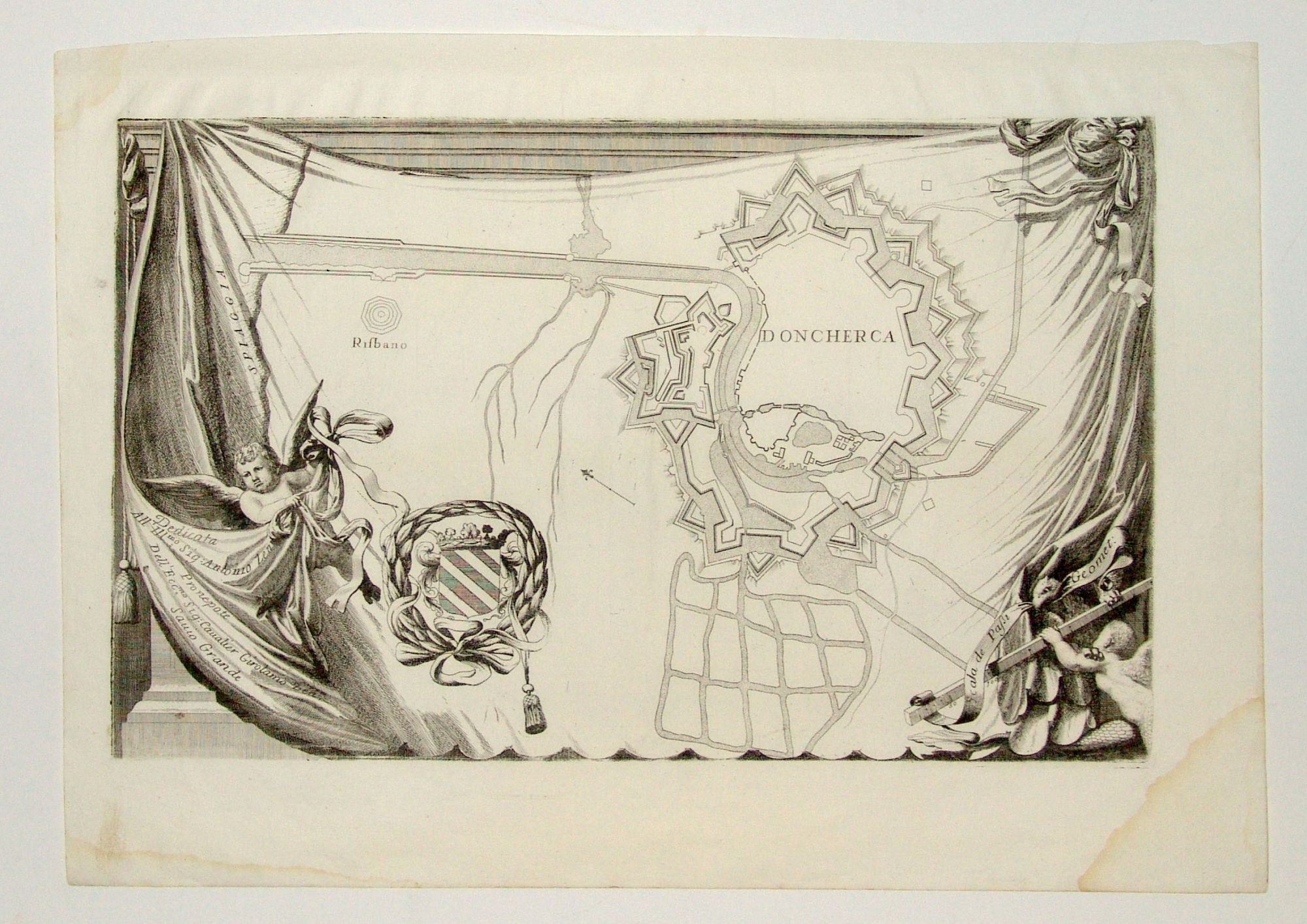
Dunkirk.
[Venice, 1689]
Untitled.
10 ¼ x 16 ¾ inches, Water stains to margin only, else excellent.
Fascinating map of the fortification of Dunkirk with elaborate embellishments. In a trompe l’oeil fashion, this map is framed by drapery and adorned with cherubs. The Dunkirk coat of arms is shown with these illustrations as well. In the area shown, a major canal, beginning in the center of the city, continues to the North Sea. This map shows Dunkirk as it was in its early stage as a French territory. It was printed just a few decades after the French government had purchased the city from Charles II of England.
Sold
See all items in
Antique Maps
See all items by V. CORONELLI