
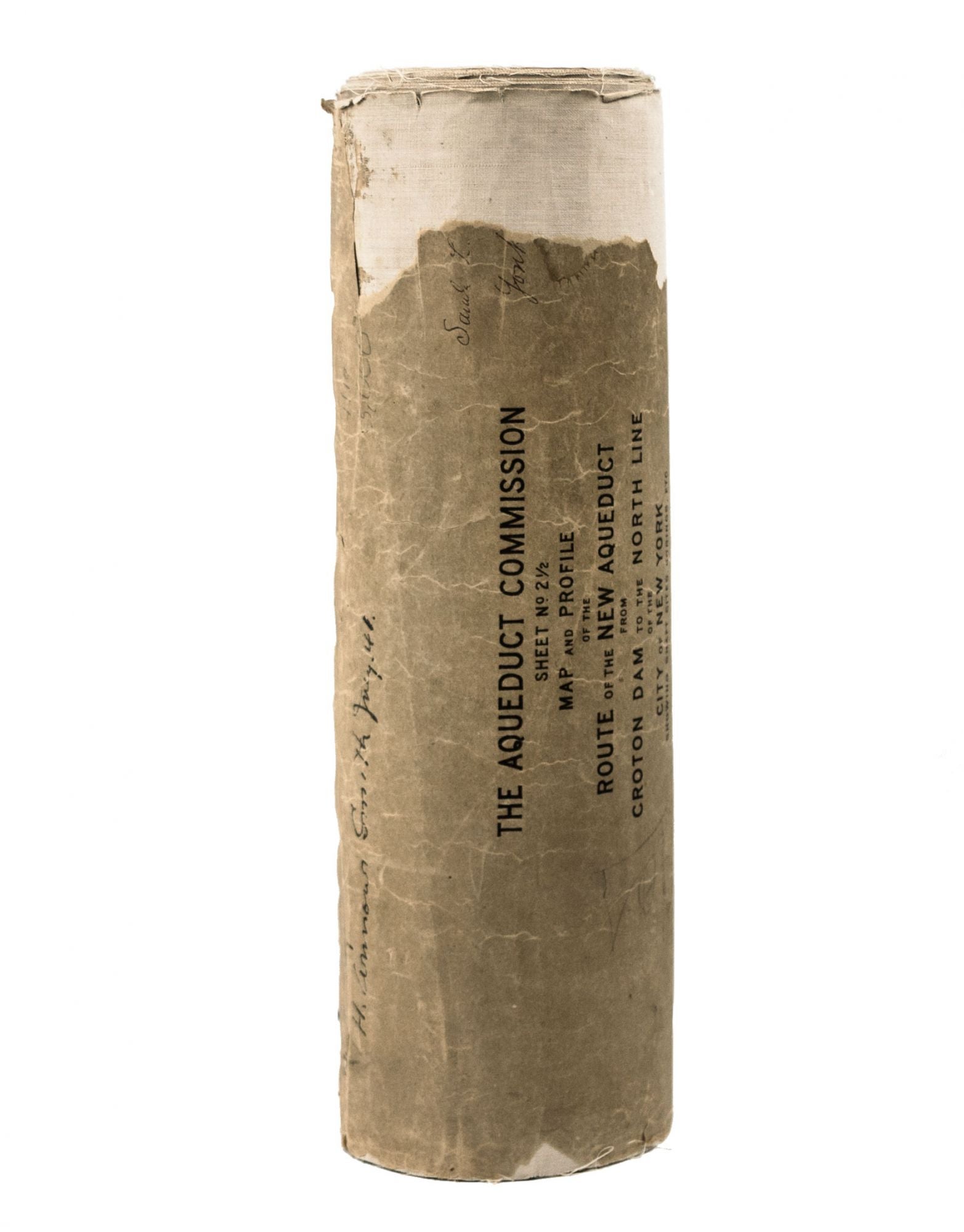
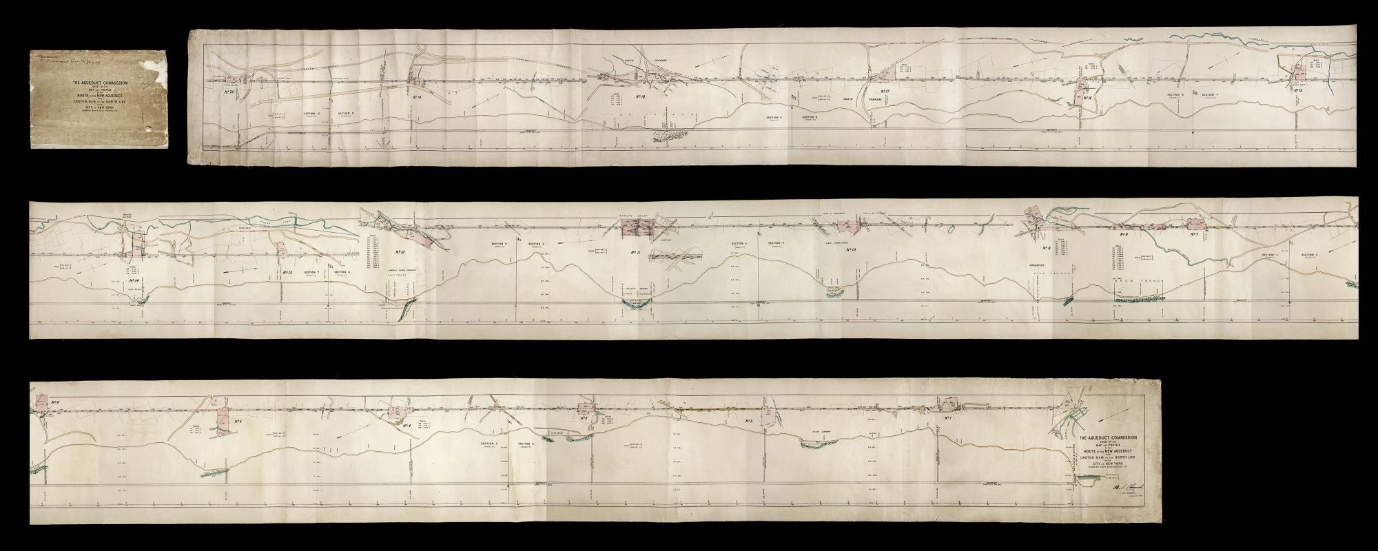
The Aqueduct Commission Sheet No. 2 ½ Map and Profile of the Route of the New Aqueduct from Croton Dam to the North Line of the City of New York Showing Shaft Sites, Borings, Etc.
9 ¾, Photolithograph. Details accented with hand color. 10 joined sheets mounted on linen, rolled. Soiling & light wear at ends, occasional, mainly edge splits within, still near excellent overall. A remarkable document for New York City and State infrastructure--a map of the construction plan of the New Croton Aqueduct, built between 1885 and 1890. It was the city's second aqueduct, which was necessitated by the inadequacy of the Old Croton Aqueduct, which opened in 1842. We have not found thus far any other examples of our specific map. The NYPL holds a manuscript version of it, which is somewhat longer at 30-feet, but not a printed example that matches ours. Also, a much smaller version exists, likely made for the public, which does not have the construction-related detail of this one. The scale of this work, which measures over 27-feet in length, on a scale of 400-feet to one inch, in a sense mirrors the massive undertaking that the construction of the aqueduct was. The new aqueduct, which ran parallel to the old one, was much deeper than original one and carried three times the amount of water. Still in use, it is 33 miles in length, 13 feet in diameter and entirely lined with brick. The present work consists of two maps of the aqueduct--one providing an aerial view of it and the other a profile view that shows the depth of the tube at various points as well as physical surface features such as soil composition and topography along its route. Looking closely at this work brings one to appreciate the multitude of complexities and challenges involved in such a project as well as the precision required to execute it successfully. As indicated on the map, for example, the slope of the aqueduct would be altered a mere .7 of a foot per mile to enable gravity to propel the water along at the proper rate of flow. The map of the aerial view of the aqueduct indicates the increased amount of surface infrastructure--rail lines and roads-- that would have to be contended with in the construction process. This aerial map also shows the boundaries of private properties, the structures on them, and in some cases the names of their owners along the aqueduct's route. It also indicates the several shafts at regular intervals along the aqueduct that would be used to access the tube, with diagrams of maintenance structures from which the shafts would descend. The chief engineer for the project was Benjamin Stillman Church (1836-1910), whose printed signature appears on this work. He had been associated with the Old Croton Aqueduct since 1856, first as a topographer and then as its Resident Engineer. In 1882 he warned that the old aqueduct was running at full capacity and that attempts to force more water into the system due to the city's needs could have catastrophic consequences, which led to creation of the new aqueduct. Church was also involved in the planning and creation of the dam that would create the Croton Reservoir, from which the new aqueduct's waters would flow. The waters sent by this New Croton Aqueduct empty into the Jerome Park Reservoir in the Bronx and are distributed from there. It remains one of three systems bringing water to the city. However, it was closed in the 1990s due to concerns about contamination and other inadequacies. A variety of updates were made to the system including the construction of a filtration plant that was opened in Van Cortlandt Park in 2015 allowing for the aqueduct to be re-opened.
Sold