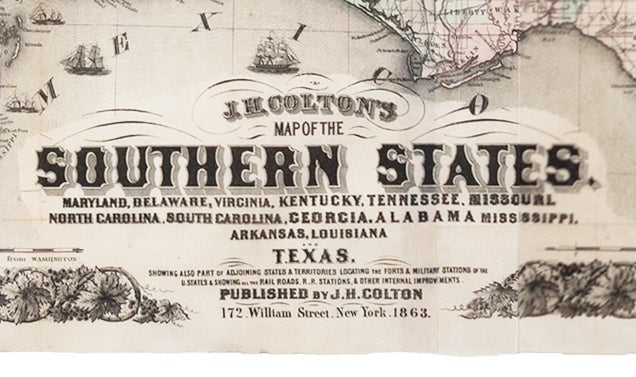
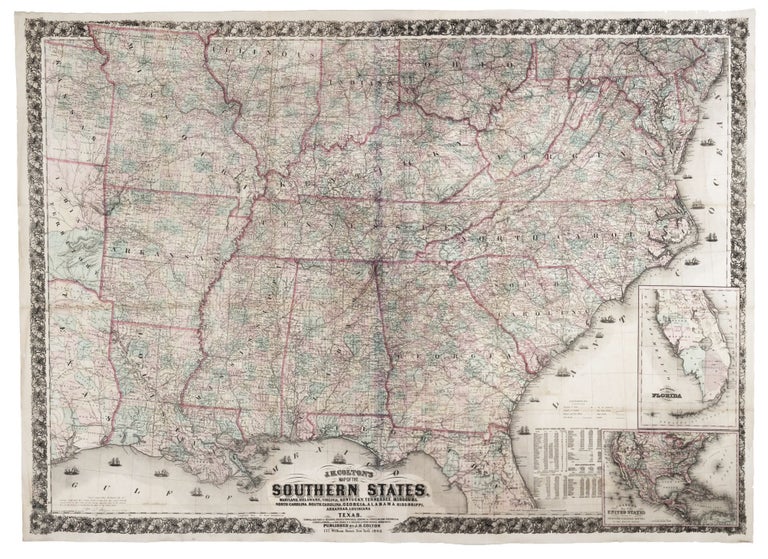
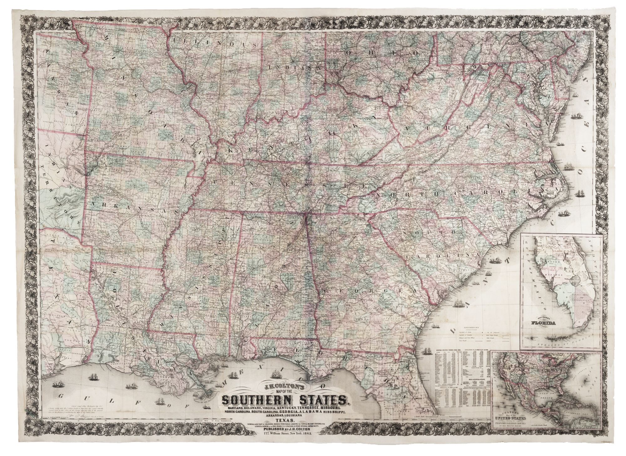
J. H. COLTON'S MAP OF THE SOUTHERN STATES. MARYLAND, DELAWARE, VIRGINIA, KENTUCKY, TENNESSEE, MISSOURI, NORTH CAROLINA, SOUTH CAROLINA, GEORGIA, ALABAMA, MISSISSIPPI, ARKANSAS, LOUISIANA, AND TEXAS. SHOWING ALSO PART OF ADJOINING STATES & TERRITORIES LOCATING THE FORTS & MILITARY STATIONS OF THE U. STATES & SHOWING ALL THE RAILROADS, R.R. STATIONS & OTHER INTERNAL IMPROVEMENTS….
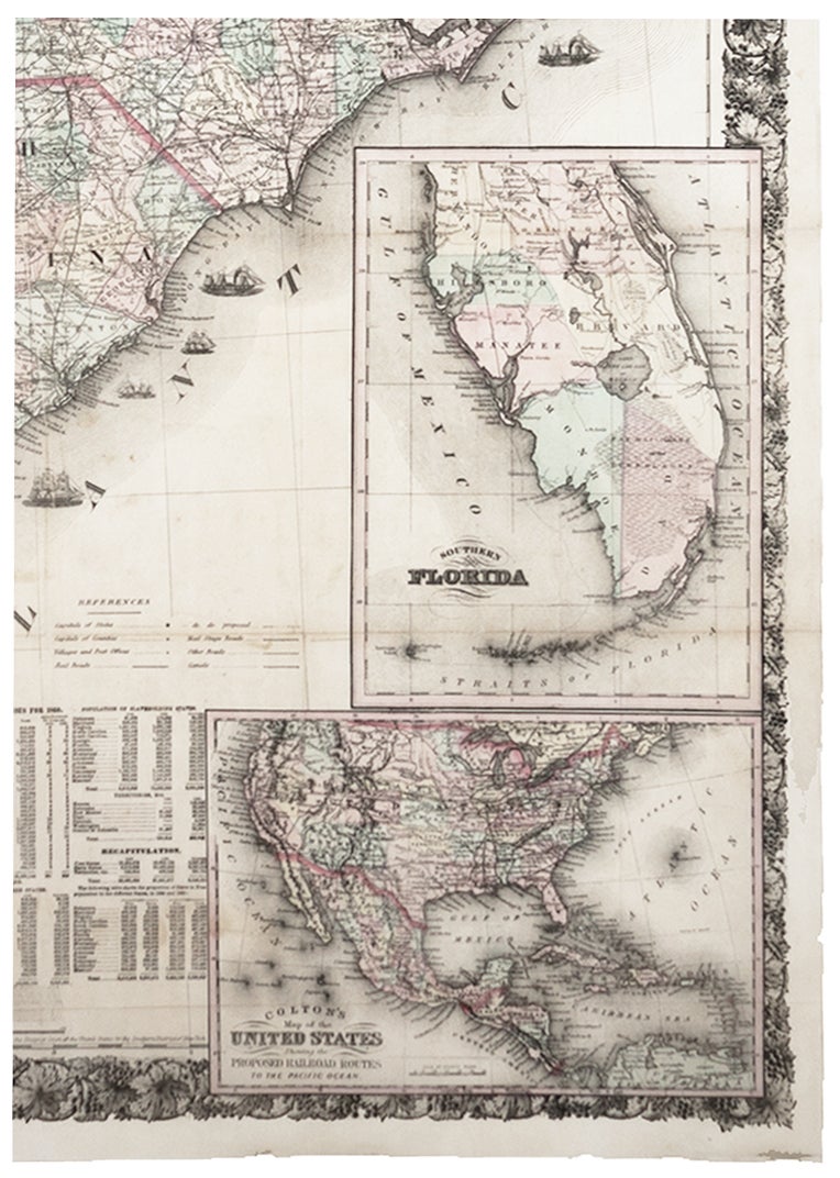
39 1/8 x 52 ½ inches.; 993 x 1334 mm, Engraved folding map on two joined sheets with original wash color, here flattened, engraved by Lang & Cooper; tables of state populations, referring to "Free States" and "Slaveholding States," foliate border. Accompanied by the original embossed brown cloth binding, front cover gilt-lettered "Colton's Map of the Southern States, Showing the Counties & Railroads, Cities, Towns, Railroad Stations." Few minor fold reinforcements, else a superb example. To our knowledge, this very handsome work was the largest and most detailed, commercial map of the Confederacy published during the Civil War. Notably, however, the Confederacy is nowhere mentioned by name on the map. Even given the map's large scale, the density of its detail, especially roads and railways, is remarkable. Other important detail includes forts and other military installations, canals and mail stage roads. An exceptionally well-preserved example of a very scarce map. As if anticipating the end of the war, this work includes an inset map of the United States showing the proposed routes of a transcontinental railroad. The other inset map, of southern Florida, was based on the Ives map of 1856 but with the addition of the names of the south Florida counties, including Dade and Manatee (est. 1855). Colton based his map on the southern portion of J. Calvin Smith's Map of the United States of America including Canada and a large portion of Texas, first published in 1843 but added many improvements. The Colton map still bears the attestation of the Principal Clerk of Surveys, General Land Office, that "Mr. J. Calvin Smith of New York has copied from the original plats in this Office all the Surveys deposited here to the present time, for the purpose of constructing his Map of the United States." Rumsey 4085.002 (1864 ed.).
Sold