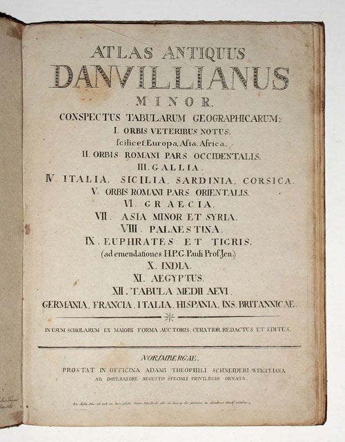
Atlas Antiquus Danvillianus Minor, conspectus Tabularum geographicaru:…In Usum Scholaru Ex Maiori forma Auctoris, Curator Et Editus…Norimbergae….
Folio, Small folio in original marbled paper over boards with calf backstrip, some wear; two ms. ownership inscriptions inside front cover dated 1825 and 182[6?]; 13 maps with original outline color & shading; light toning, bit of wear & staining, but excellent overall for its type. $1500.
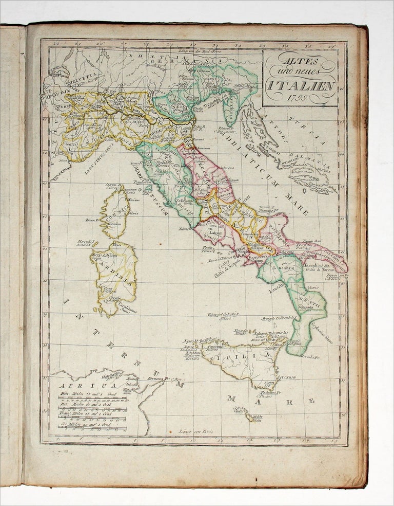
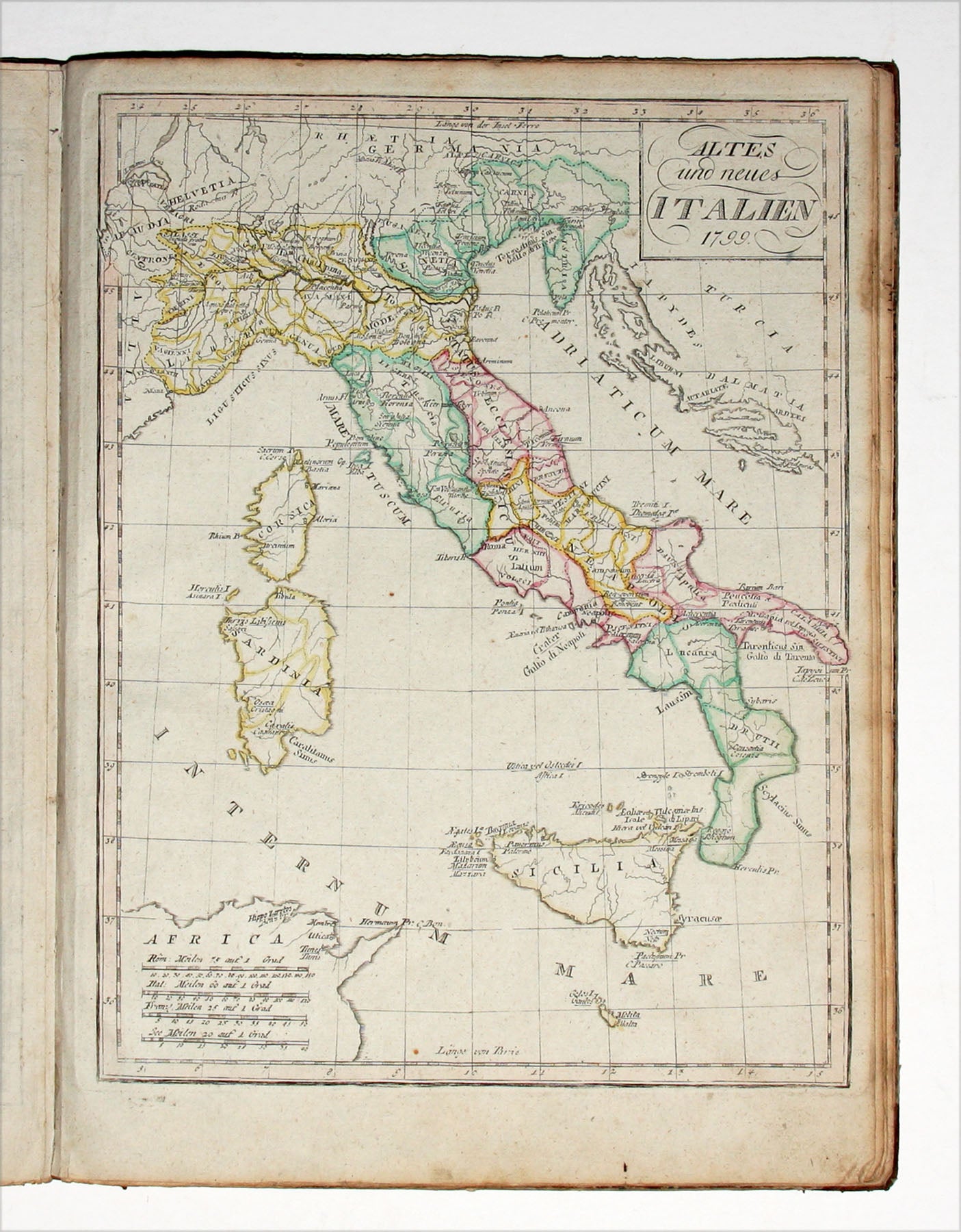
This school atlas of the ancient world appears to have been an academic bestseller through much of Europe in the late 18th and early 19th centuries. Beginning with D’Anville’s orginal French edition in 1768, it would be re-published in England and Germany numerous times through the early 19th century. However, having been used, and in the case of this copy, re-used by students, the atlas is scarce on the market.
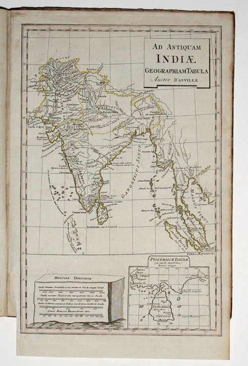
The 13 attractively colored maps display parts of Europe, Africa and Asia as far east as India as geographically known in various ancient periods. Works like this that supplemented the study of ancient history reflect a now seemingly long gone educational doctrine that placed a high value on the study of geography. We have seen examples of this atlas with 11 and 12 maps but with no more than the 13 in this copy. The work’s title-page has no date, but two maps do--1795 and 1799--hence the date we suggest above.
* Cf. Phillips 3268.
Sold