Nantucket.
[Paris, 1787]
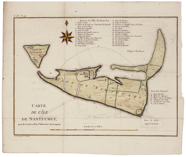
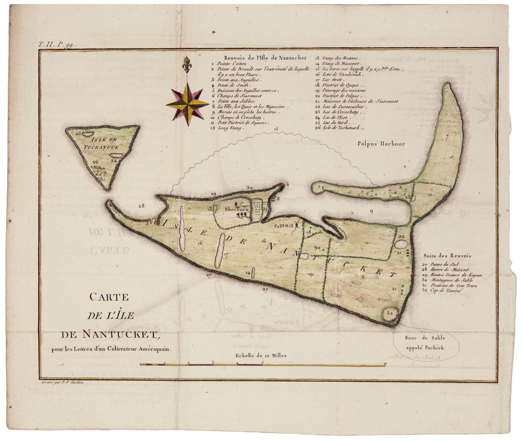
Carte De L'Ile De Nantucket,
8 x 11 inches. Fine hand color; small mended tear at insertion point with no loss; excellent condition. The earliest obtainable, separate map of Nantucket, aside from the very rare chart by DesBarres. It includes a 32-item list keyed to the map noting the locations of Indian tribes, towns, topographic features, and structures. In what must be just an uncanny coincidence, the shape of the island’s main harbor conforms to that of the head a sperm whale, which would become the source of much of the island’s wealth. The map appeared in a French edition of Letters from an American Farmer, a highly influential work that painted an idyllic picture of the United States and thus promoted settlement.
Sold
See all items by M. G./ TARDIEU CREVECOEUR, P. F.