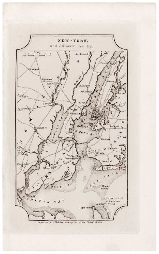
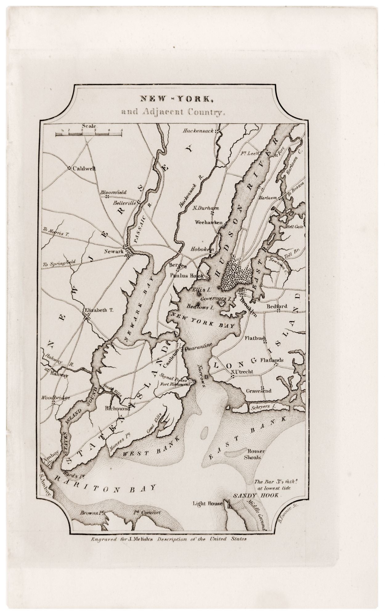
New -York, and Adjacent Country.
6 ½ x 4 inches, Lightly toned; one wormhole with virtually no loss, very good. This elegant map of New York City and the surrounding area shows the main routes between the island city and neighboring towns, noting as well the Post Road to Boston, crossing via a bridge at Harlem. The map also addresses the city’s water approaches and its epidemiological history. The Verrazano Narrows are marked “Quarantine,” a reference to the New York City Common Council’s effort in 1822 to stem the yellow fever outbreaks which had become epidemic in downtown areas. This surprisingly up-to-date little map appeared in Melish’s Geographical Description of the United States, an informational booklet printed to accompany editions of the mapmaker’s monumental map of the country.
Sold