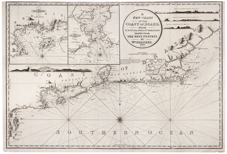
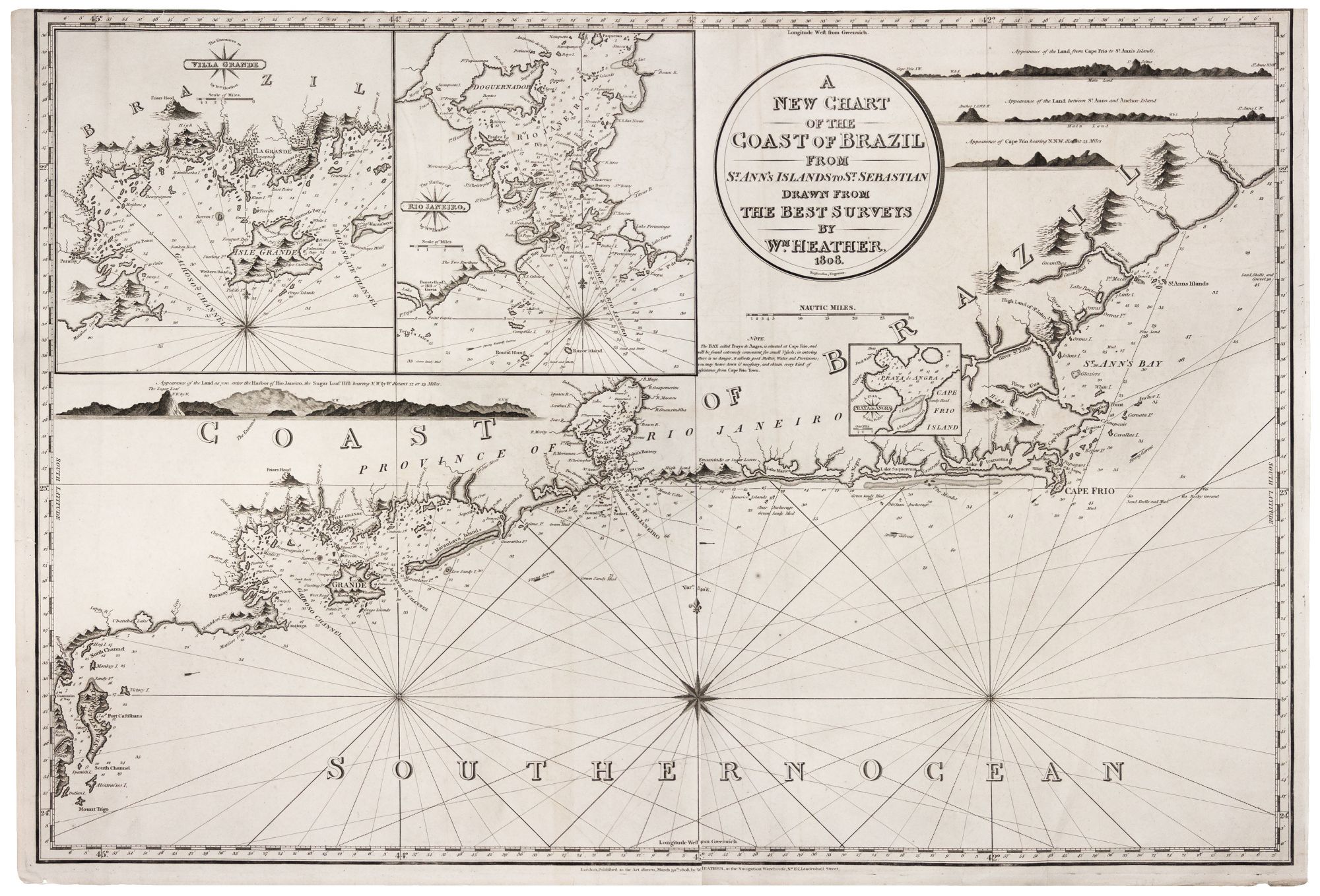
A New Chart Of The Coast Of Brazil From St. Ann's Islands to St. Sebastian….
25 x 36 ¼ inches, Engraving. Slightly cropped along top margin, else excellent with a very strong impression. Very rare; does not appear in market records. A beautifully engraved chart of the harbor of Rio de Janeiro, extending from Sao Sebastiao in the south to about Macae in the north. At upper left are highly detailed inset charts of Rio de Janeiro harbor and bay around Ilha Grande, and there are also four coastal profile views. William Heather (1766-1812) was a prominent London chart seller, engraver and retailer of instruments. He was part of a generation that ushered in professional, commercial chart making in England. Reflecting this is the engraving style of this work that falls between the elegance of the 18th century and the spare look of the 19th century charts. Cf. Worms/ Baynton-Williams, British Map Engravers, pp. 309-10 (this chart not cited)
Sold