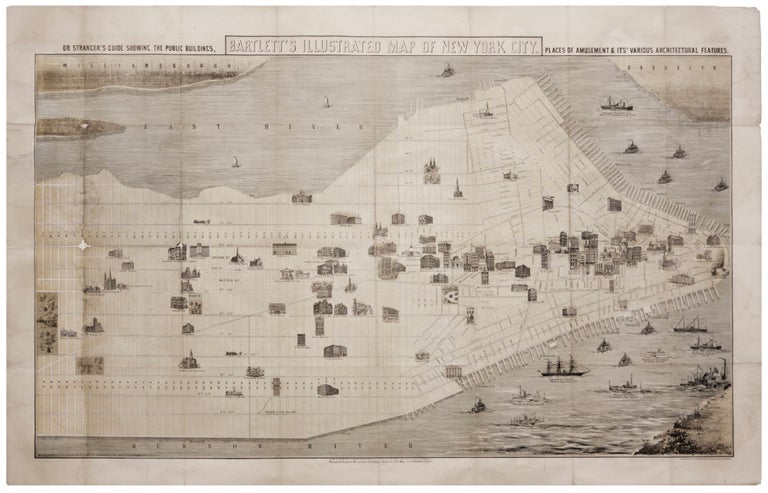
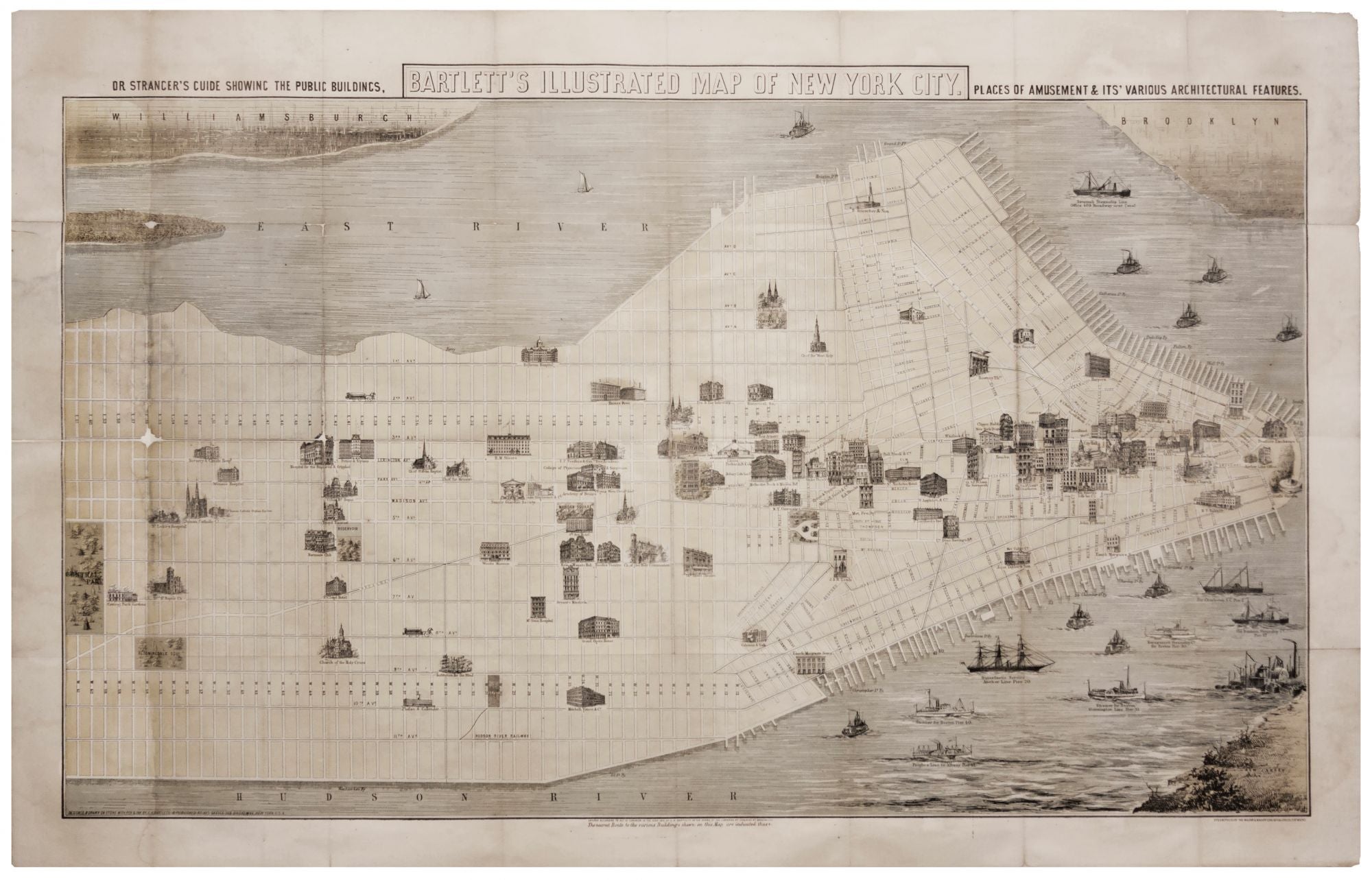
Bartlett's Illustrated Map Of New York City….
21 x 34 ½ inches, Lithograph with hand color; some filled losses at fold intersections, very good condition. Framed. A rare and unusual plan of the city with a strong focus on recreation. With its scores of images of buildings, this plan is a particularly rich architectural resource. Illustrated are theatres (Booth's, Wallack's, The Globe), clubs, concert halls, businesses and retailers, including Tiffany & Co., which opened lavish quarters in 1870 on Union Square. All of this reflects the city's growing prosperity after the Civil War and the emergence of New York as the chief emporium of the Gilded Age.
Sold