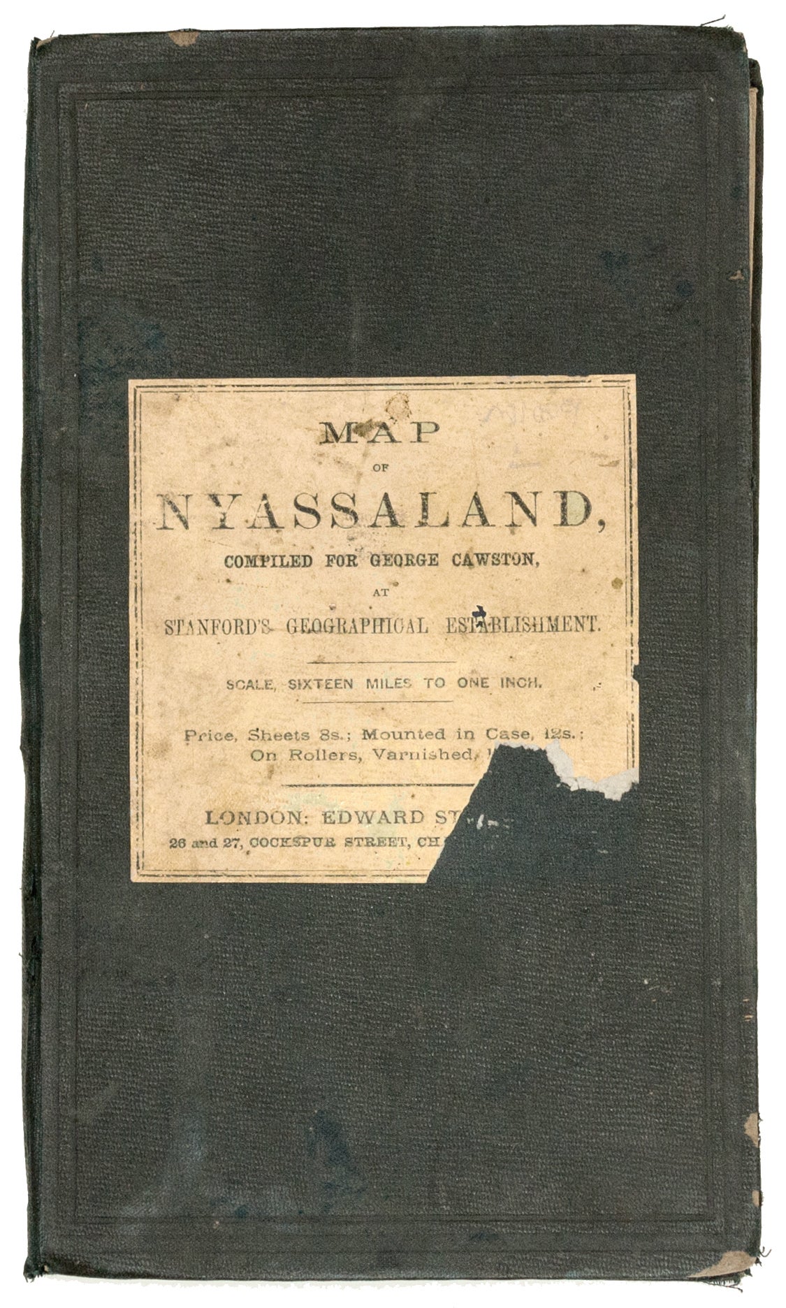
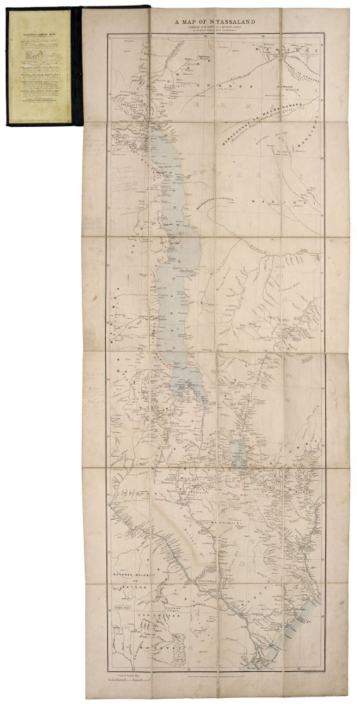
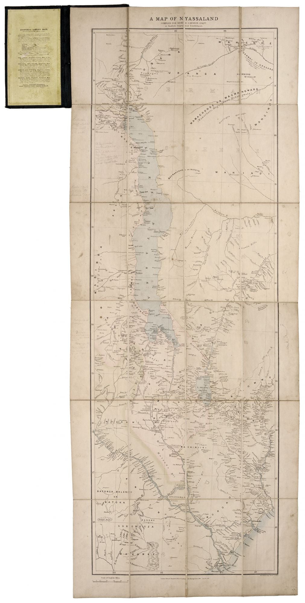
Map of Nyassaland, Compiled for George Cawston, Esq.
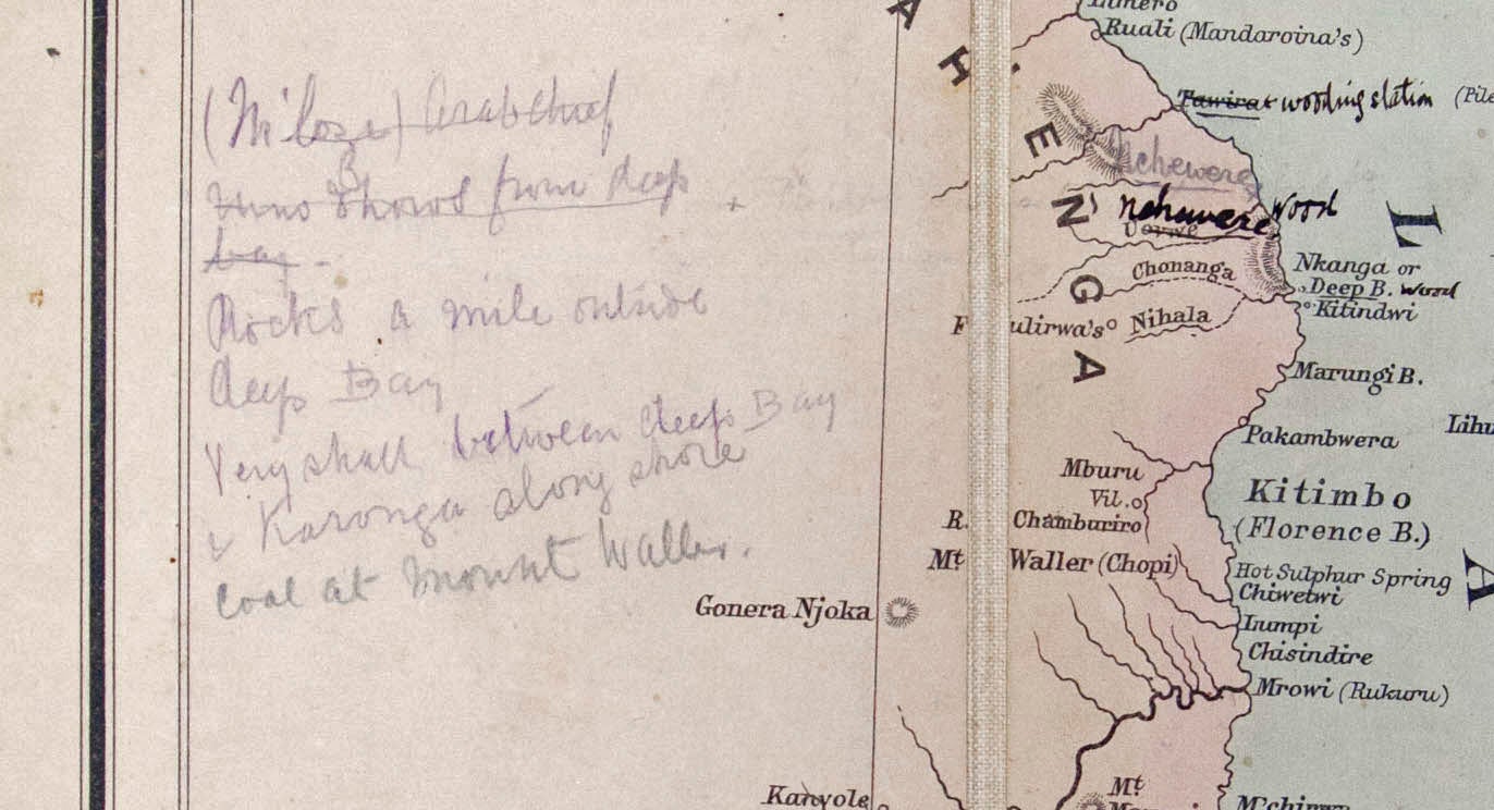
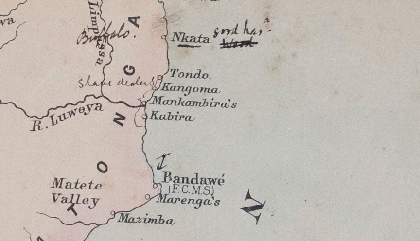
50 x 16 ¾ inches. Steel engraving. Original wash color; dissected and mounted on linen as issued, in original shagreen covers. Pencil and pen notation in margins and on body of map; excellent condition overall. This large, detailed map is the first printed, detailed depiction of Malawi (formerly Nyasaland), showing the region at the earliest stages of British rule. Manuscript notations indicate that it was used in-country, very possibly as part of the efforts by the British to eradicate the slave trade that still flourished there. These notations, which predominate on the coastlines, refer specifically to the slave trade: one group of villages on the coast is labeled “Slave Dealers” while in pencil it is noted “(M’lozi) Arab chief runs slaves from Deep Bay.” The other notes pertain to safe harbors and navigational threats – and many references to “wood.” According to the Proceedings of the Royal Colonial Institute for the year 1896-7, there were three steam boats in operation on Lake Nyasa in 1891, two of which were employed at least part time in suppression of slavery. These vessels – constructed in England and assembled locally – relied not on coal but on firewood for fuel, which had to be scavenged or traded for. The map was produced at a crucial moment in the history of the region. British involvement in Nyasaland was then still quite recent, primarily consisting of missionary activity; many missions are noted on the map. A British Consulate had only been established in the city of Blantyre in 1883. Portuguese expansion from neighboring Mozambique caused the British to make the area a British Protectorate in 1889 (ratified in 1891), which fixed the borders between Nyasaland, Mozambique and Tanzania. One of the conditions of British rule was the eradication of the slave trade. George Cawston was a barrister and one of the founders of the British South Africa Company, for which he produced a number of maps.
* Rare: OCLC only shows examples of this map in the Bibliotheque Nationale and the National Library of New Zealand.
Sold