South Africa/ Gold Mining.
[London, June 5, 1899]
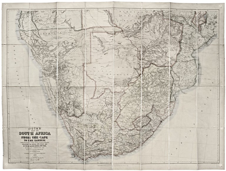
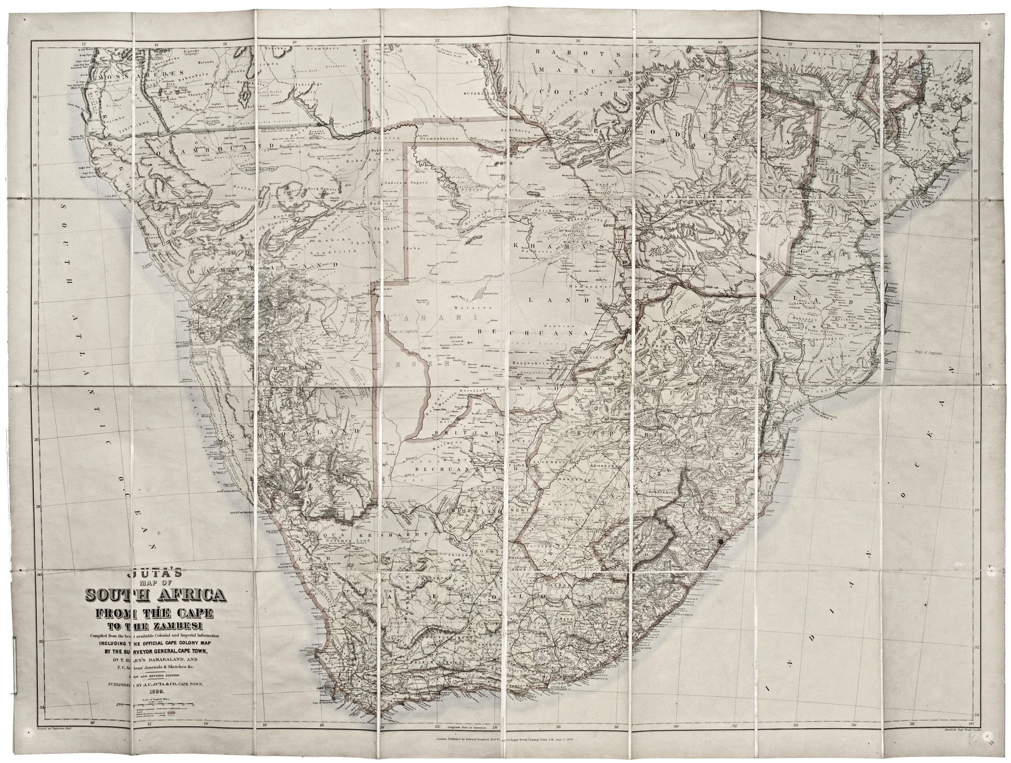
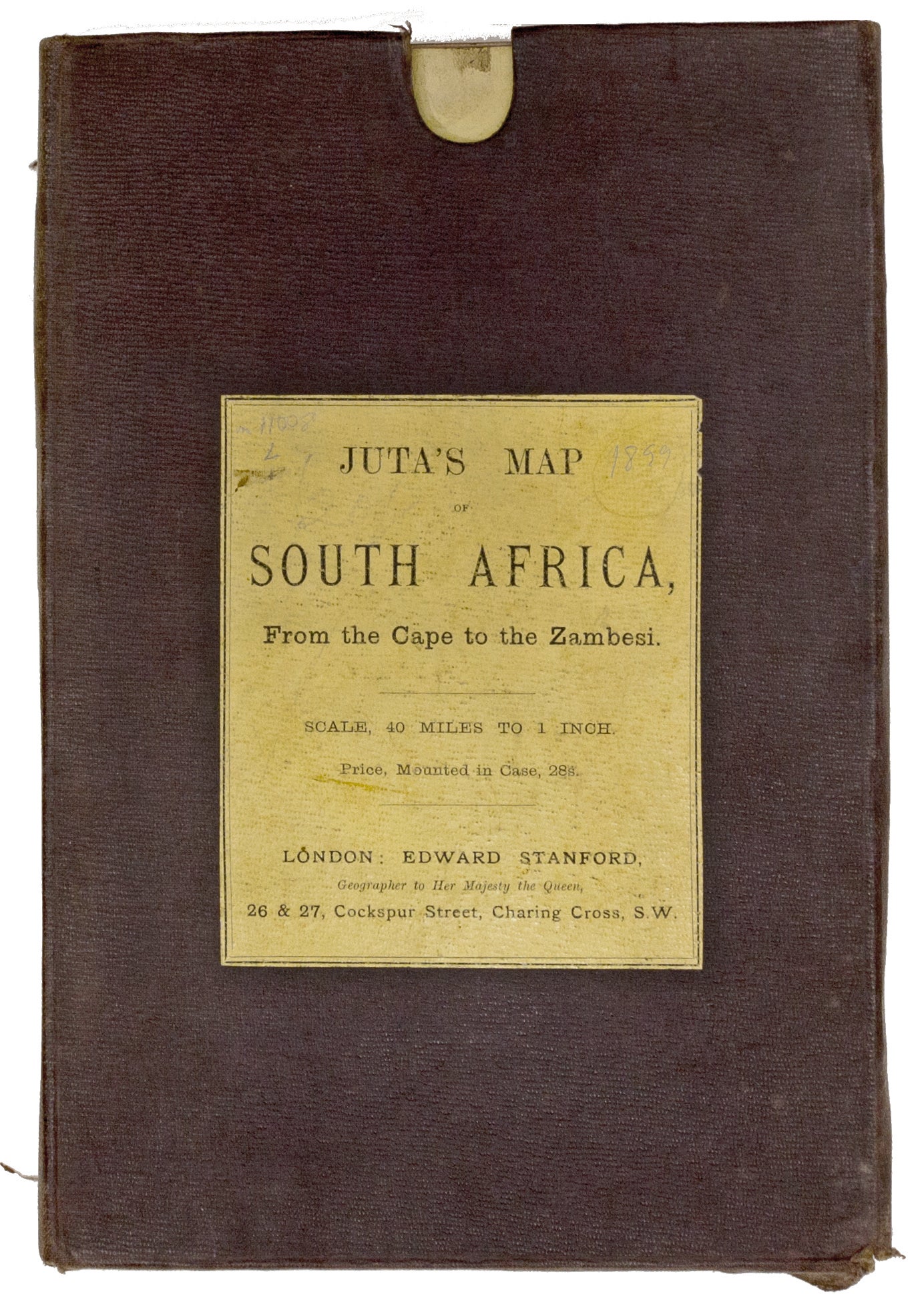
Juta’s Map of South Africa From The Cape To The Zambezi.
35 x 47 inches. Steel engraving. Original wash color; dissected and mounted on linen as issued, with original shagreen slipcase. Pinholes in margins, some faint soiling, excellent condition overall. This large, superbly detailed map of South Africa shows the region just prior to the outbreak of the Second Boer War. The Boer territories - Orange Free State and the South African Republic - are both shown in yellow, as distinct from the surrounding red of British lands. The gold rush town of Johannesburg and the nearby Witwatersrand gold fields are clearly marked. Arguably, the latter was the catalyst of the war as its discovery in 1886 reignited British efforts to annex the Boer territories.
Sold
See all items in
Antique Maps
See all items by E./ JUTA STANFORD, J. C.