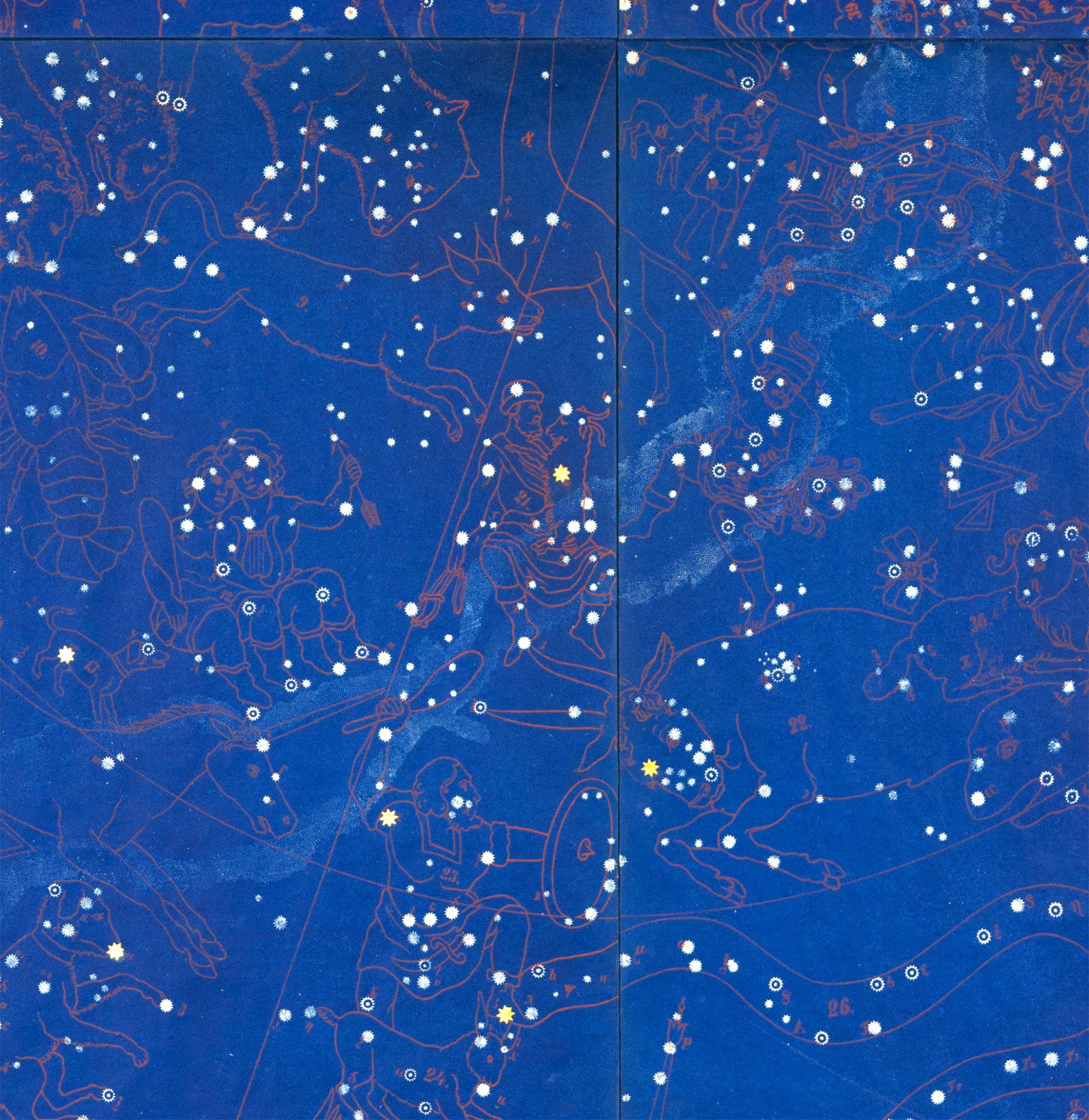

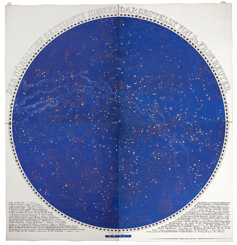
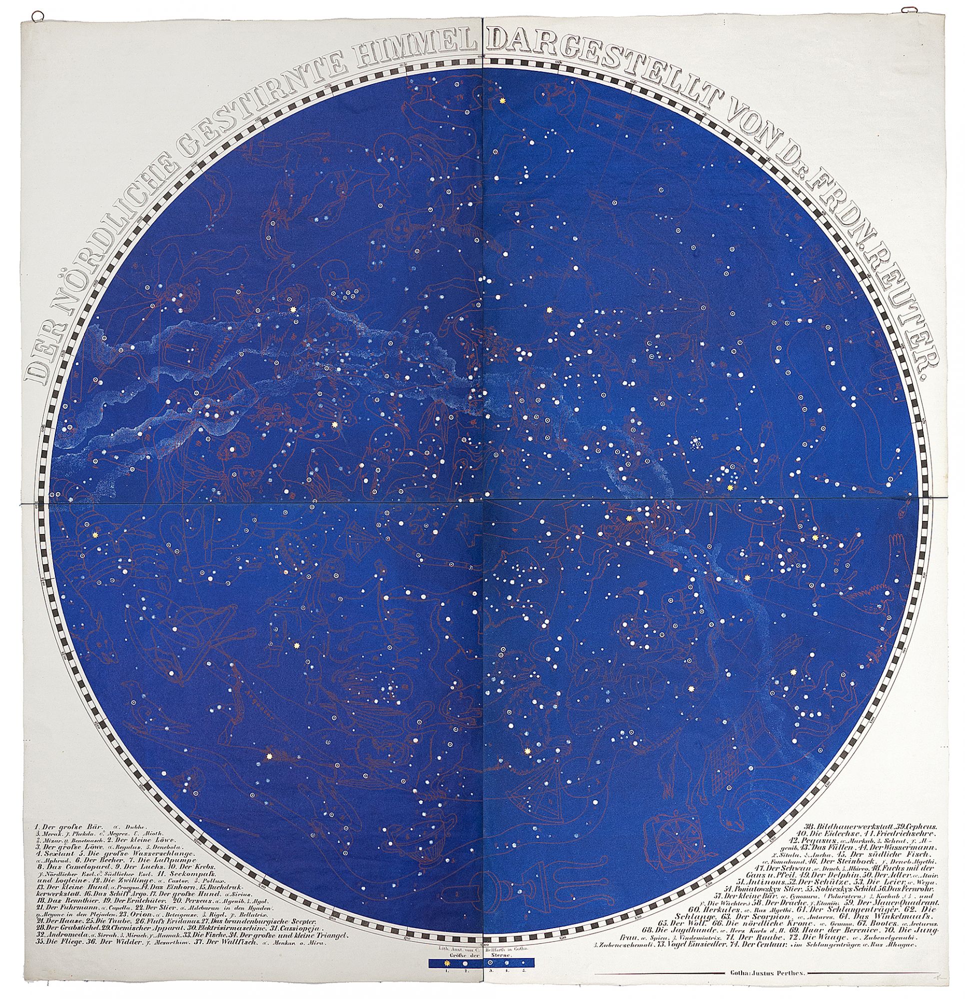
Der Nordliche Gestirnte Himmel Dargestellt von Dr. Frdn. Reuter.
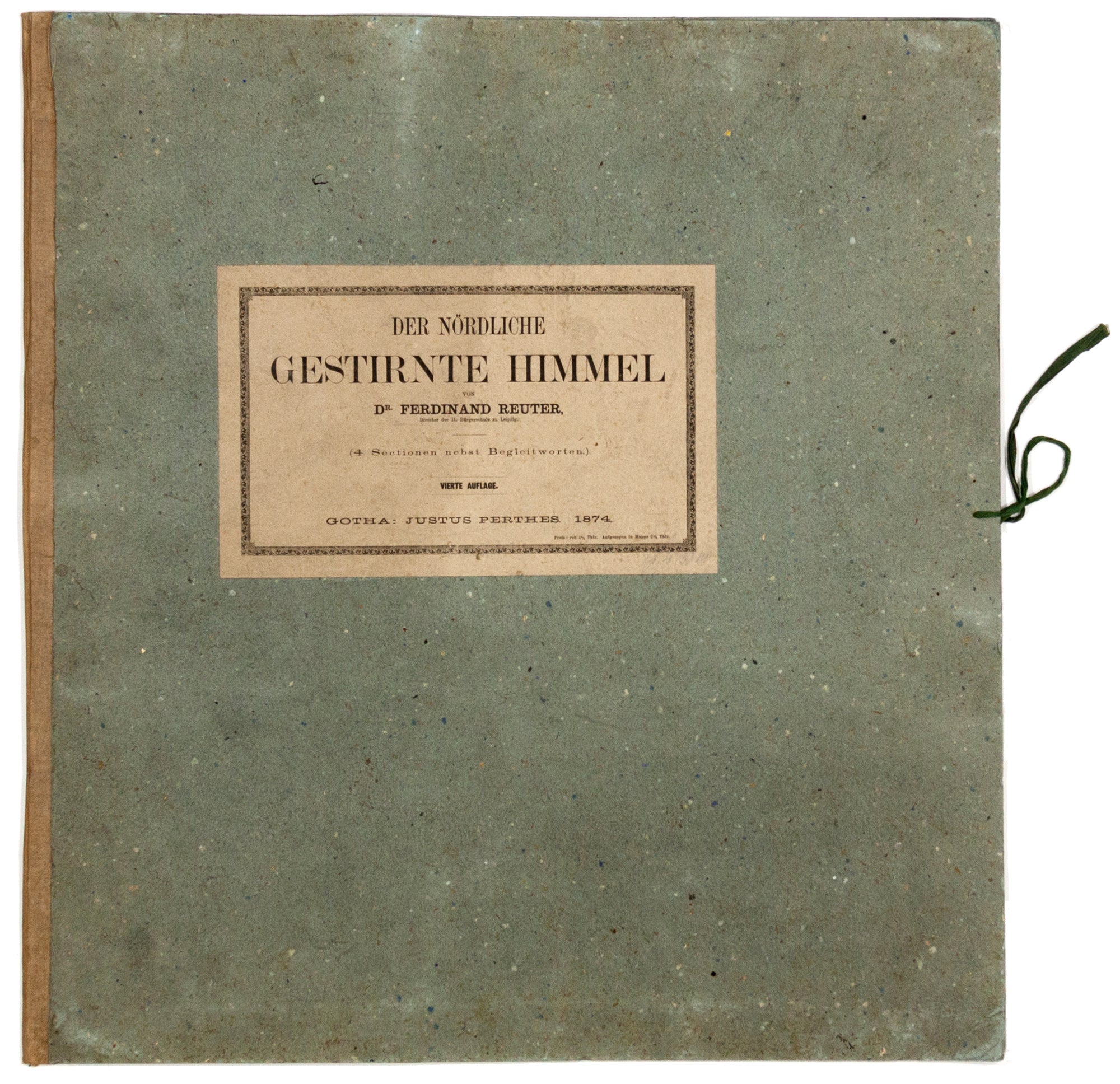
38 1/2 x 36 inches; boards, 20 ¾ x 19 ½ inches, [with] 10 pp. pamphlet bearing the same title as above; chart folding separately into original, folio, heavy boards with paste-on title & green ties; chart, 38 1/2 x 36 inches; boards, 20 ¾ x 19 ½ inches. Four color-lithographed sheets mounted on blue silk; excellent condition. Four color-lithographed sheets mounted on blue silk; excellent condition. Rare; separately published. A very striking piece of cartographic printing in which the northern constellations, presented in their traditional, figurative symbols, are outlined in red against a deep indigo sky. In fact, Reuter's intention, as stated in the accompanying pamphlet, was to create not only an accurate star chart but also one whose appearance mimics the night sky. And indeed, when properly illuminated, the stars and constellation figures on this chart vividly emerge. Stars are shown at five different magnitudes as indicated by the legend below the chart; those of the greatest magnitude, in gold, have been affixed to the chart, while the others are printed. There were four editions of chart, the first appearing in 1849, and each updating the last; this is the fourth. Despite the work's evident popularity in its day, it is very rare today: we found just a single market record over the last three decades. OCLC sites only copies in the British Library and one dated 1900 at the University of Utrecht. The Justus Perthes firm was particularly long-lived, having been in business from the mid-18th to mid-20th century. It was active in cartographic publishing, specializing in hand atlases of various types and occasional large-scale maps, such as one of Germany consisting of 25 sheets, 1829-1836. Not in Warner, Kanas or other works on celestial cartography.
Sold