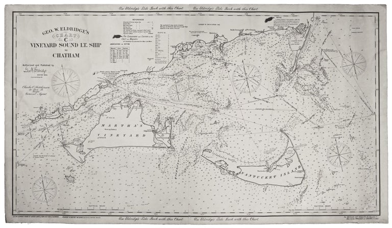
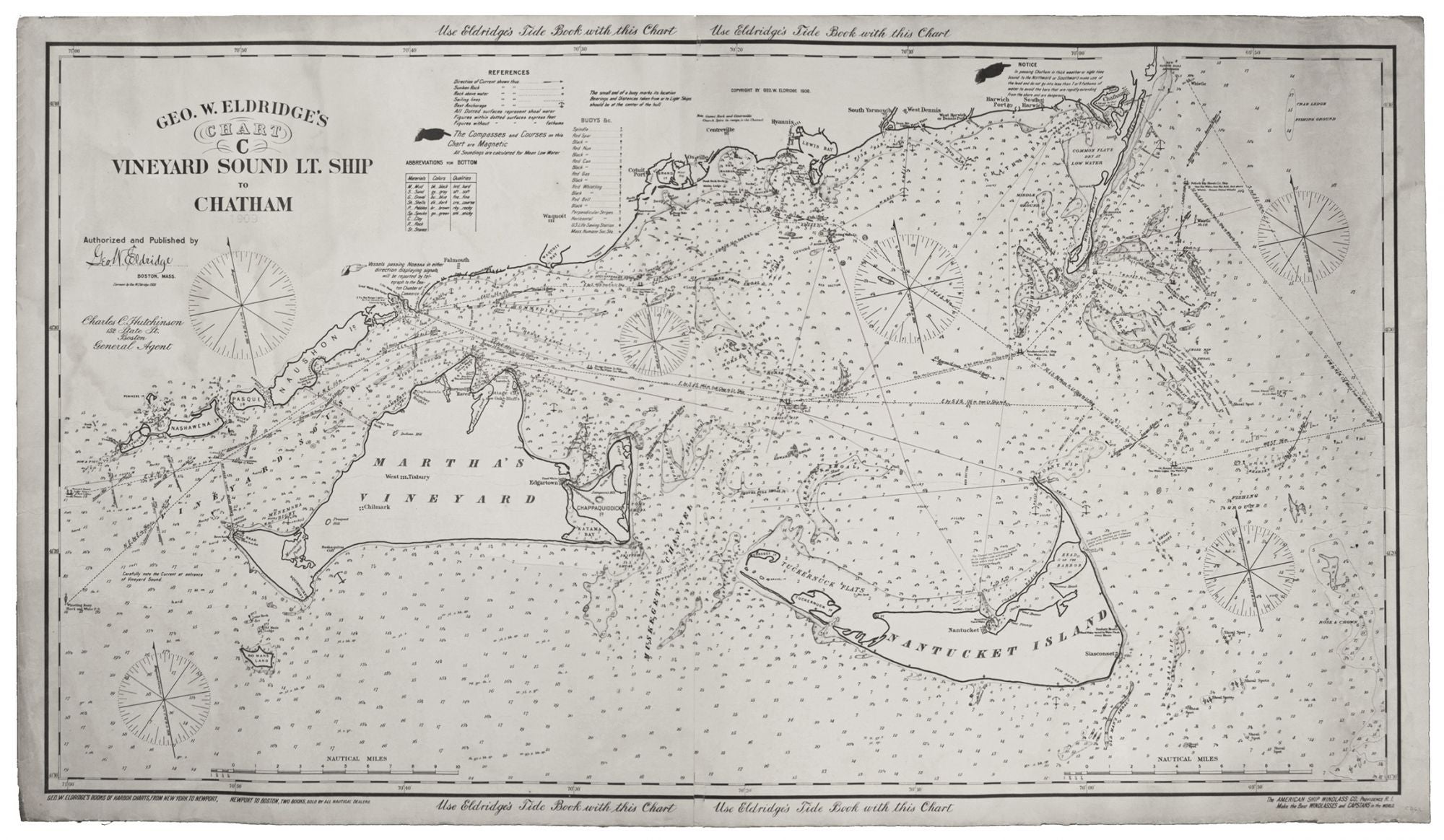
Geo. W. Eldridge’s Chart C Vineyard Sound Lt-Ship to Chatham.
27 ¼ x 47 ¼ inches, Two joined sheets mounted on linen as originally issued, with label listing available charts pasted on verso; a few courses drawn by hand in black & red pencil; fine condition. An uncommonly fine example of this scarce, well-detailed yet highly legible, nautical chart of the challenging waters in the area of Martha’s Vineyard and Nantucket. It is rich with navigational detail vital to anyone plying these problematic seas, all of which is presented with Eldridge’s characteristic clarity. In addition to the two large islands, the chart includes the southern shore of the Lower and Mid Cape from Wood’s Hole to Chatham, along with the Elizabeth Islands. George Eldridge (1821-1900) of Chatham produced his first chart (of the Chatham area) in 1851, and the family firm he started published charts through 1932; The Eldridge Tide and Pilot Book is published to this day. “[Eldridge’s charts] survived because of good design, simplicity, omission of extraneous shore topography, legible sounding and notes, and the use of compass courses only. … Their loyal public; fishermen, coaster, tug masters, and yachtsmen, often continued to use obsolete Eldridge charts until the beginning of World War II” (Guthorn). Interesting background information on Eldridge can be found on page 129 in Surveying the Shore, Historic Maps of Coastal Massachusetts by Joseph G. Garver. Cf. Guthorn, P. U. S. Coastal Charts, p. 12.
Sold