
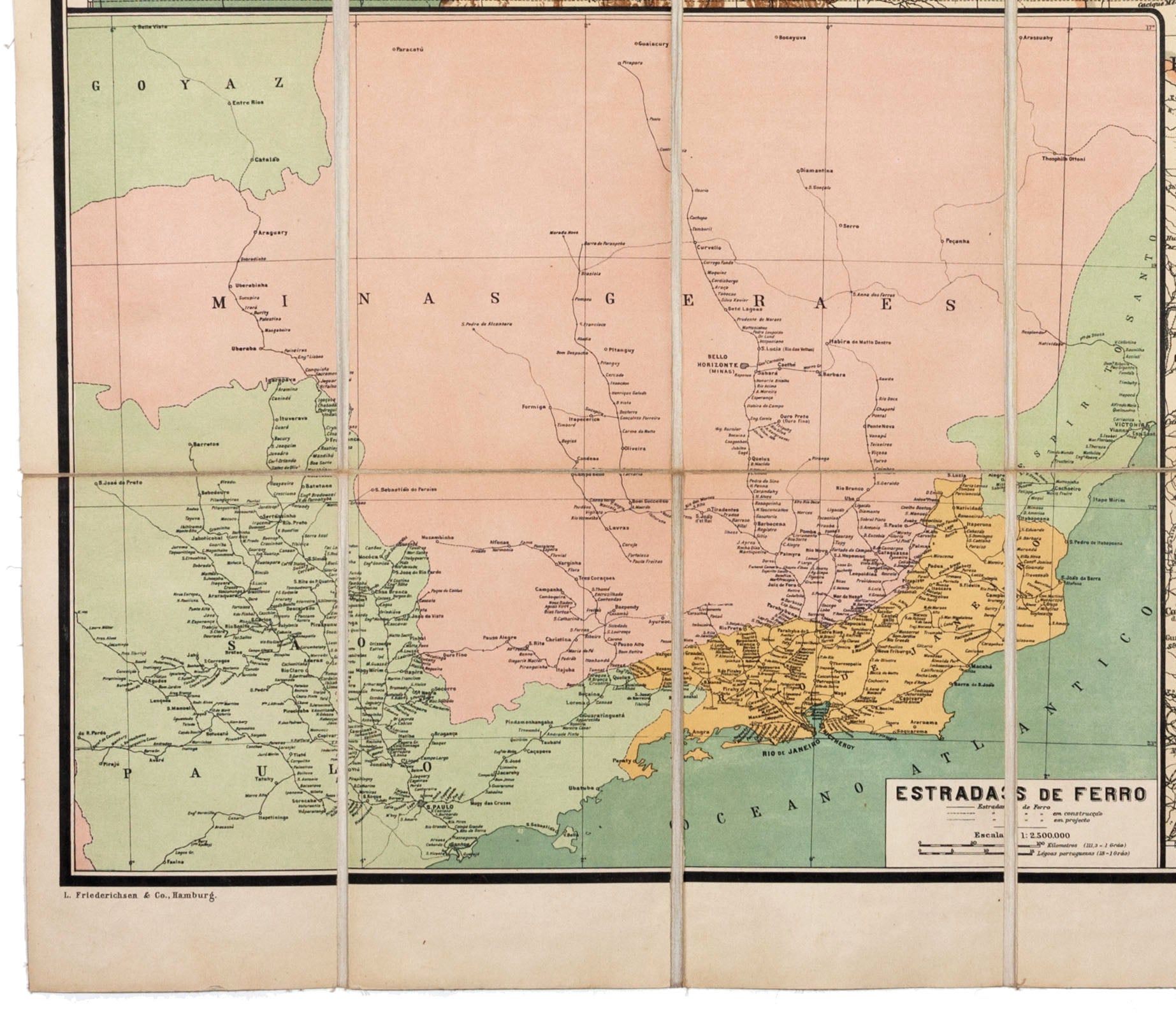
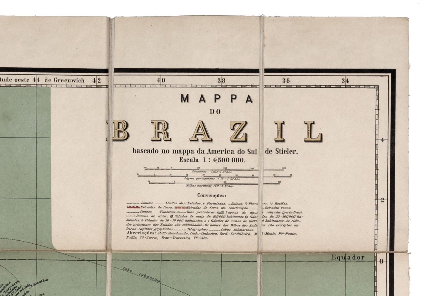
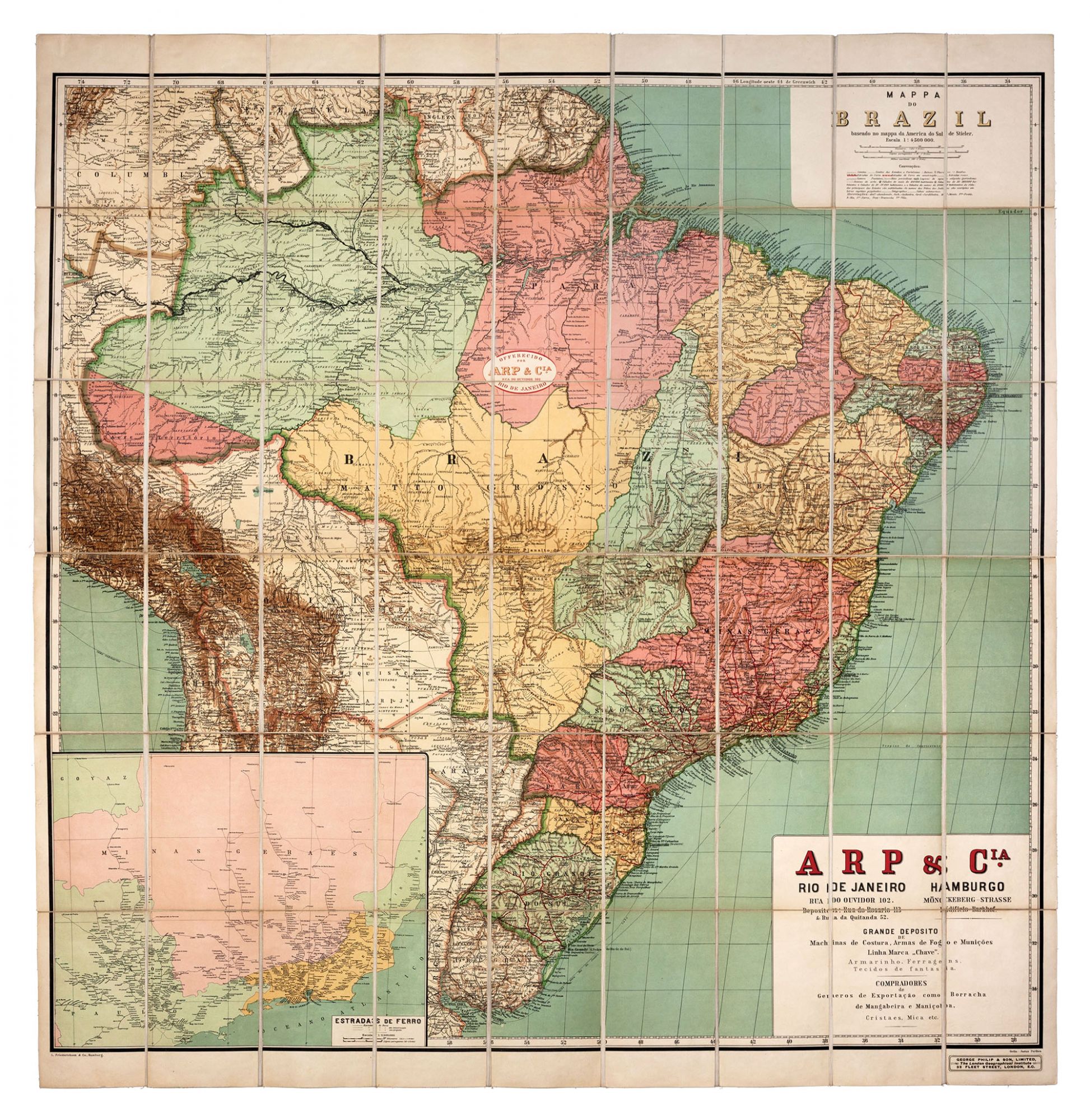
Mappa Do Brazil baseado no mappa da America do Sul de Stieler….
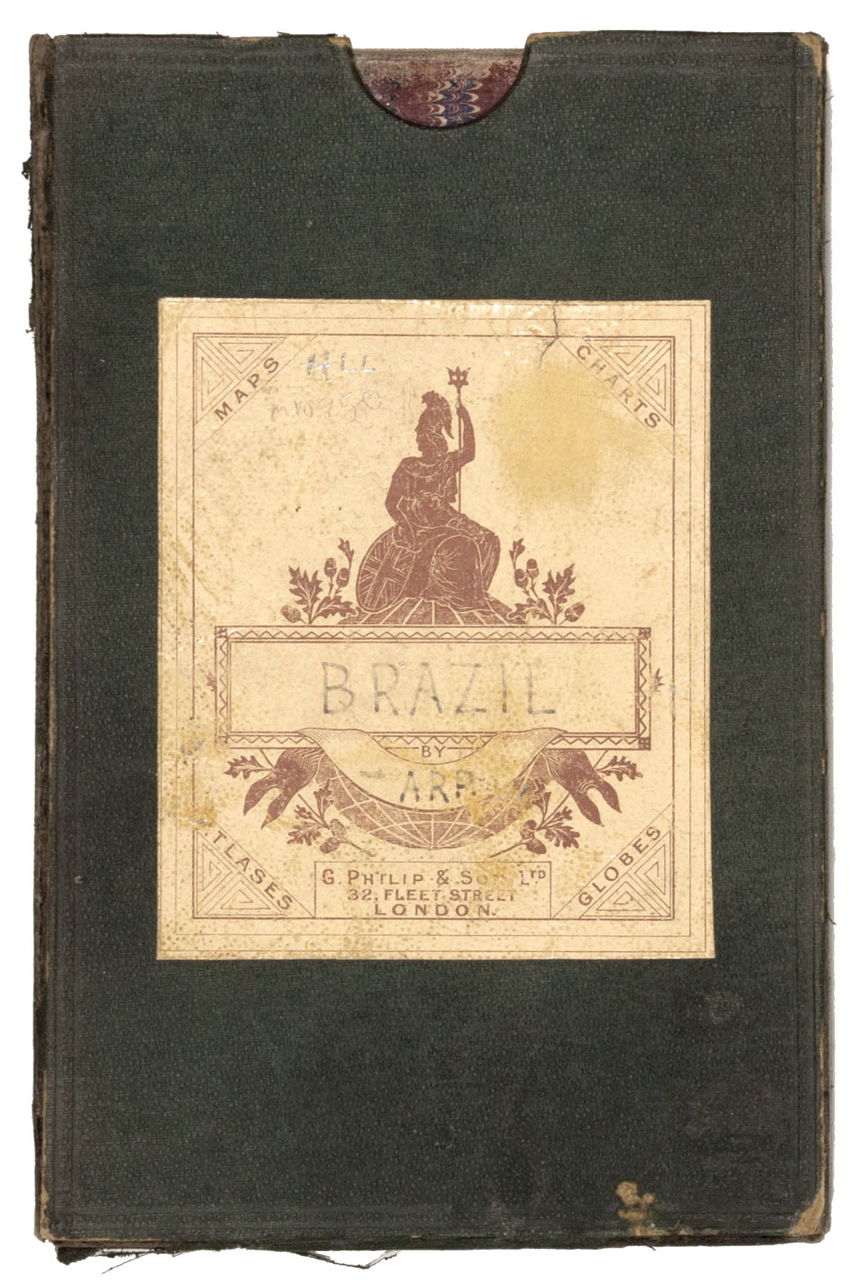
42 x 42 ¼ inches; folds to 7 ½ x 5 inches, Colored lithographed folding map, dissected & mounted on linen as issued, with original slip case, somewhat worn. Map with vibrant color & in fine condition. A very rare, privately printed map created in behalf of the large Hamburg arms dealer, Arp & Co., as promotional piece for its clients in Brazil. The large, vibrantly colorful works depicts the then rapidly developing Brazil, offering an excellent picture of its rail system and roads. The large inset at lower left details the country's rail system, distinguishing between completed and projected lines. The map was published by the venerable firm of Justus Perthes of Gotha. The ‘Convençãos’ below the title of the map at upper right provides symbols for forts, lighthouses, reefs and ruins, as well as those distinguishing cities and towns of various sizes. The map also delineates telegraph lines and major shipping routes. As noted in the title, it was based on Adolf Steiler’s highly exact map of South America, and shows that by this time all of Brazil’s international boundaries had been settled, including the once nettlesome border between Brazil and British Guyana, which was ratified in 1904. ARP & Co. (see their advertisement at lower right) was a major weapons supplier to Brazil as well as to other South American countries in the years leading up to the first world war; it maintained a large office in Rio de Janeiro. The map is extremely rare; we can trace only a single institutional example, at the Bibliothèque nationale de France, and there are no sales records for the map going back 30 years. Bibliothèque nationale de France: FRBNF40601601; OCLC: 494547738.
Sold