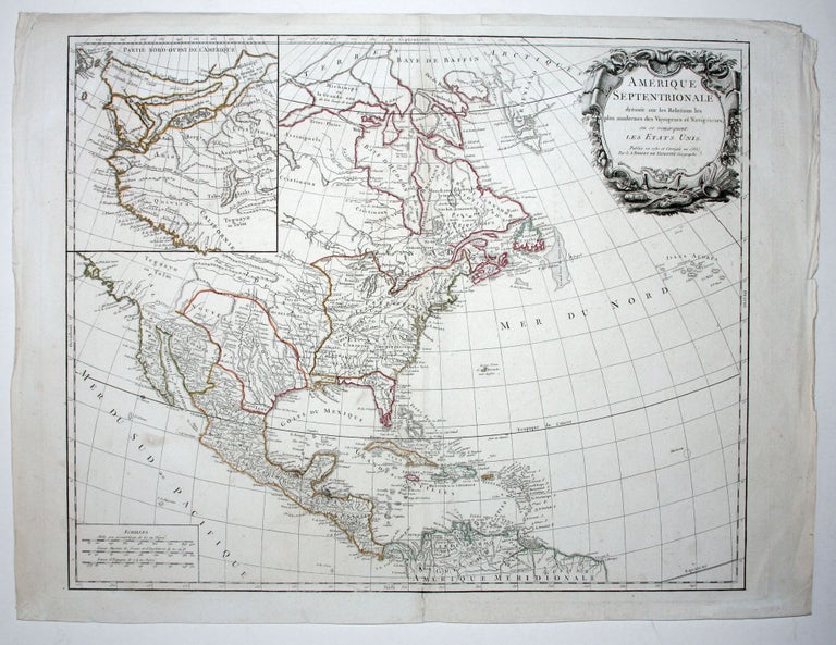
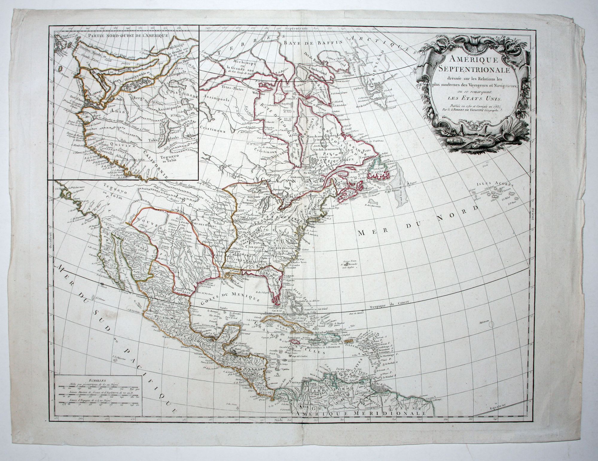
Amerique Septentrionale . . . Les Etats Unis . . . Publiee en 1750 et Corrigee en 1783 . .
18 ¾ x 22 ¾ inches. Original outline color; bottom of centerfold reinforced, else excellent condition.
An early map by the prestigious French mapmaker to include an engraved borderline for the newly founded United States as agreed upon by the Treaty of Paris in 1783. Also, the map’s title was altered from earlier states to incorporate the name (in French) for the United States, Etats Unis, which also appears on the map itself. This state includes much other new information along with the place names that were added to the previous state, such as the Newport, New York City, and Bermuda. Another recent addition to the map, coming in State 4, was the Northwest inset displaying the De Fonte Northwest Passage. This State 6 is distinguished by the absence of Vaugondy’s title, Geographe du roi. With the execution of Louis XVI in 1793, it was likely prudent for Vaugondy to not broadcast his royalty-connected title.
* Pedley, Bel et Utile, no. 450, state 6 (illustrated pp. 208-9).
Sold