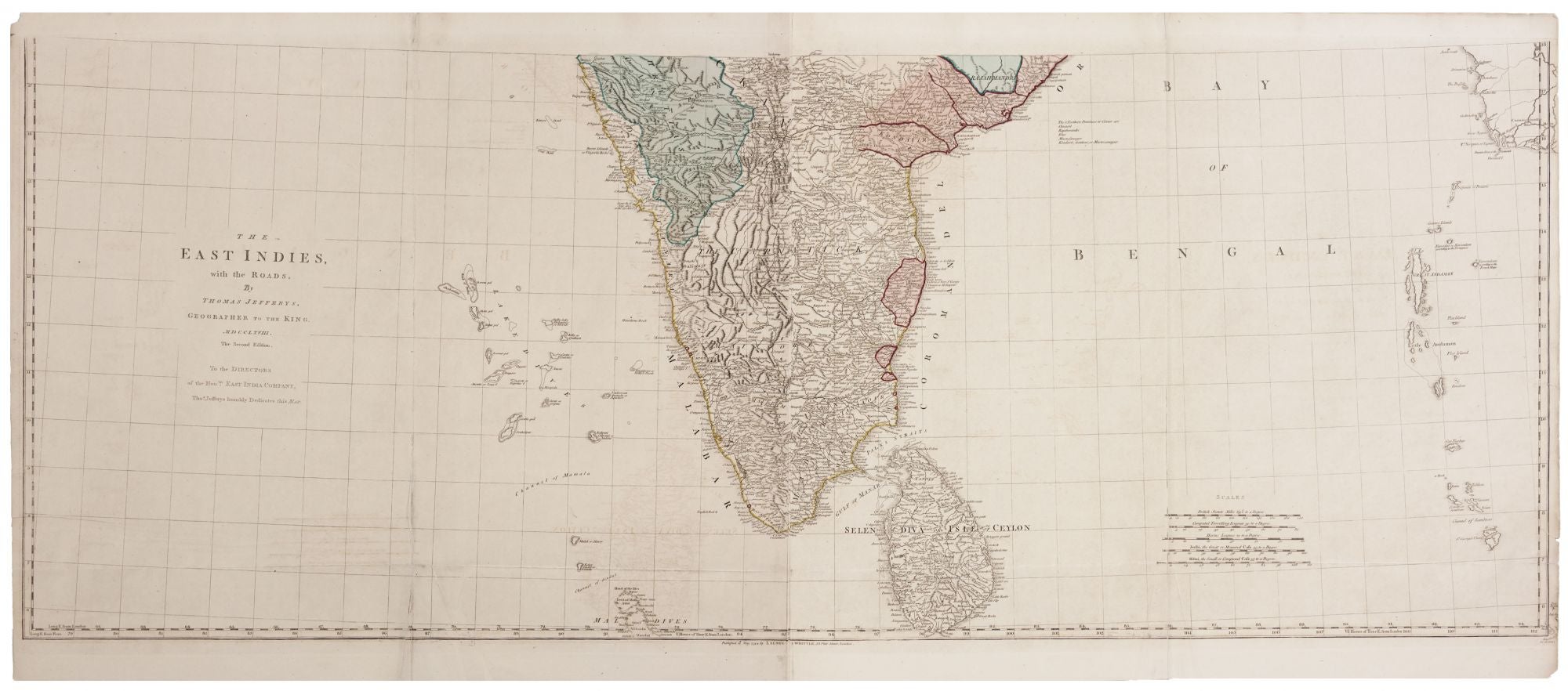
The East Indies, with the Roads…The Second Edition….
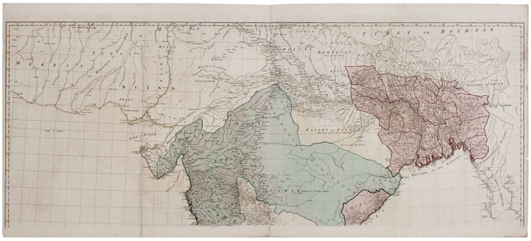
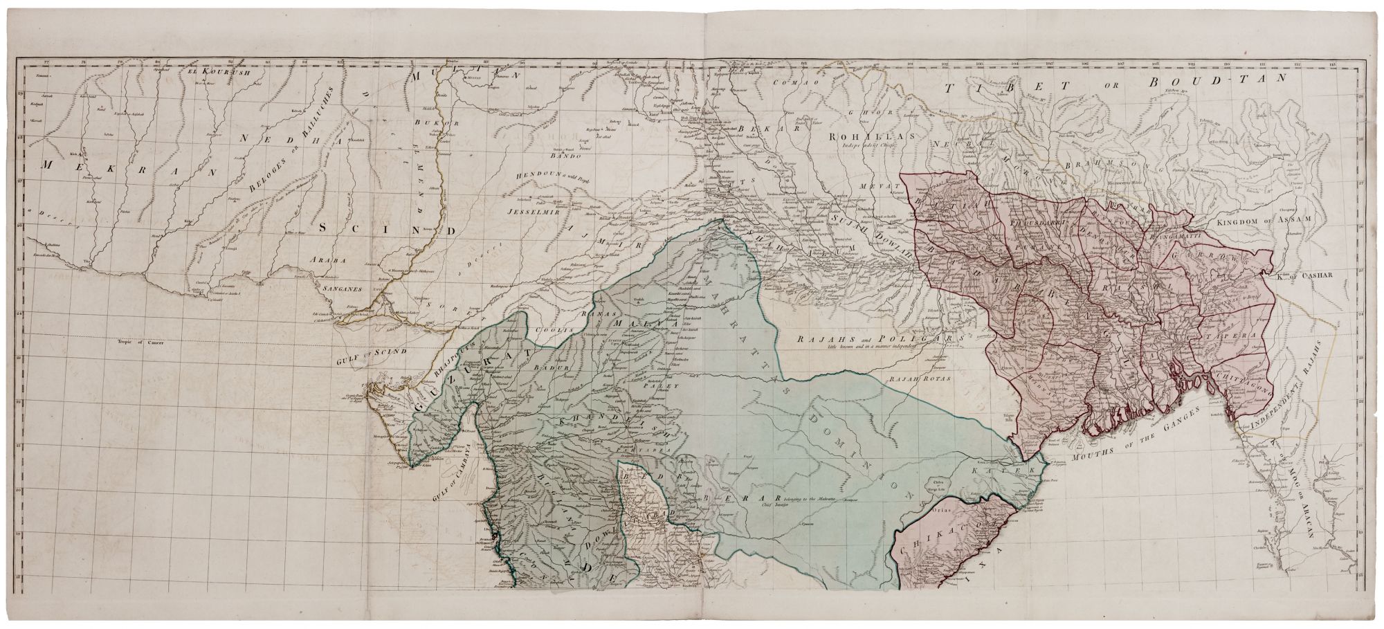
On four sheets joined to form two, one measuring 23 ¾ x 54 inches, the other measuring 20 ½ x 54 inches, and measuring 44 ¼ x 54 inches if completed. Original wash color; fold reinforcements & light offsetting, mended clean tear slightly into surface, still very good, especially for its size. A large, highly detailed map capturing the period when the British East India Company, which was essentially the British Government in India at the time, was gaining a significant foothold in the Indian Subcontinent. Areas under British control are shown in red on the map. The largest such area, most of present day Bangladesh, had then been taken by force from the Nawab of Bengal in the Battles of Plassey (1757) and Buxar (1764). Also, at the time, there was a war going on between Company forces and the Kingdom of Mysore; the contested territory that would eventually be ceded to the British is labeled “Maissore” on the map. Also, very prominent on the map is “Mahrattas Dominion,” referring to the large Maratha Empire, a longstanding Hindu Empire that would go to war with the Company in 1772, eventually losing and leaving the majority of India in Company control by 1818. An important feature of the map is the indication of roads throughout both what is now India and Bangladesh. According to Gole, this second edition of the map appeared the same year as the first edition but with Jefferys’ name removed from the imprint. Gole, India, Jefferys 13.2.2., p. 70.
Sold