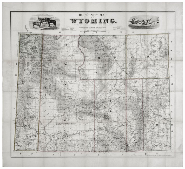
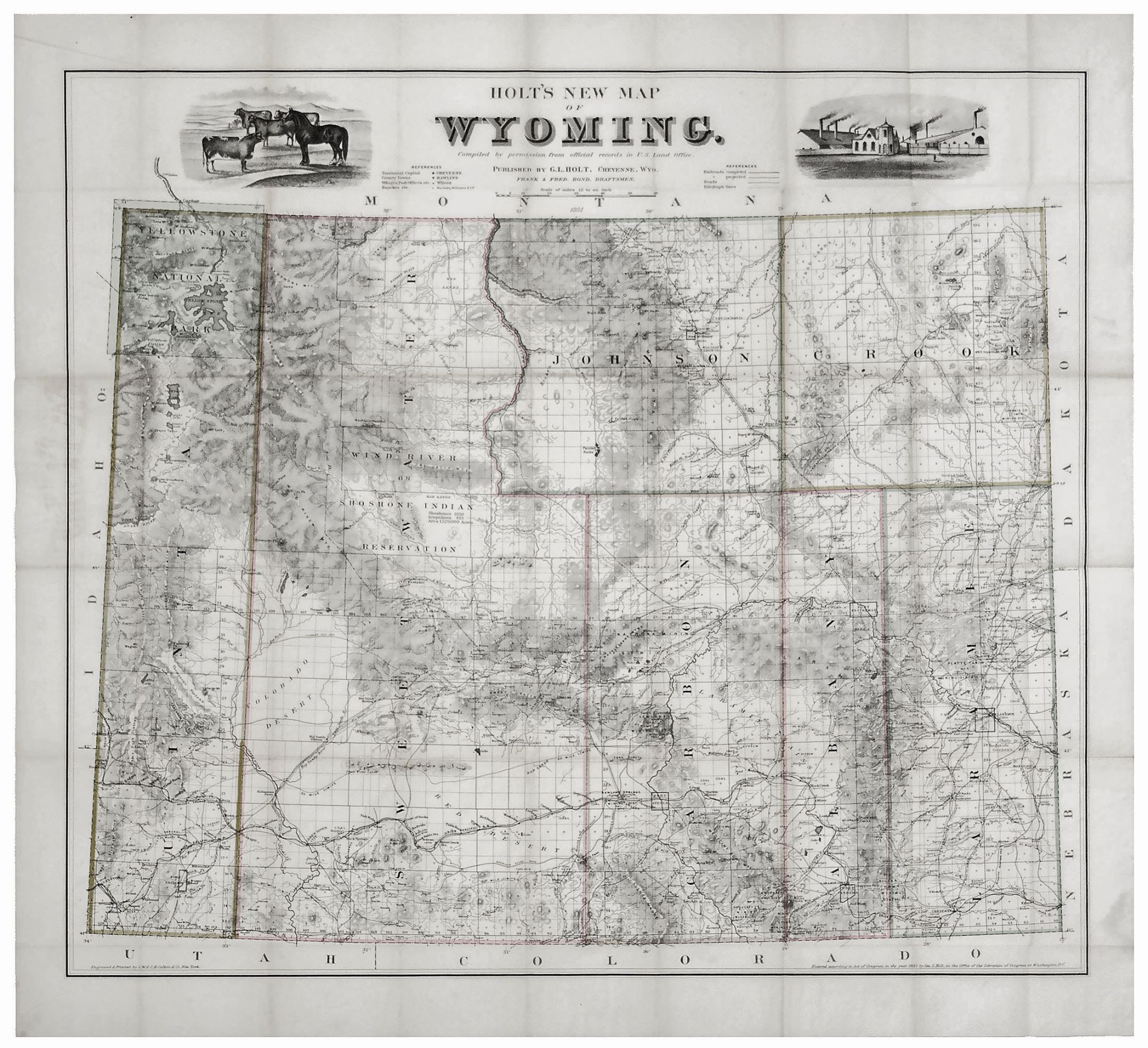
Holt’s New Map of Wyoming.
28 x 31 ¼ inches, Original outline color; two areas of wear at few fold intersections, else fine. The map has been separated from the original stamped cloth covers which are present.
Very scarce, separately issued, attractive map published in Wyoming, in a superb example. It was the best early map of Wyoming and in some respects better even than readily available contemporary maps. Rumsey hails it as “an outstanding map full of interesting detail on all manner of subjects.” Wheat adds: “Its detail is impressive, extending even to a representation of a ‘telephone line.’” Yellowstone National Park (founded 1872) is shown with excellent detail with several hot springs and geysers indicated, and its topography is well-delineated.
The map locates numerous ranches (e.g. “McCray’s No. 6”) and private residences. It also shows mineral deposits, mines, waterways, land grants, Indian reservations, telegraph lines, and railroads. The Union Pacific Railroad is shown as is a survey for the Central Pacific. The Jackson Hole area is shown and named. At the time of the map, domestic animals were being introduced into the area, but the town of Jackson would not be formed until 1892. Eight counties are outlined in bright original color, and township and range boundaries are also indicated. Flanking the title are illustrations of a horse and cattle and of an industrial facility. "Students of early Wyoming history will sometimes find Holt their most helpful cartographic tool"- Wheat.
This is the second edition of the map, which was first issued in 1883. Although Rumsey cites a total of five editions, it is still rare on the market, especially in an example of this quality.
* Rumsey (1883 edition) 4069; Wheat 1302 (1884 edition); Graff 1944; Phillips, Maps 1128 (1883 edition).
Sold