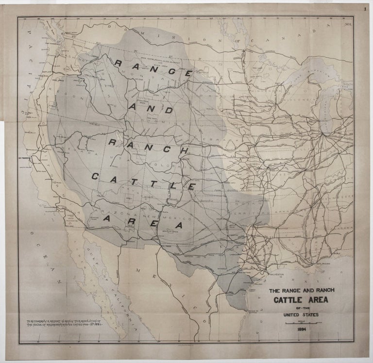
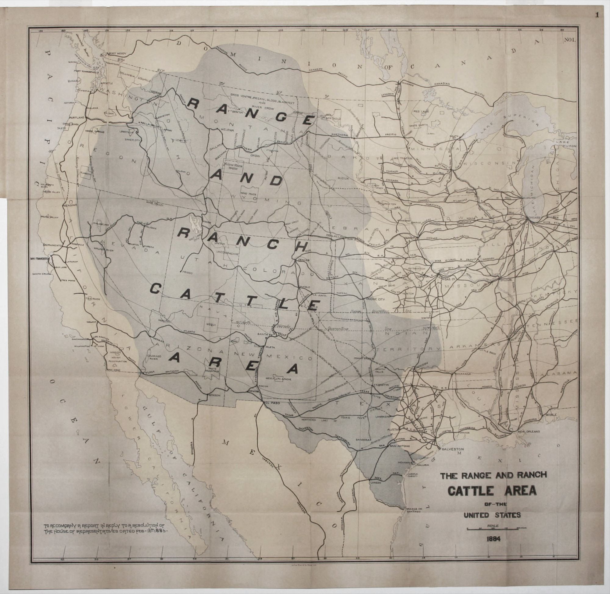
The Range and Ranch Cattle Area of the United States.
23 ¾ x 24 ½ inches, Lithograph with original hand color. Few mended splits, lighted toned, near excellent. A scarce map and certainly one of the most significant in the history of the cattle industry in the United States. In addition to illustrating the cattle range and ranching area of the United States, the map also depicts the proposed route of a National Cattle Trail. Texas cattlemen petitioned Congress to permanently set aside from the public domain a fifty-mile wide strip that would connect in Oklahoma with the Fort Griffin and Dodge City Trail, which originates in Bandera, Texas, and would proceed to the Canadian border. Such a legally designated trail would relieve cattlemen of the chore of negotiating rights of way for cattle drives. The map also delineates the “assumed northern limit of Texas Fever” as well as “quarantine lines” that had to be crossed to reach the railheads of Kansas. These terms refer to the tick-borne disease carried by some Texas longhorn cattle, which resulted in the complete ban of Texas cattle in Kansas as of 1885. All operating railroads in the western half of the U. S. are emphasized on the map. It appeared in a scarce Treasury Department report entitled, Report on the Internal Commerce of the United States, considered to be one of the most important books in the history of cattle ranching. Adams, Ramon. Rampaging Herd #1674.
Sold