Journal Of An Exploring Tour Beyond The Rocky Mountains, Under the Direction Of The A. B. C. F. M….
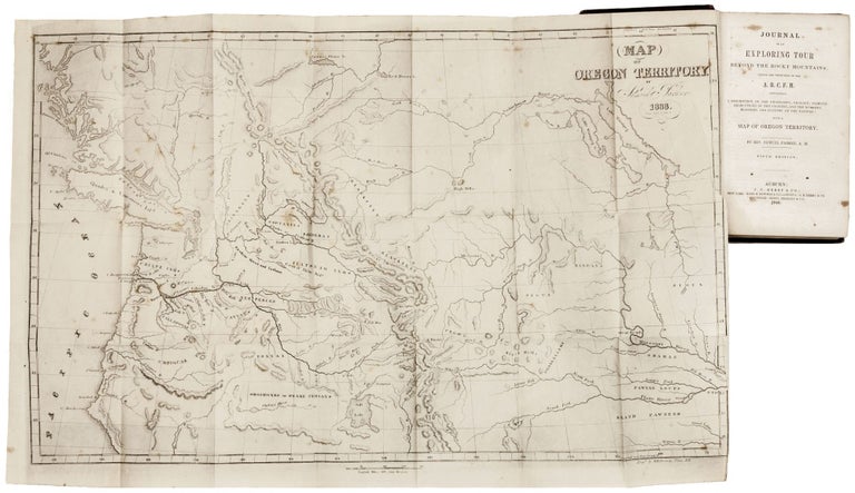
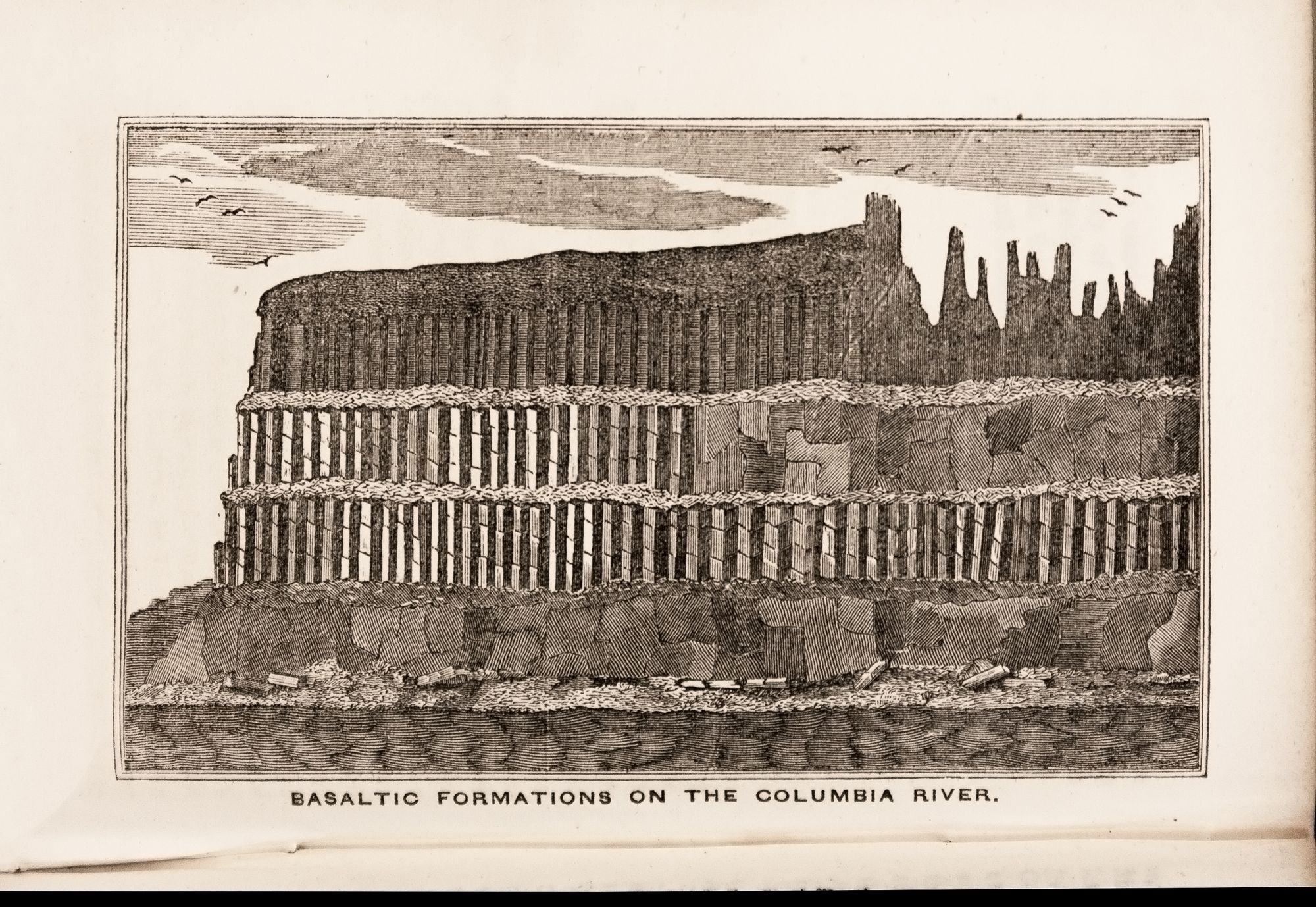
Octavo in original patterned cloth binding, lightly worn, title in gold letters on spine somewhat faded; 428 pp.; with the folding map, 14 x 22 ½ inches, lightly foxed else excellent; text with some foxing but very good overall. Parker's important map, here with the complete text of his narrative, was based on both personal observation and reports of the fur traders of the Hudson Bay Company and is considered a landmark in the mapping of the region. It provided an excellent depiction of the river systems and tribal territories and several forts, including Fort Hall. Samuel Parker was a missionary who accompanied a fur trading party on an expedition (1834 to 1836) from Council Bluffs Iowa to the Oregon Territory. He traveled extensively through present-day Oregon and was the first Presbyterian missionary to the region. At the time, the area was claimed by both the British and the United States and was little known except to the fur traders. The work also includes an interesting wood engraving of the Basaltic Formations on the Columbia River. This is the fifth edition of the book, which was first published in 1838; the map was unchanged throughout its editions. Howes P89; Wagner-Camp 70; Wheat, Transmississippi West, no. 438.
Sold