Southampton/ Portsmouth/ Isle of Wight/ England.
[Paris, 1693]
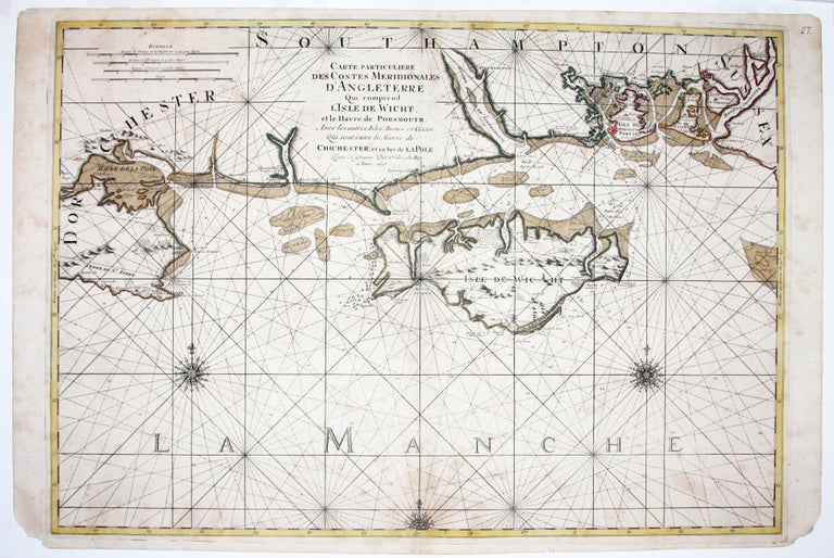
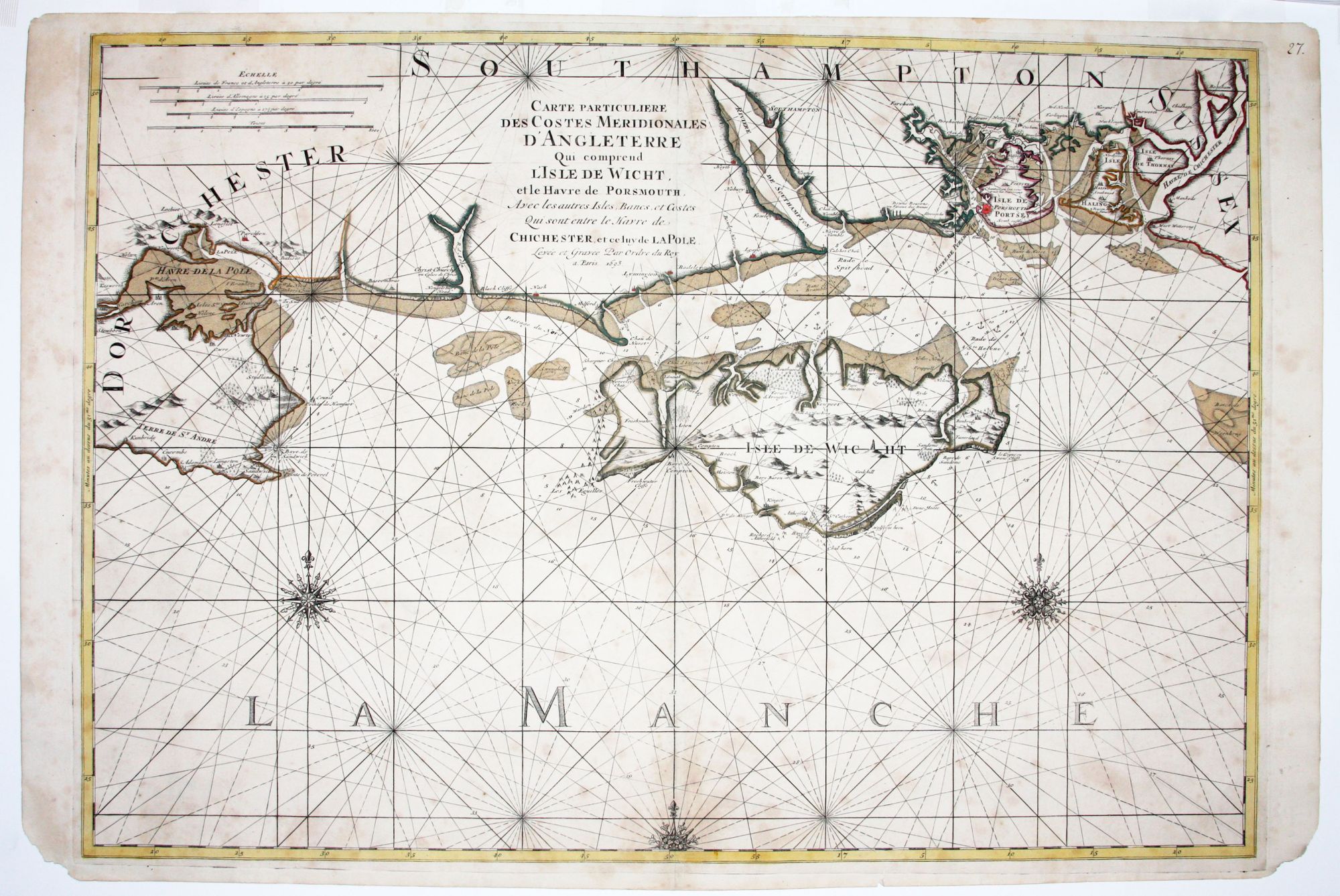
Carte Particuliere Des Costes Meridionales D’Angleterre Qui comprend L’Isle De Wicgt et le Havre de Porsmouth.
23 ½ x 34 inches, Original to shoal areas and in outline; some faint foxing, else excellent.
A scarce, large scale nautical chart, centered on the Isle of Wight, with the harbor of Portsmouth and surroundings well detailed. The chart extends from Chichester Harbor in the east to Poole Bay and the Isle of Purbeck in Dorset in the west. It was published in the monumental Neptune François, described by Koeman as “the most expensive sea-atlas ever published in Amsterdam in the 17th century. Its charts are larger and more lavishly decorated than those of any preceding book of this kind.”
Sold
See all items in
Antique Maps
See all items by P. MORTIER