
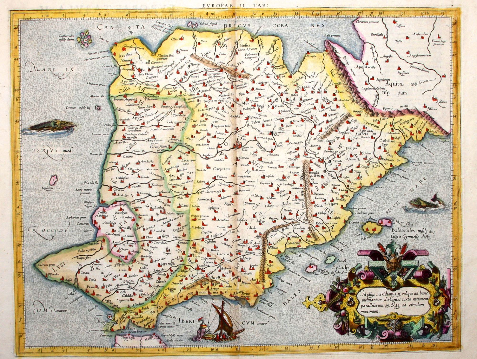
Europae II Tab:.
13 ½ x 17 inches, Fine hand color; light centerfold toning, else excellent condition.
An early edition, the second, of Mercator’s definitive edition of Ptolemy’s map of Spain and Portugal. In this map, engraved by Mercator himself, was the meeting of two of the most important figures in the history of geography. Geographic data and mapmaking instructions left by the Alexandrian, Claudius Ptolemy (fl. A.D. 127-180), became the foundation of mapmaking as we know it today. And it was Gerard Mercator (1512-1594), the great Flemish geographer, whose edition of Ptolemy was considered the most accurate. In particular, Mercator’s maps conformed more closely to Ptolemy’s original design than any of the several earlier editions. Mercator’s became the standard text, with many editions following this one as late as the 18th century.
* Karrow, R. Mapmakers in the Sixteenth Century, pp. 376-406.
Sold