
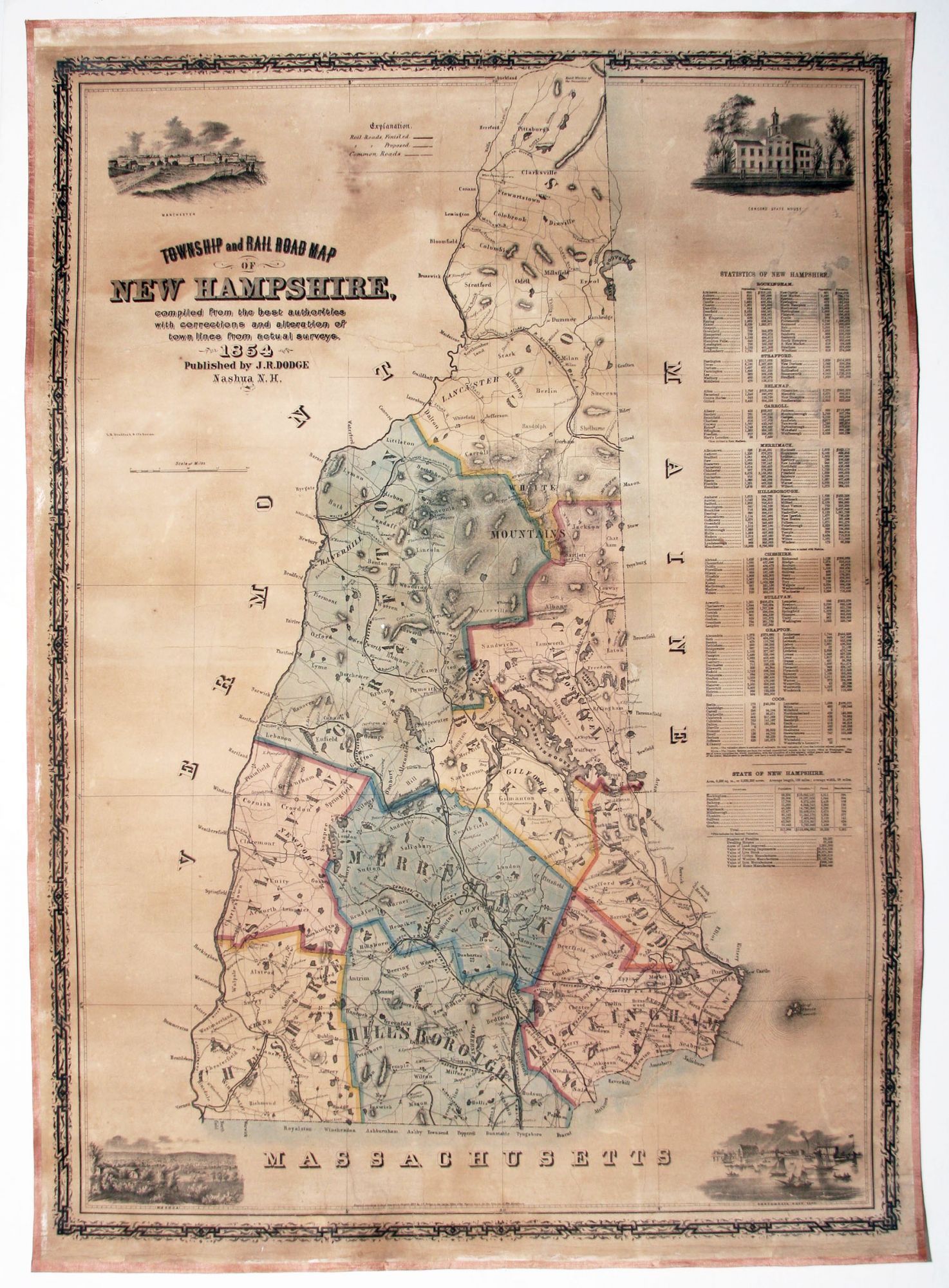
Township and Rail Road Map of New Hampshire . .
34 ½ x 24 ½ inches, Original color, refreshed; expertly conserved & re-mounted on new linen; few areas of manuscript restoration in border & minor cracking & abrasion; still, near excellent of this kind.
First edition of a scarce, separately published, small wall map, highlighting the dramatic growth of railroads and the textile industry that occurred in New Hampshire in the mid 19th century. One of the map’s four views is of the State House in Concord, but the others – of Portsmouth and the up-and coming industrial centers of Manchester and Nashua – hint at the real story of the map. Nashua and Manchester in the 1850s were booming and had in fact forged past Portsmouth economically. While Portsmouth still had its naval yard, Manchester was outstripping the coastal town in both population and valuation. (These numbers appear in a detailed table along the right-hand side of the map.) A look at the map suggests the reason for Manchester and Nashua’s growing preeminence: Portsmouth lay far from the central arteries of the Merrimack River Valley, from which many railroads (both complete and proposed) can be seen, rapidly extending their reach throughout the state.
* Cf Rumsey 246; Cobb 217.
Sold