
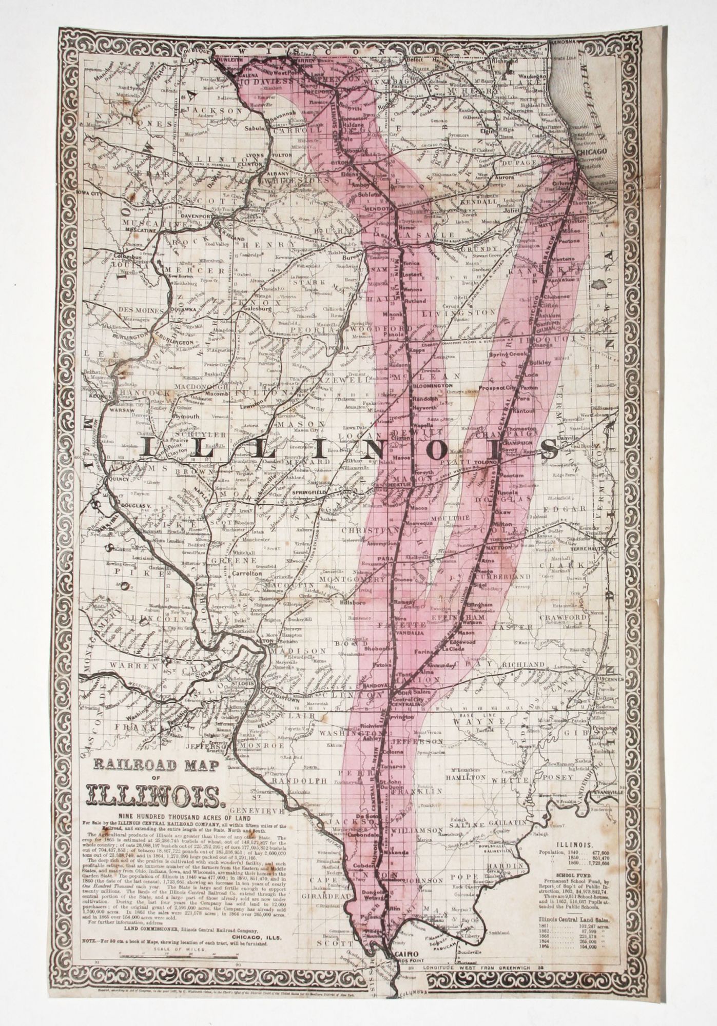
Railroad Map Of Illinois. Nine Hundred Thousand Acres Of Land For Sale by the Illinois Central Railroad Company.
20 x 12 1/4 inches, Lithograph with period hand color; few stains, light soiling, mounted on rice paper, restoration of small part of left engraved border, good overall.
Separately published. A most interesting and scarce map that was made to aid in the sale of land along the Illinois Central Railroad on behalf of the company. Chartered in 1851, the Illinois Central was the first land grant railroad in the United States. It was required to construct a railroad from the northern part of the state to its southern border to fulfill the conditions of the grant. When completed in 1856, it was the longest rail line in the world. In large part, investors in the railroad were re-paid by the sale of lands on either side of the rail line that were part of the original land grant to the rail road. A map such as this one--with the lands for sale boldly colored in pink and also larger in scale than actuality--was an important sales instrument.
In the years leading up to his presidency, Abraham Lincoln was on retainer to the Illinois Central Railroad. It was his largest client, and he was involved in over 50 cases on their behalf.
The text below the title of the map provides a glowing report, rich in statistics, of Illinois' agricultural output and potential. It also notes the acreage sold by the Illinois Central to date as does a table at lower right.
Sold