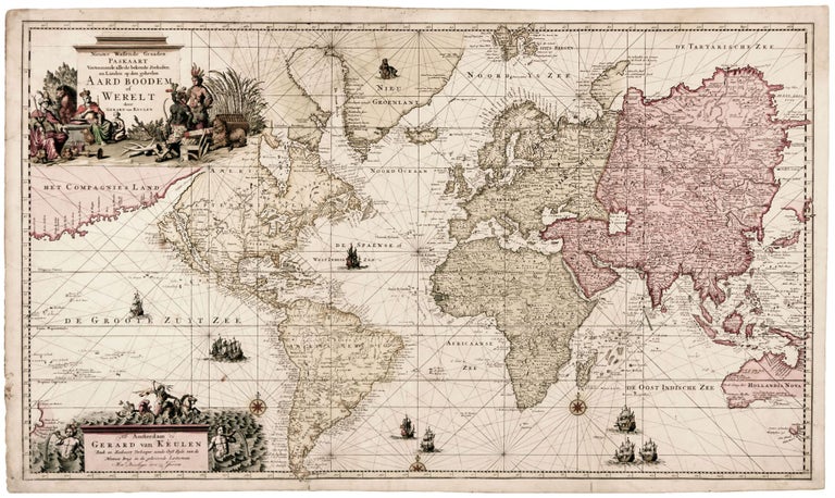
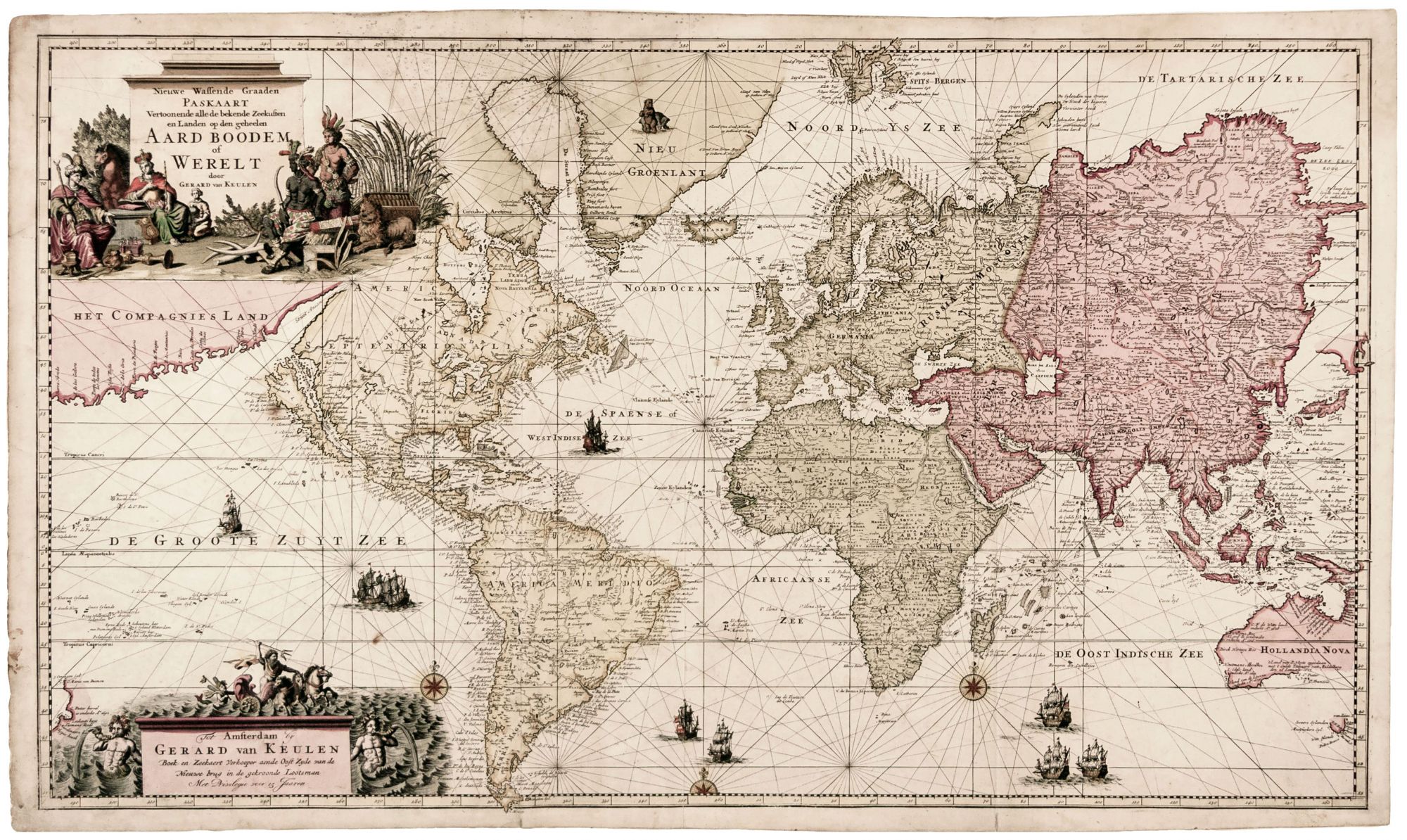
Nieuwe Wassende Graaden Paskaart Vertoonende alle de bekende Zeekusten en Landen op den geheelen Aard Boodem of Werelt door Gerard van Keulen.
23 ¼ x 39 ¼ inches, Fine original color; printed on double ply paper, one area of manuscript restoration in water area, few stains and an area of old foxing, some marginal mends, near excellent. A very scarce and beautiful world map by one of Amsterdam’s most successful and established chart makers. Although the Van Keulen firm printed charts and maps for more than a century, they produced only two of the maps of the world. This one, added to the atlas in 1728 by Gerard van Keulen, improved on its predecessor both aesthetically and in terms of content. Johannes van Keulen’s earlier world map (Shirley 512) was basically a chart: it had only shown coastal detail and was sparing in ornamentation. Gerard’s new work is rich in interior detail for every major landmass, and as such is more deserving of the term “map” than “chart.” North America displays a well-formed depiction of the Great Lakes and Mississippi River, and Fort de Creveceur is shown near the Illinois River. Africa shows the source of the Blue Nile at Lake Tana, though vestiges of Ptolemy’s Nile geography remain to the south. Russia, Siberia and Tartaria are all shown in detail. The Van Keulen firm also produced state-of-the-art charts of the Caspian and Black seas at this time, so it appears they had access to current Russian maps as source material. Australia, too, has more detail here than did the earlier Van Keulen map, dating the landfalls of various Dutch explorers, perhaps to emphasize Dutch claims to Hollandia Nova. Throughout the map, coast lines have been improved as well as the interiors. The east coast of Siberia has been redrawn after Nicolas Witsen’s 1687 map of Tartary. A great “Compagnies Land” has been added off the northwest coast of America, constituting a bold claim for Dutch control over a vast territory that would be proven later not to exist. Oddly, given its date and the other innovations of the map, California remains an island on it. This is also one of the most richly decorative maps of the Van Keulen firm, boasting a beautiful allegorical title cartouche with personifications of the continents as well as a variety of flora and fauna. A secondary cartouche emphasizes the nautical nature of the map, peopling a stormy sea with Poseidon and his nymphs. Koeman, Atlantes Neerlandici, Volume IV, pp. 319 & 370, Keu 44.
Sold